Nokia Maps 2.0 anything but pedestrian
At GSMA 2008 Mobile World Congress, Nokia shows off the beta version of Nokia Maps 2.0 with new features such as pedestrian mode and satellite imagery.


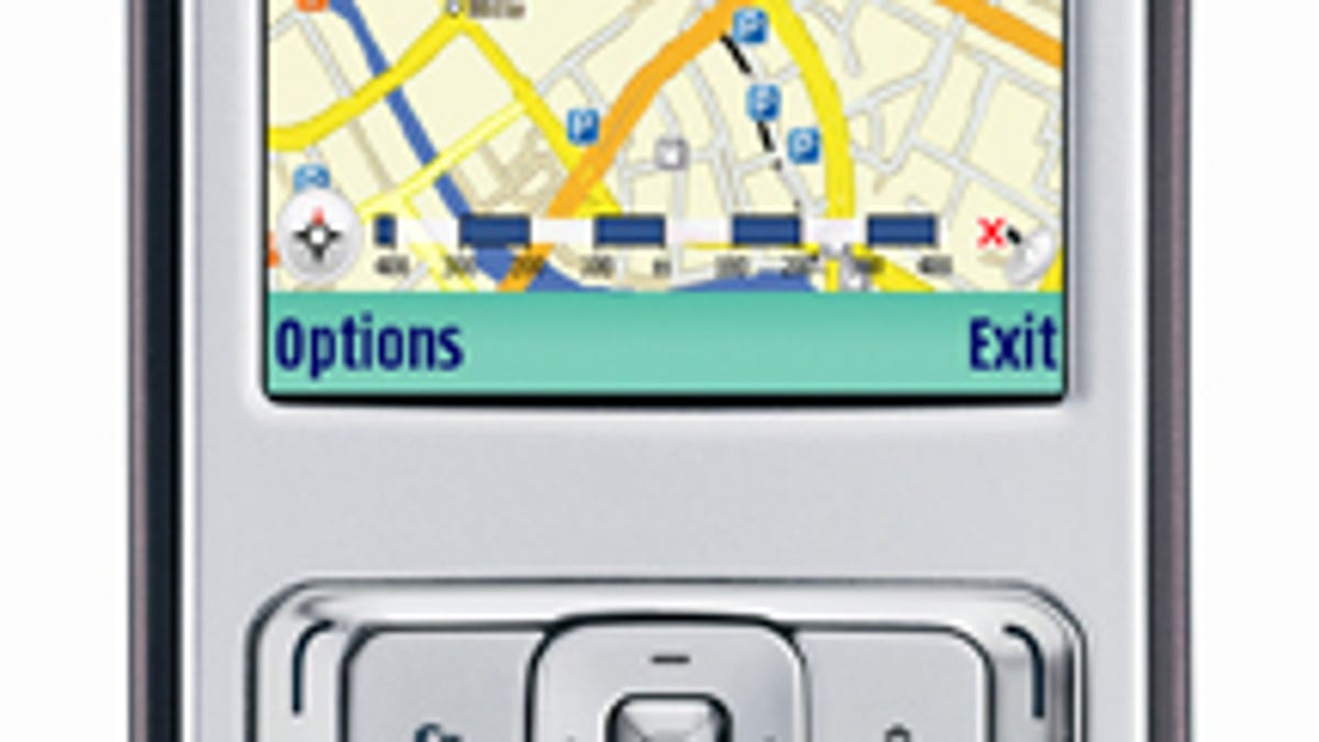
Hey, go take a walk, why don't ya? That is, with Nokia Maps 2.0. Nokia announced at GSMA 2008 that its newest version of the mapping and software application is now available in beta form, and it brings a number of enhancements, including more advanced pedestrian navigation. This makes complete sense to me, given that cell phones and smartphones make for better handheld navigators than in-car GPS. Of course, I realize not everyone lives in a place where you can walk to your destination, but for those who do, the new features of Nokia Maps 2.0 are pretty awesome.
First, there's the Walk function that gives you visual turn-by-turn directions and also provides information about surrounding streets and buildings. In newer handsets like the just-announced
Nokia Maps 2.0 is available for selected devices from the Nokia Beta Labs Web site, and the company hopes to bring the application to the mass market along with a Series 40 version during the first half of the year.