App sneak peek: Accuterra 3.1 topo maps
At the CTIA Wireless conference in San Diego, we get a peep at the road map for an app for outdoor enthusiasts.


As a wannabe weekend warrior, I'm happy to see topographical maps for mobile phones gaining ground on decidedly consumer devices. Interactive trail maps like Accuterra for iPhone make a lot of sense, especially with cellular reception and baked-in GPS chips strong enough in so many local hills and national parks that you can actively record your steps, share photos, and track your stats.
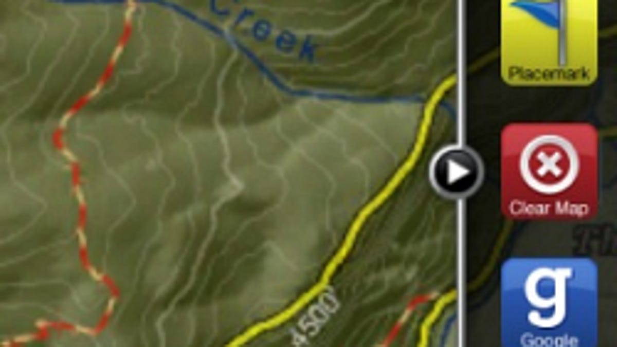
At CTIA Fall 2009 (see all stories), we got a sneak peek at the next version of Accuterra that will hit the iPhone app store. Version 3.1, which is expected in a few weeks, doesn't layer on a ton of features, but there is a new slide-out panel we like that makes the controls much more accessible. With a well-aimed swipe and a tap, you'll be able to toggle between the Accuterra topo maps and Google's maps. The app will also contain a simpler library organized around a search bar up top and traditional iPhone tab menu buttons below.
By the end of the year, you should be able to purchase extra content within the app, such as a video of your location or a historical Civil War walking tour. Accuterra costs 99 cents in the App Store; with local maps selling for about $3 each.