Google Street View goes off road in California parks (pictures)
Mounted on the backs of hikers, Google's 360-degree camera tech goes hiking in 14 California state parks and beaches.


Panoramic park imagery
California State Parks and Google Maps are working together to bring the state's park, trails and beaches to Street View.
The first 14 state park are live on Google Maps starting Tuesday, with more virtual views of parks and trails on the way. The parks were mapped using Google's Trekker backpack system, which can capture 360-panoramic views of places inaccessible to cars.
Related article: "A walk in the park: Google Maps hits the trails in California"

Mount Tamalpais State Park
John Laird, secretary of the California Natural Resources, speaks at Mount Tamalpais on Tuesday in Mill Valley, Calif., where California State Parks and Google showed off their joint effort to map the state's parks.

View from the trails
Google says the project is part of an effort to reach wider audiences, bringing the beauty of the outdoors to more than 1 billion Google Maps users around the world.
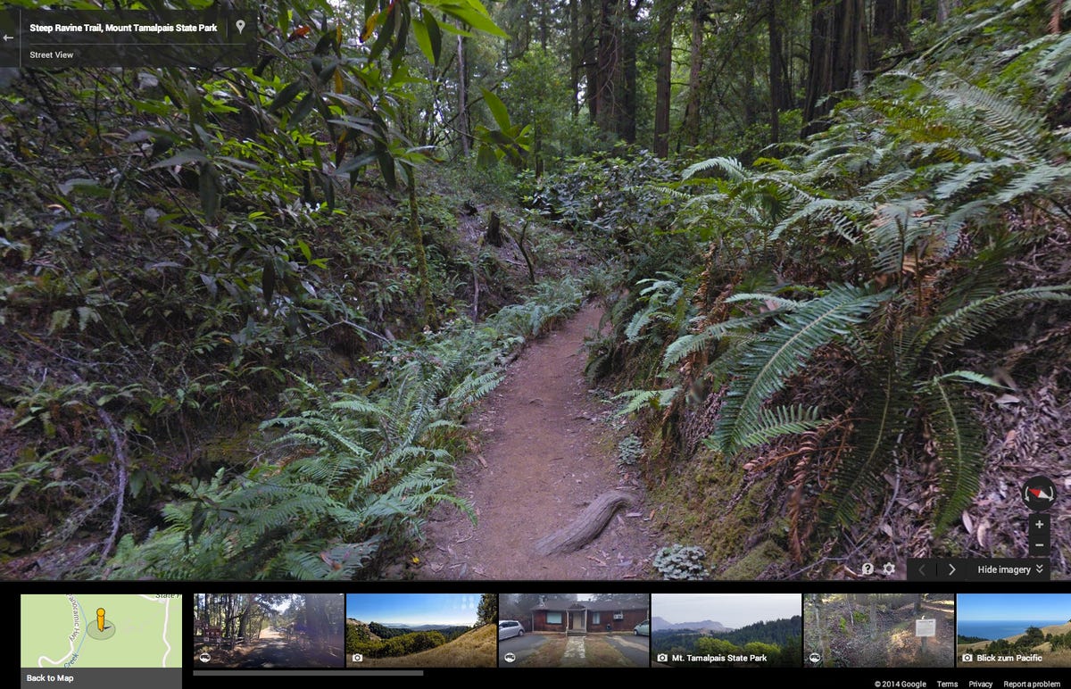
Steep Ravine trail
A screen capture shows the new 360-degree panoramic view, live now on Google Maps, of the Steep Ravine Trail on Mount Tamalpais.

Virtual park visits
The battery pack for the Trekker's camera lasts about 6-8 hours. The Street View maps will allow people from around the world visit California's state parks virtually, Google said.
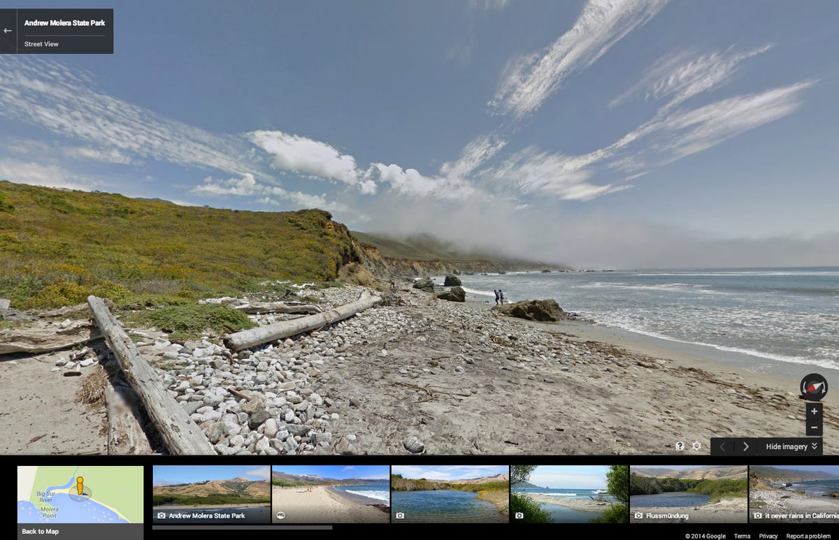
Andrew Molera State Park
A screen capture of Street View for Andrew Molera State Park, located along the coast in Big Sur, Calif.

Off the grid and online
Google is working with the state to identify additional locations to map out, and its also looking at parks outside of California.
"Just because the road ends, doesn't mean there's not more beautiful imagery to be seen," said Deanna Yick, program manager for Google Street View.
More Galleries

My Favorite Shots From the Galaxy S24 Ultra's Camera
20 Photos
Honor's Magic V2 Foldable Is Lighter Than Samsung's Galaxy S24 Ultra
10 Photos
The Samsung Galaxy S24 and S24 Plus Looks Sweet in Aluminum
23 Photos
Samsung's Galaxy S24 Ultra Now Has a Titanium Design
23 Photos
I Took 600+ Photos With the iPhone 15 Pro and Pro Max. Look at My Favorites
34 Photos
