How Google gets all that Street View data (photos)
Google captures Street View data, but not just for streets. At the Google I/O show, the company showed its data-gathering trike, backpack, submarine, and snowmobile, too.
Stephen Shankland
Stephen Shankland worked at CNET from 1998 to 2024 and wrote about processors, digital photography, AI, quantum computing, computer science, materials science, supercomputers, drones, browsers, 3D printing, USB, and new computing technology in general. He has a soft spot in his heart for standards groups and I/O interfaces. His first big scoop was about radioactive cat poop.
The standby of the Street View fleet is the car, in this case a Subaru Impreza. Google is showing this one off at the Google I/O 2013 show in San Francisco. The first Street View images were released for Google Maps in 2007 for five cities, but now the panoramic views are available for 3,000 cities.
2 of 11 Stephen Shankland/CNET
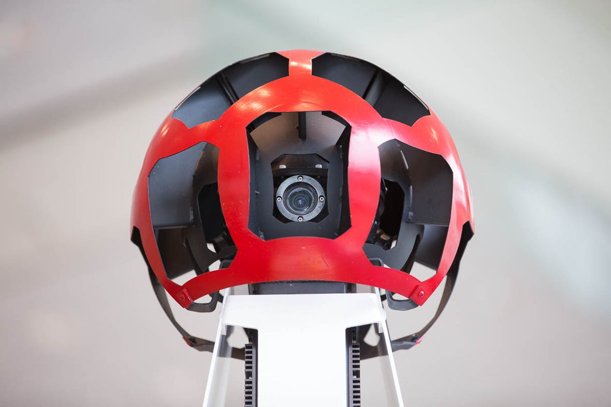
Street View eyeballs
The Street View camera pod on each car has multiple cameras gazing at the world. Google showed the Street View technology at its Google I/O 2013 show developer in San Francisco.
3 of 11 Stephen Shankland/CNET
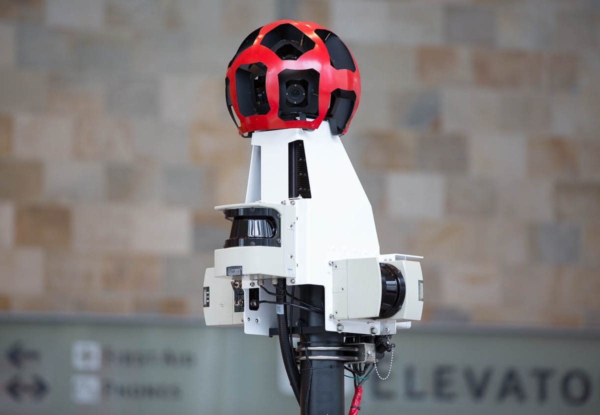
Street View sensor pod
Atop each Street View car is a sensor pod that takes photos, keeps track of position with a GPS receiver, and uses lasers to perform a 3D scan of nearby buildings and other features. Google showed the Street View technology at its Google I/O 2013 show developer in San Francisco.
4 of 11 Stephen Shankland/CNET
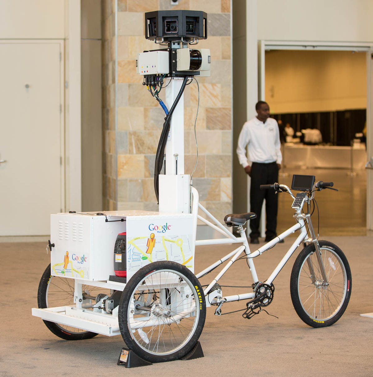
Street View trike
The Street View trike is used to map parks, trails, and other areas where cars can't reach. It was the the brainchild of mountain biker and Google employee Dan Ratner. Google showed the Street View technology at its Google I/O 2013 show developer in San Francisco.
5 of 11 Stephen Shankland/CNET
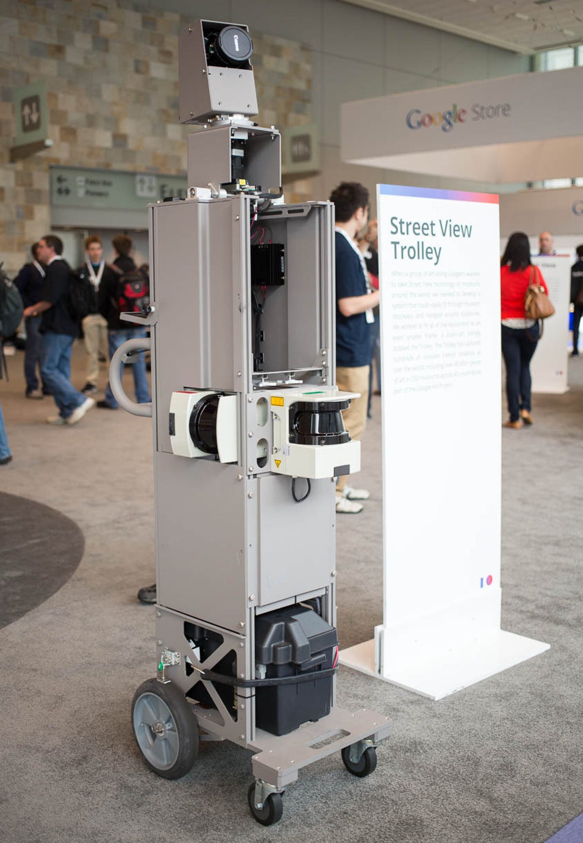
Street View trolley
The Street View trolley has been used to map 200 museums, including photos of 40,000 works of art. It's skinny enough to fit through doors and to avoid bumping into sculptures. Google showed the Street View technology at its Google I/O 2013 show developer in San Francisco.
6 of 11 Stephen Shankland/CNET
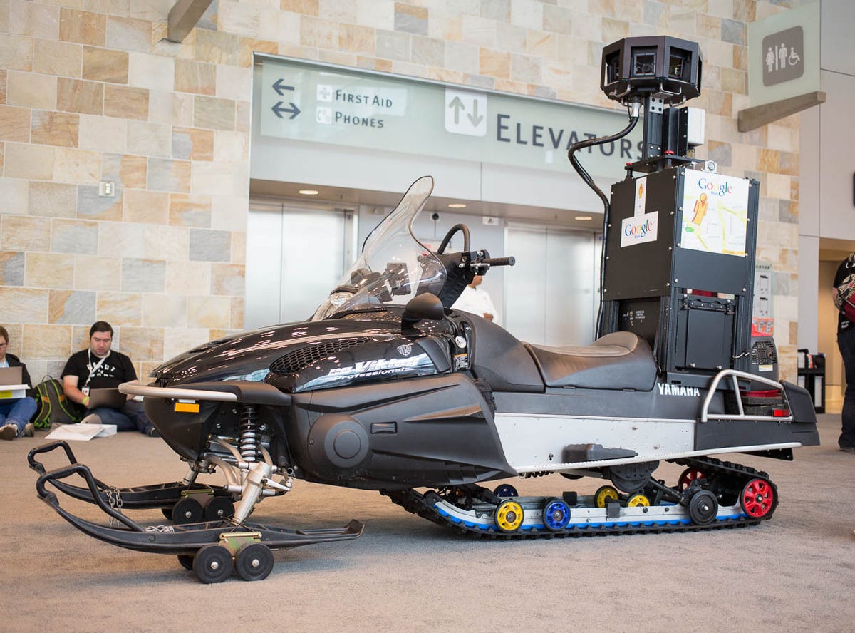
Street View snowmobile
The Street View snowmobile is used to map ski areas. Google had to adapt the technology to keep hard drives warm enough. Google showed the Street View technology at its Google I/O 2013 show developer in San Francisco.
7 of 11 Stephen Shankland/CNET
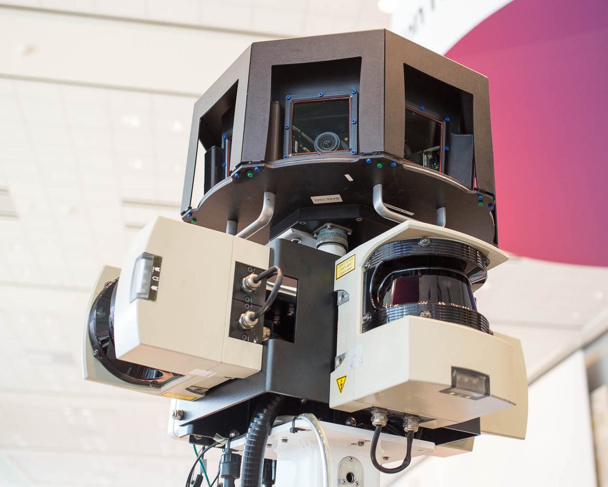
Street View snowmobile sensors
The Street View snowmobile also comes with a sensor pod with cameras and 3D laser scanners.
8 of 11 Stephen Shankland/CNET
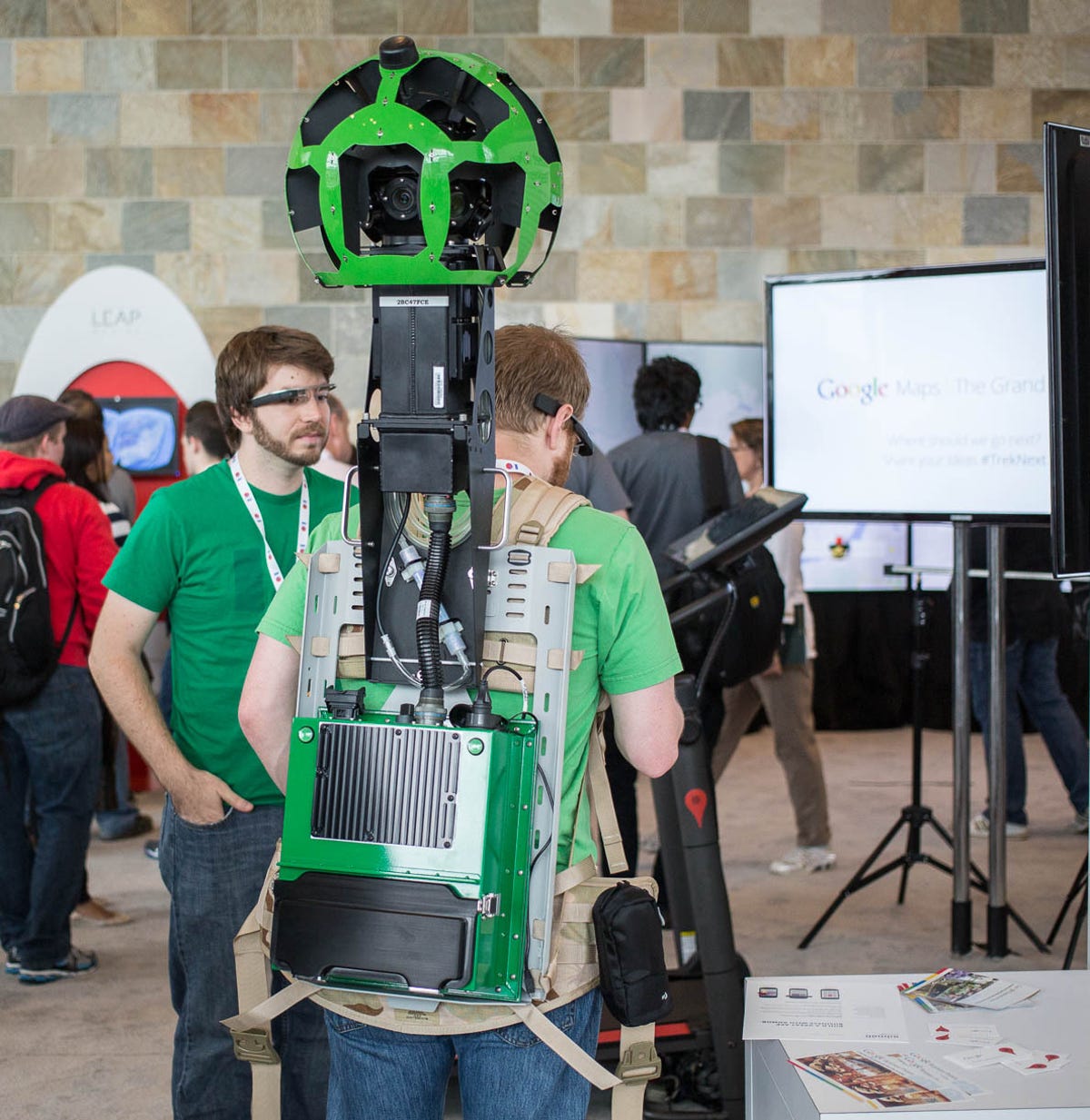
Street View trekker
The Street View trekker, the most mobile of the data-gathering systems, has been used to map the Grand Canyon. It weighs 40 pounds, including an 8-pound battery, so a team of people is required. It's operated by an Android device and has 15 camera lenses. Google showed the Street View technology at its Google I/O 2013 show developer in San Francisco.
9 of 11 CNET
Street View trekker
The Street View trekker towers above its wearer's head. This is a photo of CNET's Stephen Shankland.
10 of 11 Stephen Shankland/CNET
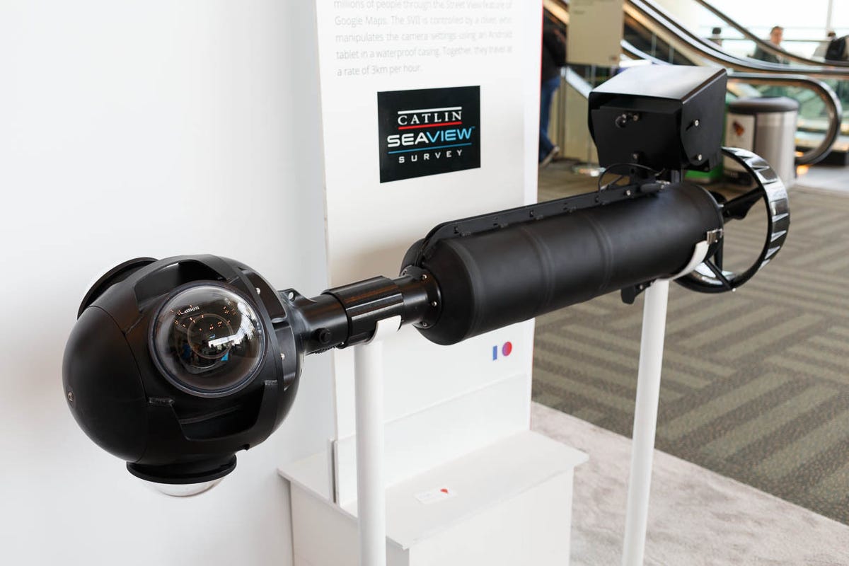
Street View underwater camera
For underwater mapping, Google uses a self-propelled, diver-controlled underwater camera housing called the SVII. The diver uses an Android tablet to control the device. Google is cooperating with Caitlin Seaview Survey, a scientific study of the world's reefs.
11 of 11 Stephen Shankland/CNET
Street View underwater camera
The rear end of the SVII camera system has a propeller to move it and the diver along at about 2mph. Google showed the Street View technology at its Google I/O 2013 show developer in San Francisco.