Google Earth adds geotagged panorama photos to save you an airfare
Google Earth has added panoramic photos to land you right in the middle of the world's most beautiful locations. We've rounded up some of the most beautiful so far.


Google Earth has added panoramic photos to land you right in the middle of the world's most beautiful locations, without shelling out a fortune on an airfare.
Google's incredible multimedia mapping software now has a new layer to display the geotagged photos. Turning on the layer allows you to see user-submitted photos from location-based photo-sharing sites Panoramio and 360cities.net.
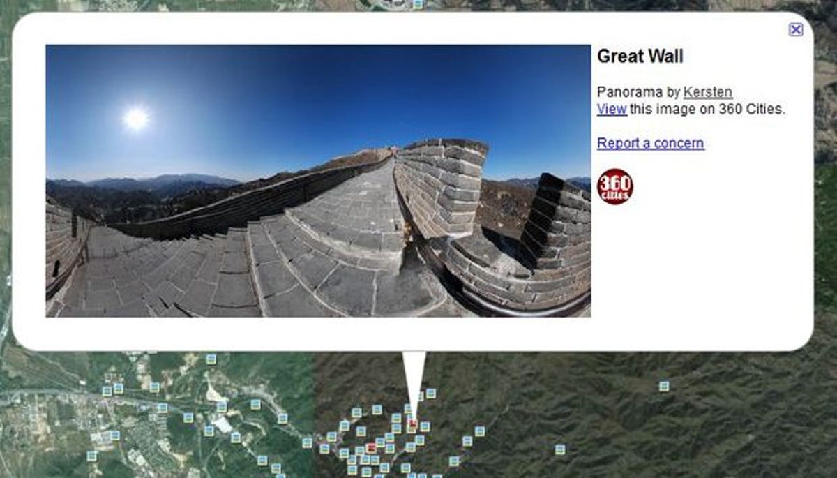
Panoramic shots are marked with a red square icon in Google Earth. Clicking on one brings up an info bubble telling you who took the shot. Click again to go into full-screen 360-degree viewing mode to zip round the high-resolution photo and feel like you're actually there. Kinda.
360cities features the same fantastic 360-degree scrolling around the panoramic shots right in your broswer, making you feel almost like you're actually there. Sorta.
Other layers on Google Earth include weather, roads, 3D buildings and 'global awareness', a layer that allows charity and non-profit do-gooders to illustrate the work they do.
To get involved, all you have to do is take a panoramic shot and submit it to one of the sharing sites, geotagged with the location it was taken. You can manually geotag pictures, but a number of cameras now have GPS built-in, including the Panasonic Lumix DMC-TZ10, Sony Alpha SLT-A55 and Samsung ST1000, all winner's of our prestijus Editors' Choice award. Click through our gallery to see some of the pictures already on Google Earth.


More Galleries

My Favorite Shots From the Galaxy S24 Ultra's Camera
20 Photos
Honor's Magic V2 Foldable Is Lighter Than Samsung's Galaxy S24 Ultra
10 Photos
The Samsung Galaxy S24 and S24 Plus Looks Sweet in Aluminum
23 Photos
Samsung's Galaxy S24 Ultra Now Has a Titanium Design
23 Photos
I Took 600+ Photos With the iPhone 15 Pro and Pro Max. Look at My Favorites
34 Photos
