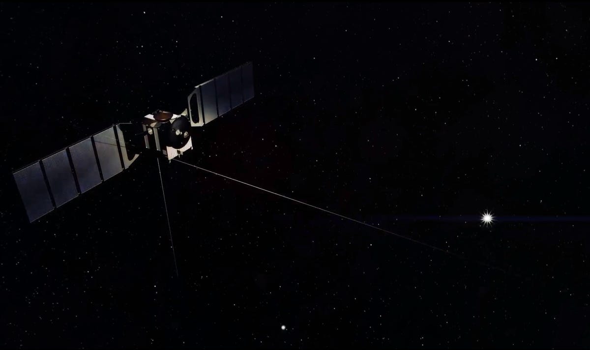
Launched on June 2, 2003, the European Space Agency’s Mars Express arrived at Mars six and a half months later. In the past 10 years, it has orbited the planet nearly 12,500 times, returning unprecedented images and massive amounts of data.
This information has been woven together to create a topographic model of the surface, providing a stunning visualization of the terrain, from the highest volcano to the deepest canyon, flying over impact craters, ancient river beds, and lava flows.
2 of 9 ESA / DLR / FU Berlin (G. Neukum)
High Resolution Stereo Camera
Mars Express' High Resolution Stereo Camera captured these images, which were used along with additional data to create the video released by the DLR German Aerospace Center in June as part of the 10 years of Mars Express celebrations. (The camera was developed and is operated by the DLR.) The images in this slideshow are from that video.
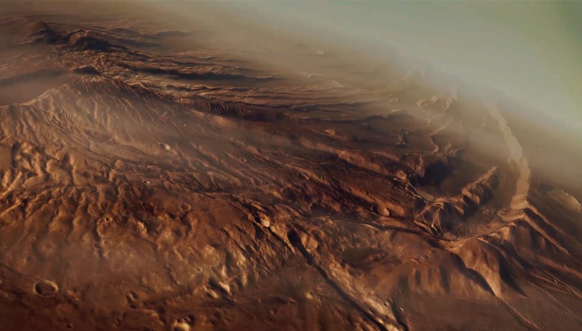
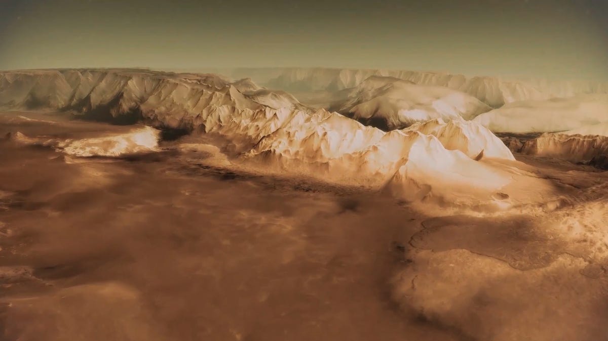
3 of 9 ESA / DLR / FU Berlin (G. Neukum)
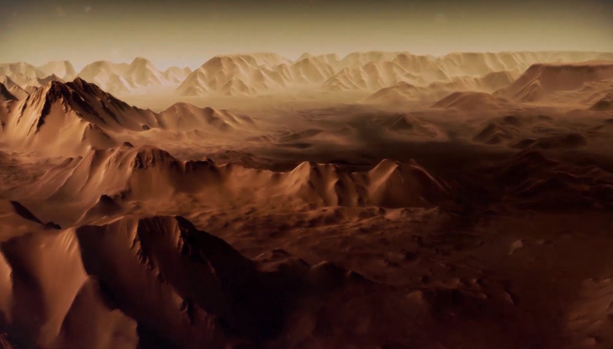
Vast mountain ranges
Vast mountain ranges are seen on Mars, some of which are believed to be more than 13 miles high.
4 of 9 ESA / DLR / FU Berlin (G. Neukum)
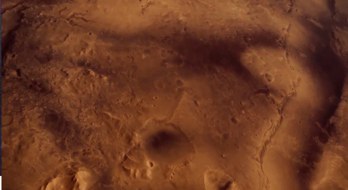
Crater flyover
The animation shows Mars Express flying over the craters of the planet, where numerous landslides, resulting from water weakening the crater walls, have occurred, leaving grooves in the walls and debris piled on the floor below.
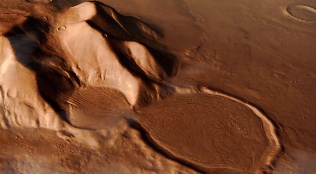
5 of 9 ESA / DLR / FU Berlin (G. Neukum)
Detailed terrain
The detailed images show the presence of movement, some resulting from sediment transport due to the flow of water.
6 of 9 ESA / DLR / FU Berlin (G. Neukum)
Deep canyons
Along with tall mountains, Mars' terrain has vast, deep canyons. The Valles Marineris system of canyons is more than 2,500 miles long, 120 miles wide, and in places as deep as 23,000 feet.
7 of 9 ESA / DLR / FU Berlin (G. Neukum)
Sediment flow
Alluvial fans such as these seen here are some of the more concrete clues to the evidence of liquid water flowing on the Martian surface.
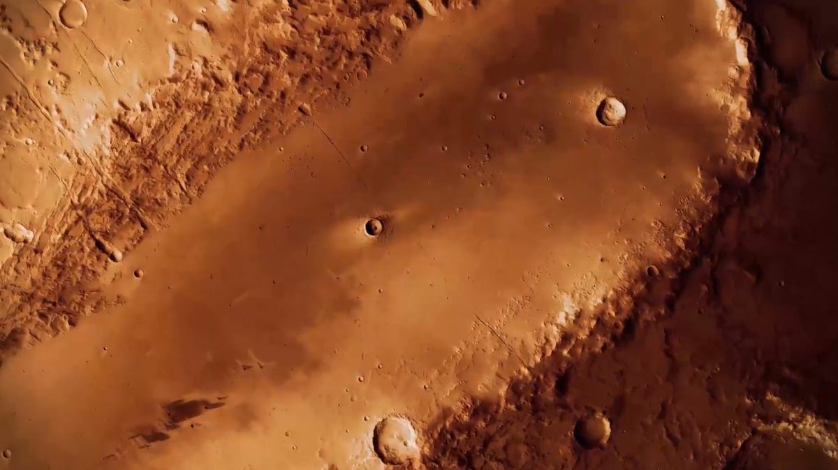
8 of 9 ESA / DLR / FU Berlin (G. Neukum)
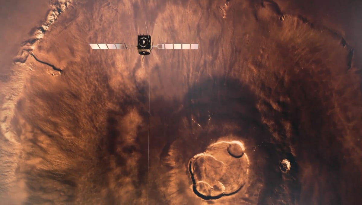
Orcus Patera "The Bootprint"
Smaller craters are seen inside the larger 240-mile elliptical crater Orcus Patera, also known as "The Bootprint."
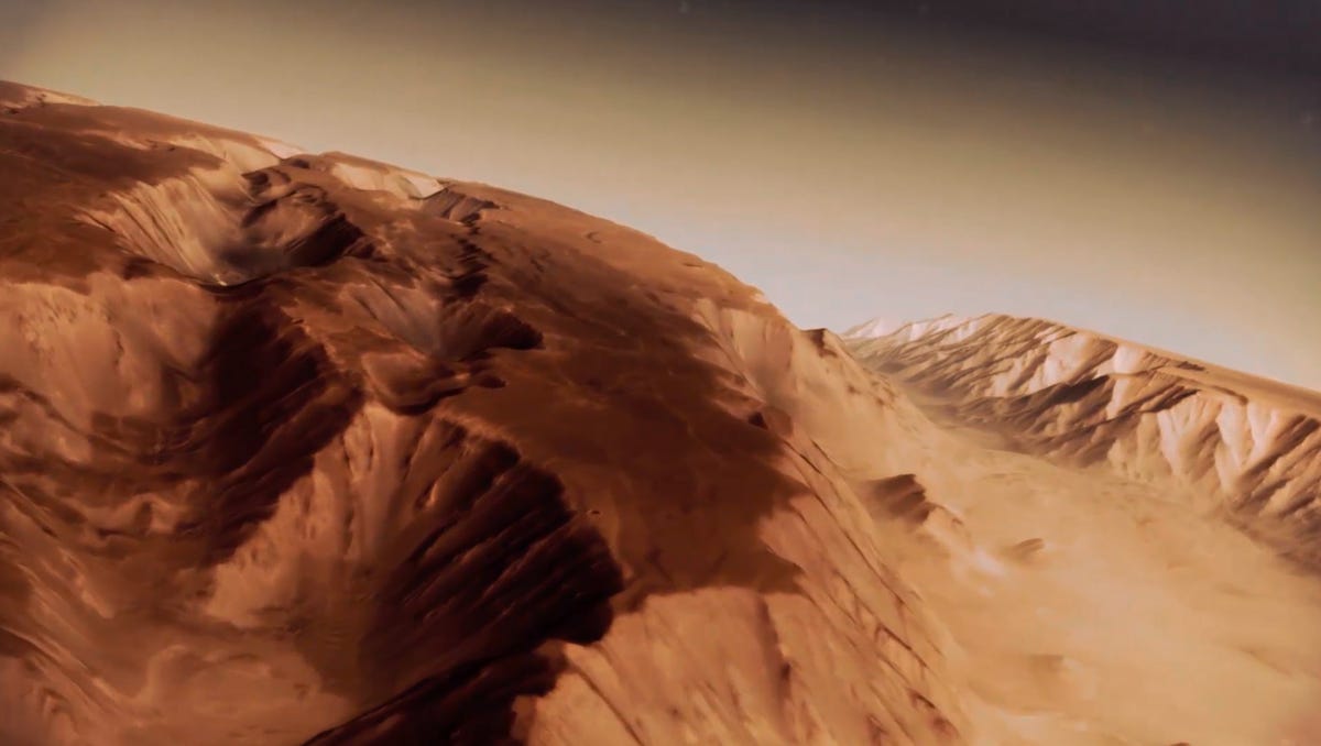
9 of 9 ESA / DLR / FU Berlin (G. Neukum)
Peaks along mountain range
The journey over the planet shows the dynamic contrast of the Martian surface, showing the vast valleys, steep peaks, and wide canyons.