Google Maps Is Adding a 3D 'Immersive View' That's Like Flying a Drone From Afar
The new feature, introduced at Google I/O 2022, gives a rotating 3D view of cities from the air, with live traffic and weather.


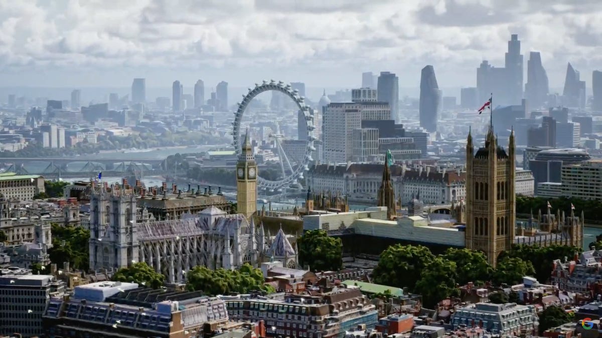
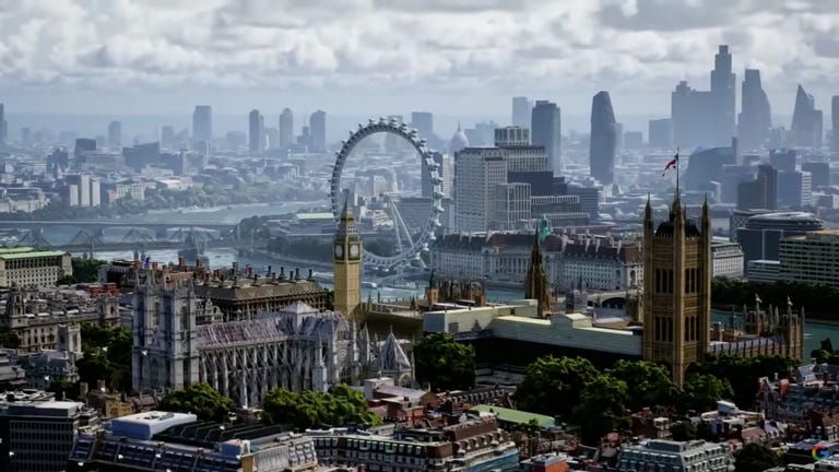
3D Live View of London in Google Maps as shown at Google I/O 2022.
At the Google I/O 2022 keynote, CEO Sundar Pichai debuted a new feature coming to Google Maps that gives users a drone-level aerial view of cities, offering a helpful middle ground between satellite and street views.
Immersive View, as the new mode is called, uses "billions of photos" to model buildings and trees in 3D using machine learning. The new view lets users understand a city's topography, rotate their perspective to look between buildings, and see traffic and weather conditions at different times of day.
See also
Immersive View also gives 3D looks into nearby restaurants, allowing users to scan around and rotate their view to get a get a better look at the layout, which may be important for those still cautious about eating indoors.
Immersive View is created from neural rendering based on photos alone and is streamed from Google Cloud, so it will run on any smartphone or device. The new view will start rolling out in Google Maps for Los Angeles, London, New York, San Francisco and Tokyo later this year with more cities added soon, per an official blog post.