Google Maps Street View celebrates its 10th birthday
The from-the-street view, and those 360-degree camera vans, have been around for a decade.


- Author of the award-winning, NY Times-reviewed nonfiction book The Tetris Effect; Longtime consumer technology expert for CBS Mornings
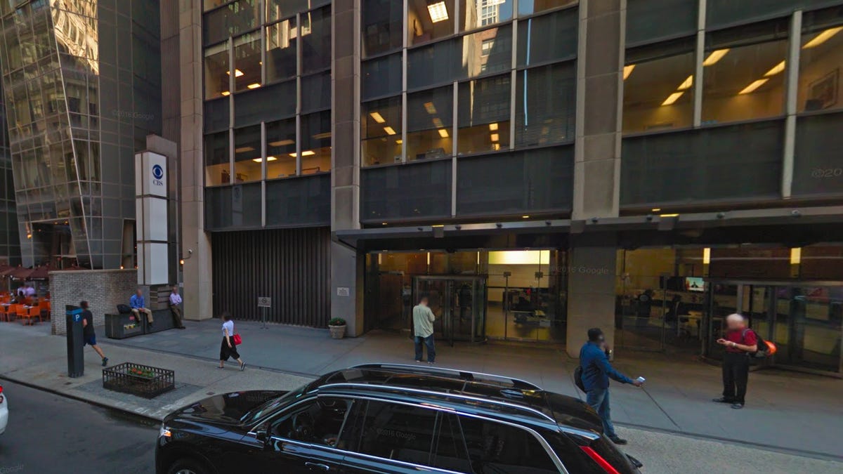
A Google Maps Street View shot of CNET's New York office.
Google published its first Street View images on Google Maps back in May 2007, making this the 10th anniversary of that important feature.
Since then, Google says in a celebratory blog post Tuesday, the company has published Street View images of 83 countries, and its mapping vans , equipped with 360-degree cameras, have covered 10 million miles.
"Larry [Page] kicked off the first prototype in 2004 with a team of Googlers who were passionate about his idea to create a 360-degree view of the world. They tossed cameras on a van, added some lasers (OK, maybe it was a bit more complicated than that), and the first Street View car was born. In 2006, Street View officially hit the roads in a few cities across the US and the first imagery was published in May 2007."
Street View adds street-level 360-degree photos to major streets, allowing people searching via Google Maps to see a (sometimes out-of-date) view of their destination, which is especially useful for spotting stores and restaurants in an unfamiliar area. For areas where the Street View vans can't go, Google added the Street View Trekker a few years ago, building a 360-degree camera into a backpack.
In its 10th anniversary post, Google highlights some of the company's favorite street view shots, which you can see here.