Millions of Americans still can't get broadband. Here’s a potential fix
A telecom trade group wants to better map out internet dead spots. But skeptics wonder if ISPs can be relied upon to provide accurate info.


In these politically divisive times, there's at least one thing lawmakers on both sides of the aisle can agree on: The way we track who in America does or doesn't have broadband stinks.
The Federal Communications Commission uses maps that are often wildly inaccurate, stating there's broadband service in places where there isn't and in other instances saying a location has no broadband when in fact it does, sometimes from multiple providers.
Read: Best internet providers in 2019
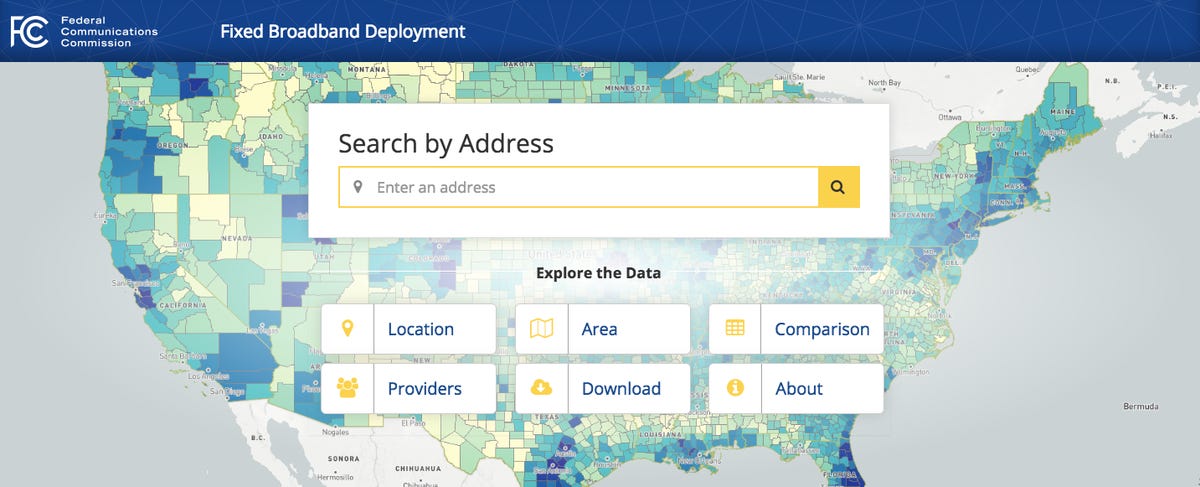
The FCC's national broadband map has been widely criticized as inaccurate.
These faulty maps don't just rankle lawmakers who are flooded with complaints from constituents. The lack of visibility means 19 million people in this country still lack broadband access at a time when the service is considered as important as water or electricity.
USTelecom, an industry group representing carriers like AT&T, CenturyLink and others serving rural America, says it may have the fix that will provide far more granularity in the data than ever before. It unveiled the details to CNET.
The trade group will announce Thursday that it's joined with other telecom industry groups, including WISPA, which represents fixed wireless providers, and ITTA, which represents smaller rural carriers, to pilot a new mapping program in two states: Virginia and Missouri. They say the program will lead to the creation of a better, more accurate nationwide broadband deployment map.
The group has gotten some key support. FCC Chairman Ajit Pai is expected to attend an event later Thursday unveiling the plans for the pilot program.
"If policymakers are serious about permanently closing the digital divide and extending broadband to our hardest-to-reach communities, a comprehensive approach that maps every home and business -- with an exact geographic location – across the country is necessary," Jonathan Spalter, president and CEO of USTelecom, said in an op-ed published by CNET on Thursday ahead of the announcement.
If USTelecom can deliver on its promises, it would be an important step forward in helping policy makers get accurate information to close the digital divide. This is especially true for programs targeting rural America, where more than $4 billion is spent every year to subsidize companies offering broadband in the least accessible and most expensive places to operate.
Yet nearly 40 percent of rural Americans lack access, according to the FCC.
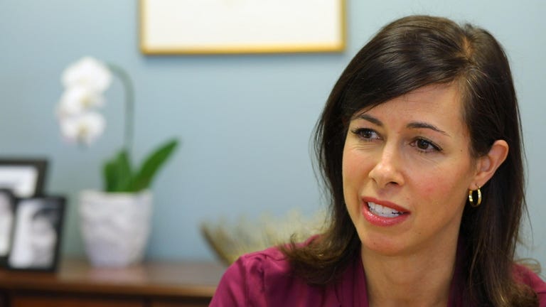
"We cannot manage what we do not measure," FCC Commissioner Jessica Rosenworcel, who has been at the forefront in highlighting this issue, said in a speech at the Pew Research Center in December. "If we don't have proper maps, we will not be able to target policy solutions effectively."
While USTelecom's plan sounds good on paper, there are skeptics who worry that solely depending on a plan crafted by the broadband industry will always be inherently flawed. After all, the model relies on those carriers to report where they're offering service, which has proven to be inaccurate in the past.
NCTA, which represents the cable industry, also worries that USTelecom's pilot program and the plan may merely be used to stall FCC action on a competing proposal from the cable industry. That proposal would also provide more granular information on where service is and isn't, but wouldn't reach the specificity that USTelecom is proposing.
"NCTA agrees that there is a need for better broadband maps," Brian Dietz, a spokesman for the group, said in a statement. "While we look forward to seeing the results of USTelecom's pilot project in gathering data regarding unserved locations, the FCC should not delay consideration and adoption of NCTA's proposal while it awaits the outcome of that experiment."
The problem
Building networks in rural America is incredibly expensive, and in some places it's nearly impossible due to tough terrain or inclement weather. But the biggest barrier is low population density in rural areas. Broadband providers simply won't offer service if they can't get enough customers to pay for it.
That's where the more than $4.6 billion in government subsidies comes in. Maps that sketch out where broadband is and isn't available are used to figure out who gets the money. Because every dollar counts, the FCC must ensure it's targeting areas that need service but not subsidizing network build-outs in areas that already have coverage.
"If an area is so costly that one provider can't serve it effectively and needs government subsidies, then two networks aren't going to be sustainable because neither one will be able to get enough customers," said Jeffrey Lanning, vice president of federal regulatory affairs for CenturyLink.
In 2018, the FCC announced that after more than three years, it had updated its National Broadband Map. But there are still serious flaws.
In an FCC oversight Senate hearing in August, Democrats and Republicans slammed the FCC for producing inaccurate maps. Sen. Jon Tester, a Democrat from Montana, was the most succinct.
"They stink," he said.
Why are the maps so bad?
The FCC builds its coverage maps using data that ISPs report twice a year in what's called Form 477. There are two main problems with this report. First, all the data collected is self-reported from the carriers. Just last week, a carrier that erroneously overstated its coverage skewed the FCC's draft report on broadband deployment, which exaggerated progress in closing the digital divide.
What's more, the speeds reported are advertised maximum speeds and not actual everyday speeds. Pricing data is also kept confidential, which means broadband speeds may be available but at very high rates.
But the bigger problem, which the USTelecom plan is trying to solve, is that the reporting is based on census block reporting, which looks at the smallest geographic area used by the US Census Bureau. If service is available in one part of a census block, the entire block is considered to have broadband. In rural areas, that home may be the only place with internet service for miles around.
"Form 477 just creates this wildly distorted image of a competition in broadband that's nonexistent," said Christopher Ali, an assistant professor in the University of Virginia's Department of Media Studies and a former FCC employee who's writing a book about rural broadband policy.
The fix
The FCC recognizes the deficits and has opened a proceeding to consider how to improve or replace Form 477.
USTelecom's mapping proposal identifies any home, office or other building where broadband could be offered, and then it asks carriers to identify which of those locations they are servicing or could service. But getting that granular of a view isn't easy, especially in rural areas, says Mike Saperstein, vice president of law and policy for USTelecom.
The problem is there's no single database that maps every serviceable location in the US. Postal addresses offer an incomplete view since many people living on tribal lands or other rural areas use post office box addresses rather than street addresses. Even if someone has a physical mailing address, the mailbox may be a mile down the driveway from the house, where service is actually needed. There are similar holes in tax or property records.
To bridge this gap, USTelecom is working with CostQuest, a firm that's developed maps for several of the FCC's subsidy programs, to create a database of mapped locations that takes input from several different sources.
The company uses satellite mapping technology to build a spatial geographic map to identify physical buildings. Then it takes input from other databases to figure out what structures may actually require broadband service.
"This gives us a good starting point of potential serviceable structures, such as businesses or homes," said James Stegeman, president and CEO of CostQuest. "Then we use the other data to clean out the clutter to figure out if what we're seeing is a barn or a chicken coop or even a townhome with multiple residences."
The pilot program will get underway next week in Missouri and Virginia. It's expected to run for about two or three months. The hope is to add other states and eventually go nationwide with the database and map. While USTelecom and its consortium of trade groups is commissioning the pilot for now and paying for it, the intention is that the FCC will take it over and replace Form 477.
Skepticism remains
Kevin Taglang, executive editor at the Benton Foundation, a public interest group, said he thinks the level of granularity that USTelecom hopes to achieve would go a long way in making the maps more accurate. But he's surprised that the proposal has come from the telecom industry, which he says has traditionally resisted reporting such specific data.
Still, if the pilot is successful and produces more accurate maps, Taglang said he's open to it.
"I'm skeptical," he said. "But if it's a great idea, it's a great idea. It doesn't matter where it comes from, but until I see the details I can't really comment."
Ali said he'll be looking closely at the methodology and results of the pilot. He pointed out that the plan still relies on self-reported data. He'd rather see the FCC independently gather and verify data.
But he said that even with this flaw, if the pilot is successful it still could produce better results than what's available today.
"More information is never a bad thing," he said. "So if they can add a layer of granularity, it's better than what we have now, which is abhorrent."