Hike the Grand Canyon via Google Maps
Google Maps now lets you virtually trek through more than 75 miles worth of trails and roads in the Grand Canyon.


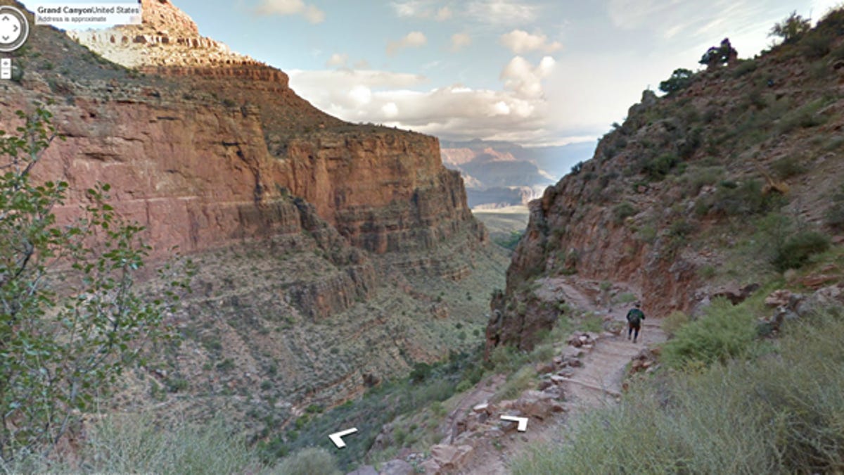
You can now explore the Grand Canyon without even being there.
Thanks to Google Maps, panoramic images of the famed canyon went online today, displaying more than 75 miles worth of trails and surrounding roads.
Just by moving your mouse or swiping your finger, you can wend your way through any of the trails to marvel at some of the amazing images captured by the Google Maps team. One view guides you along the Blue Angel Trail, another takes you past the Colorado River, and a third pops you a couple of hours away to gaze at Meteor Crater.
The images were collected by the Google Maps team with help from "Trekker," a wearable backpack with a camera system that can capture 360-degrees of the surrounding view. Controlled via an Android smartphone, Trekker gets the job done through 15 5-megapixel camera lenses and a battery that can last the whole day.
Still, the trek wasn't easy for the team. As described in a Google Maps blog posted earlier today, the Trekker backpack weighs 40 pounds, and the temperatures in the canyon vary wildly. But a few muscle cramps later, and the team was able to capture more than 9,500 panoramic photos of the canyon for all of us to enjoy.