Saving California's coastline using pics from drones, phones
Scientists from the Nature Conservancy are using crowdsourced smartphone and drone imagery to track coastal erosion from El Nino.


- Webby Award honoree, 2x Gold Telly Award winner
War. Surveillance. Killer robots. Drones often come with these negative connotations.
But photographer Eric Cheng wants that to change.
"A lot of us who are drone enthusiasts or work in the profession are really interested in the idea of drones for good, the idea that drones are just a tool that you can do what you like with," he said.
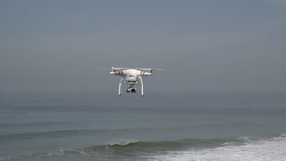
Cheng is one of many "citizen scientists" taking part in a coastal monitoring project with the Nature Conservancy to study the effects of El Nino on California's coastline. Rather than using satellite imagery, drone and phone photos crowdsourced from everyday users are the data source.
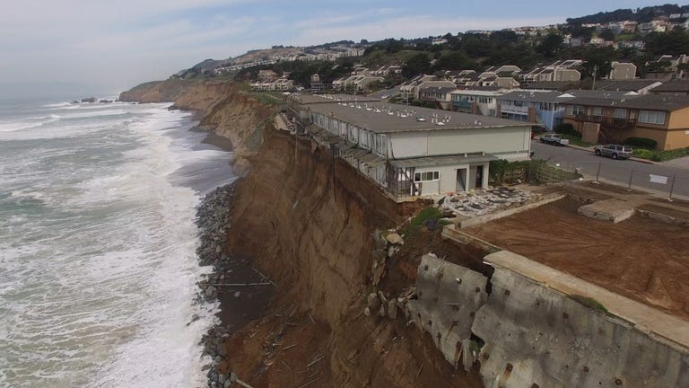
While the study is still in its infancy, scientists have already been able to use drone images to identify significant losses of coastline.
"We measured from some of the drone footage a 30-foot loss of the land here, just in the last couple of years," said Kirk Klausmeyer, climate change scientist with the Nature Conservancy.
Anyone with a smartphone or drone can submit geotagged images showing areas of California's coastline during storm and flooding events. Watch the video above to see the project in action, or watch our 360-degree video below for an immersive look at the coastline.
To find out more about the coastal monitoring project and for instructions on how to submit photos, visit the Nature Conservancy page.