Bomb cyclone looks like a beast from space
Weather satellites are keeping an eye on a massive storm shaping up in the US.


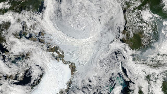
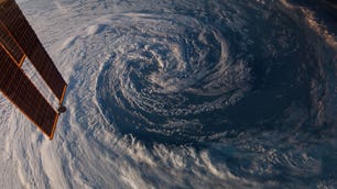
NOAA's GOES West satellite caught this view of the developing storm.
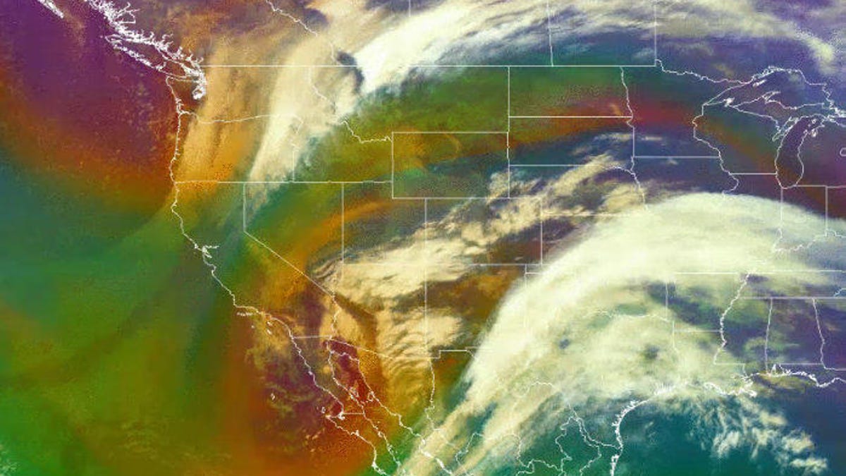
Heavy rains. Severe thunderstorms. Flooding. Snow. Blizzard conditions. High winds. That's the menu for a dramatic bomb cyclone weather system that's developing over the central US on Wednesday. Satellites are watching the crazy winter storm develop and it looks like a doozy.
The National Weather Service posted a GIF on Wednesday showing the system shaping up. "Travel will be treacherous in locations, and the combo of snow and wind will likely lead to power outages," the NWS warned.
An incredible storm system is taking shape in the central U.S. with blizzard conditions & high winds across several states. Travel will be treacherous in locations, and the combo of snow and wind will likely lead to power outages. Find your local office - https://t.co/NNXwXbQUSd pic.twitter.com/Yr6FAjFIzO
— NWS (@NWS) March 13, 2019
The National Oceanic and Atmospheric Administration shared the view from its GOES West weather-watching satellite.
#GOESWest is keeping a close watch over the major storm system that's expected to bring blizzard conditions to much of the central and northern Plains region. Find updates on the storm here: https://t.co/pWnalUMfH1 pic.twitter.com/eJ0jPtiOJ1
— NOAA Satellites (@NOAASatellites) March 13, 2019
The term "bomb cyclone" has plenty of dramatic flair, but it's a nickname for the tongue-tying weather term "bombogenesis." This basically refers to a storm that intensifies very rapidly over 24 hours. NOAA assures us "it's less scary than it sounds."
Colorado Public Radio created a handy site to determine whether or not the March storm qualifies as a bomb cyclone. The big-font answer is "YES."
The storm is set to rage across a wide swathe of the US, including Colorado, Wyoming, Nebraska and South Dakota. "Travel will be dangerous, if not impossible," the NWS says.
This storm is reminiscent of a bomb cyclone that hit the US East Coast in early 2018. If you're in the area impacted by the 2019 system, this would be a good day to hunker down and stay inside.