Watching traffic with Navteq
CNET Car Tech visits the Navteq SF Bay Area Traffic Operations Center.


Ever since the 1930s, drivers have listened for traffic information over the radio, but this century, traffic data is being revolutionized, offered on-demand and integrated visually with GPS navigation systems. We visited Navteq's SF Bay Area Traffic Operations Center to see how one company collects traffic data and sends it to GPS devices, smart phones, and the Internet.
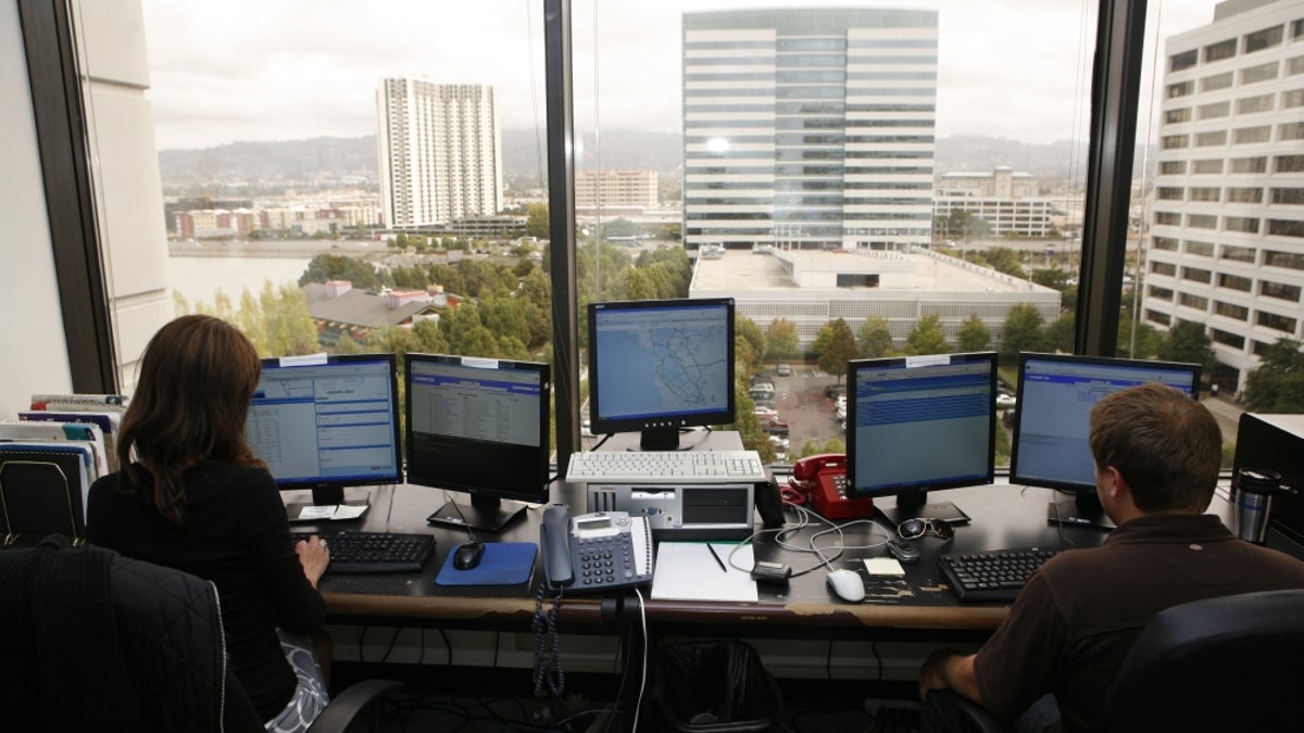
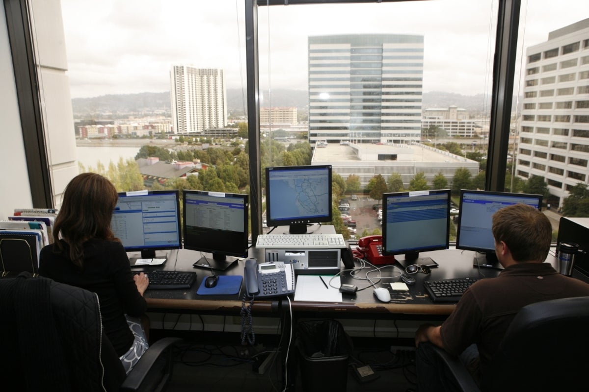
On the morning we visited the office, three staff members were on duty, compiling information for Navteq's Northern California traffic markets, which includes the San Francisco Bay Area, Sacramento, and as far down as Fresno. These staff members primarily fill in incident reports, as traffic flow information is compiled automatically. A traffic incident could be a collision, a disabled car, road construction, a baseball game, or anything else that affects traffic.
The primary source of incident information for the Traffic Operations Center comes from the California Highway Patrol, on a Web page anyone can use called the CHP Traffic Incident Information Page. As the Navteq staff reads each incident, they also listen to police scanners, which give them additional information, such as which lanes are blocked.
Other sources of incident information for the Traffic Operations Center are 911 call reports and traffic cameras. During our visit, a 911 report came in about a man picking up walnuts on the freeway, which was one of the stranger incidents the Navteq staff had to follow up on to see if it presaged a traffic problem. If a traffic camera has a view of an incident, the staff can more precisely determine how it will affect traffic flow, and for how long.
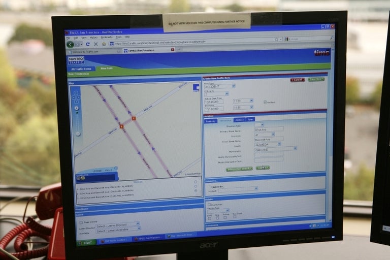
As each incident is received, the staff enters it into Navteq's Traffic Information Management System (TIMS), a Web-based app that lets the staff member select precisely which streets the incident affects and enter information such as which lanes are blocked and the severity. Data from TIMS then populates the maps of GPS devices so drivers can get the latest information about what to expect on the road ahead. The results of the the various Navteq Traffic Operations Centers around the country can be viewed at Traffic.com. The company also makes a free iPhone app available.
Traffic flow information is collected in each served urban area by the local traffic authority, CalTrans in the case of California, and supplemented by other sources, such as Navteq's traffic probes. The local staff at each Traffic Operations Center also gathers data on scheduled incidents, such as road construction and sporting events. These types of incidents can be entered into TIMS, scheduled to automatically appear in the system at the events start time.
Navteq isn't the only company collecting and sending out traffic information. Rivals include Inrix and Clear Channel's Total Traffic Network. But Navteq, which was bought by Nokia in 2007, is the only one that also creates the digital street maps used in navigation devices.