Navteq models European cities
Navteq announces the availability of 3D rendered maps of European cities.


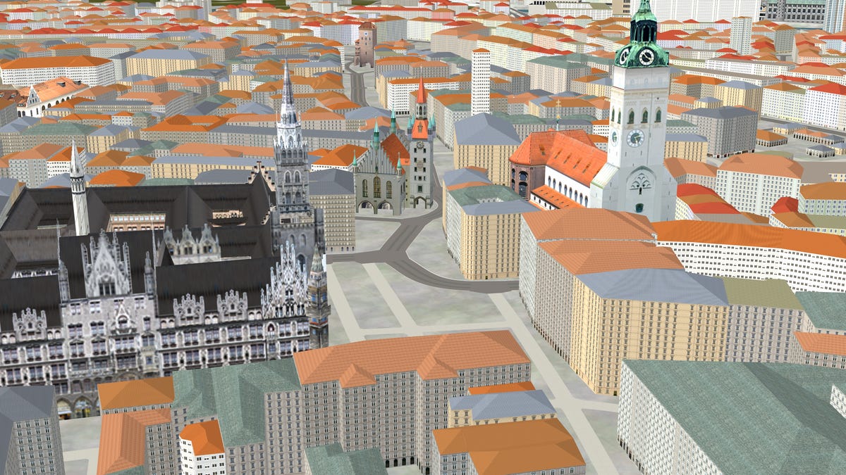
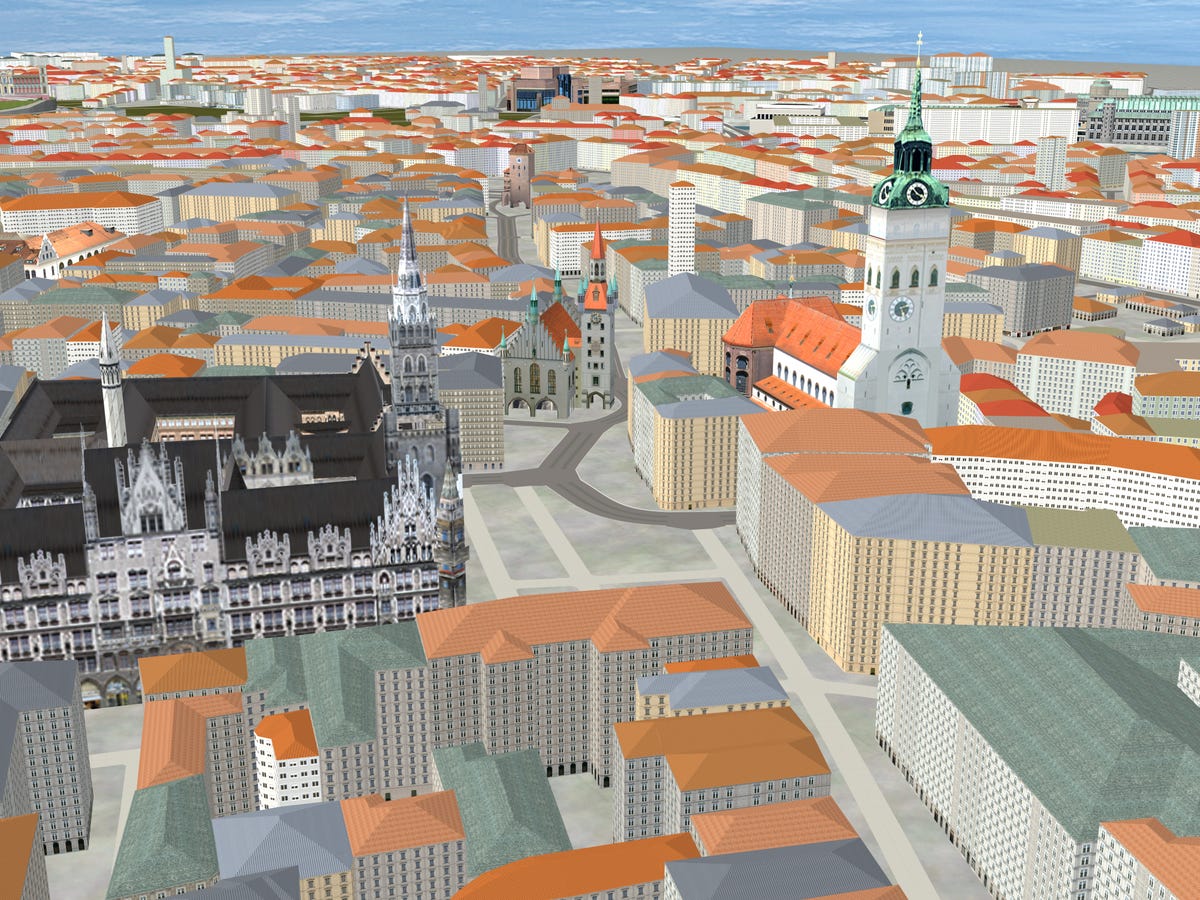

We've seen downtown San Francisco in virtual 3D glory on the navigation systems in cars from Audi, BMW, and Mercedes-Benz. Navteq, which provides the maps for many of the worlds GPS navigation devices, is extending this technology to Europe. The company announced 3D maps for European cities, complete with texturing for landmark buildings.
Currently, these 3D maps are available for Western European cities. Navteq is expanding coverage to Eastern Europe.
In a navigation device, Navteq's technology allows for building models to become transparent when they would get in the way of route guidance or destination searches.
Navteq's maps are used by most major automakers, along with both Magellan and Garmin.