Apple may be building a drone fleet to help improve its maps
Flying drones around would certainly be an easier way of seeing the ground than using cars is, according to Bloomberg report on Apple's plans.


- Shortlisted for British Photography Awards 2022, Commended in Landscape Photographer of the Year 2022
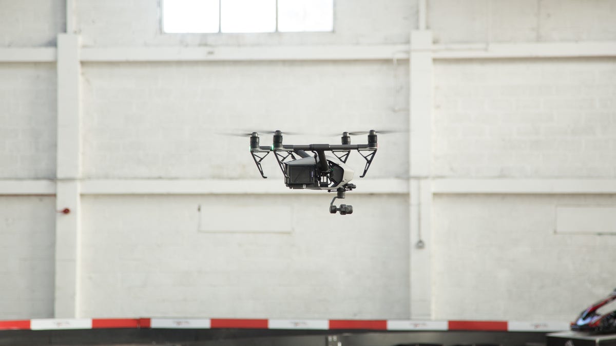
Apple is reportedly putting together a fleet of drones to take to the skies in order to improve its Maps service, Bloomberg reported.
The drones will be used to examine street signs, track changes in road layouts and update the database with areas of construction, Bloomberg's source explained. Using drones to track the changes in the landscape would produce faster results than using cars fitted with cameras and sensors, which is how the company currently updates its service.
Apple is also said to have been granted approval to fly drones for commercial purposes by the US Federal Aviation Administration, and has reportedly hired at least one person from Amazon's drone delivery service Prime Air.