New satellite photos will detail your world view
DigitalGlobe's new satellite just sent down its first image of our planet. Your Google Maps view of the world is about to get better.


- Shankland covered the tech industry for more than 25 years and was a science writer for five years before that. He has deep expertise in microprocessors, digital photography, computer hardware and software, internet standards, web technology, and more.
Your view of the world through Google Maps is about to get a little better as a new satellite starts beaming down imagery of our planet.
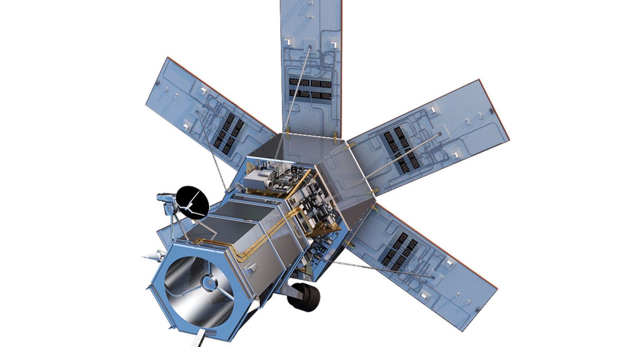
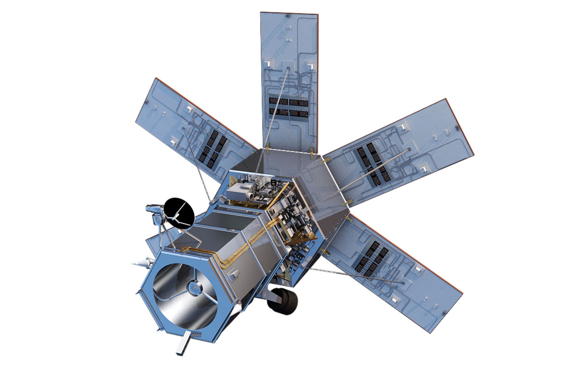
DigitalGlobe, which supplies imagery to Google Maps and several other customers, has begun gathering data from the new WorldView-4 satellite the company launched on November 11. Its first public image, taken on November 26, is of Japan's Yoyogi National Gymnasium in Shibuya, Tokyo.
Satellite imagery, once only affordable to military and intelligence agencies with huge budgets and a powerful desire to peer at world affairs, now has become a relatively routine part of industry. They can be used for everything from construction site planning to agriculture to scientific research. They can even help you figure out where you parked your car.
The new imagery uses have spurred new businesses. Where DigitalGlobe emphasizes high-resolution imagery, a rival called Planet Labs takes lower resolution photos -- but much more frequently, so customers can get a photo of anywhere on Earth that's only a day old.
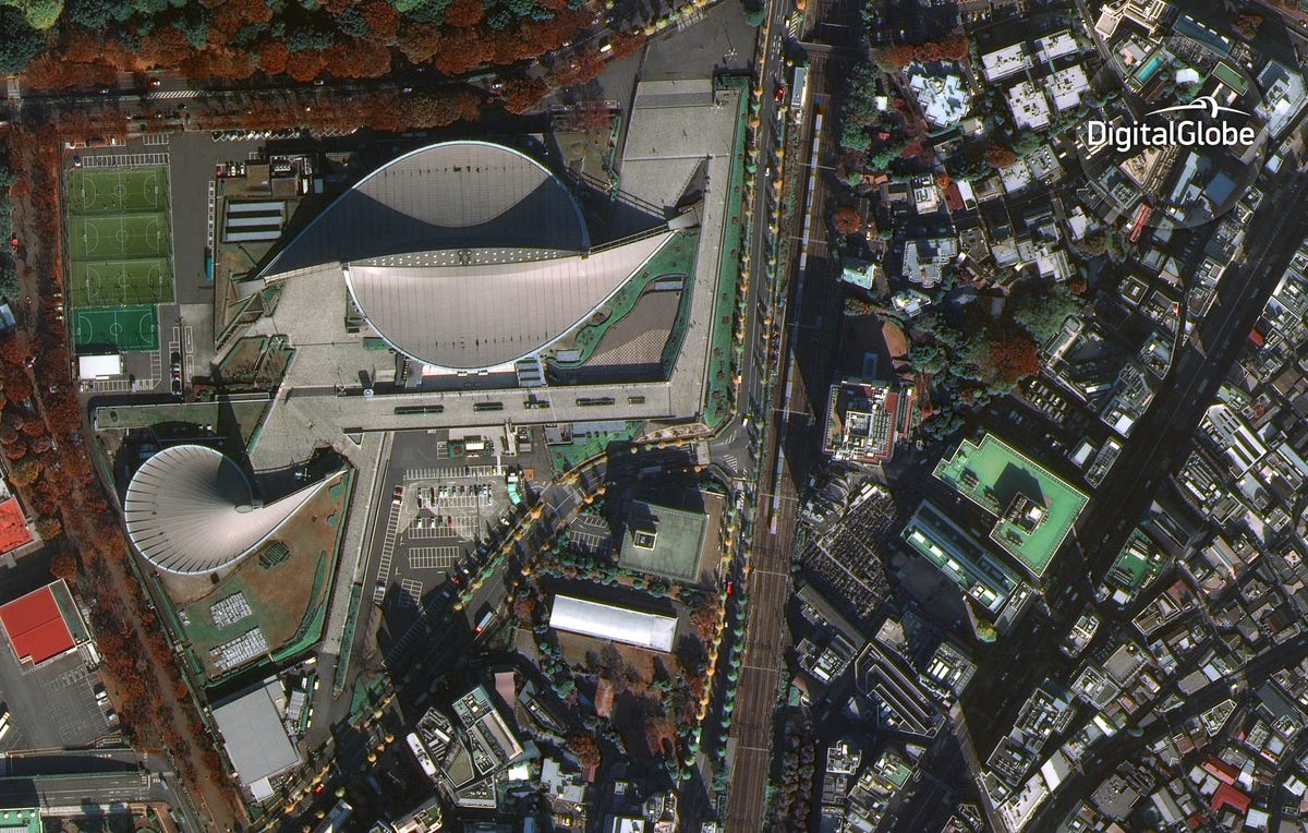

DigitalGlobe's WorldView-4 satellite's first image, taken November 26, shows Yoyogi National Gymnasium in Tokyo.
As you might imagine, the WorldView-4 camera outclasses not just your smartphone but also mammoth telephoto lenses you'll see wildlife photographers carrying around. The SpaceView 110 camera, built by a defense, aerospace and communications company called Harris, has a mass of 550 kilograms -- about the same as six professional wrestlers.
The SpaceView 110 camera magnifies its subjects with a mirror-based design more like a big telescope than a telephoto lens with lots of glass elements. It's precise enough to capture details measuring 0.31m -- about a foot across -- from the satellite's orbit 617 kilometers above the Earth's surface.
But sites like Google Maps and Bing Maps, with free satellite imagery on phone apps or the web, don't get access to the most detailed imagery. Other customers of satellite imagery include Microsoft , Apple and Facebook. Not everyone uses satellite photos, though: Google and Microsoft both have used aerial photos taken from an airplane, a method that offers higher resolution and lower costs even if it can't cover as much of the Earth's surface.
The camera also can see more than the human eye. By gathering infrared light imagery, for example, the DigitalGlobe satellite can help firefighters peer through smoke to pinpoint wildfire hotspots and help farmers detect detailed changes in plant leaves, the company said.
Notably, the WorldView-4 doesn't have to wait for a subject to slide beneath it in orbit before photographing it. The satellite can use gyroscopes to "slew," or point one way or another. It can move pretty fast, too, redirecting its view from Los Angeles to Las Vegas in about 20 seconds, the company said.
And it gathers an awful lot of data. WorldView-4 can photograph 680,000 square kilometers per day -- about half the area of the United States.
First published December 2, 1:16 p.m. PT.
Update, 3:56 p.m.: Adds further details from DigitalGlobe.