Startup Banjo looks to help you connect with folks in real world
Banjo announces major updates to its mobile social-discovery app, which rounds up location data for various social-media services so users can connect with nearby friends.


Imagine this scenario: You're on a business trip in another city, where you just wrapped up your last meeting of the day in a coffee shop. Since you're a proper digital nomad, you fire off a tweet announcing that you're done for the day and ready to grab a drink.
Meanwhile, an old friend from college updates his Facebook status to say he's just arrived at a bar (a few blocks away) where he's meeting friends. Like your tweet, his status is embedded with a geographic tag (geotag), signaling the location of the message. If you're not paying attention to Facebook, and specifically looking at his status, it's probable you'll miss the fact that your friend is nearby.
Banjo wants to put an end to these missed connections, and today, the social-discovery startup released a complete overhaul of its mobile app. The app attempts to do this by collecting the geo data across all your social networks and displaying it across a proximal map. So if your friends have supplied geo data to Facebook, Twitter, Foursquare, or Instagram, you'll know who's nearby and have the opportunity to connect.
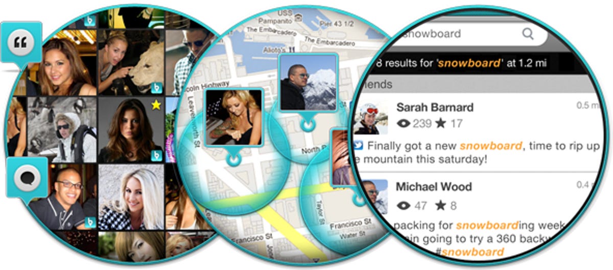
Banjo also aggregates publicly available geotagged posts, to create opportunities to meet new people. Consider once again the situation above, but this time no old friends are in your vicinity. Rather than simply heading toward a clump of Foursquare checkins, you can map the surrounding area to see which location is most your speed.
Services like Sonar and Glancee have similar functionalities, but those apps a more limited in the ways that you can connect with people. Banjo 2.0 is available on iOS and Android, and I'm told the Android version will be updated in the immediate future.