See a whole year of wild Earth weather in one mesmerizing space video
From Atlantic hurricanes to swirling clouds, satellites witnessed the weather wildness of 2020.


Last year was one for the record books as the Atlantic hurricane season turned out major storm after major storm. There were massive wildfires and flooding and extreme weather events across the globe. You can relive the entire year of weather in a single 10-minute video snapshot.
The European Organisation for the Exploitation of Meteorological Satellites, aka Eumetsat, combined its own satellite images with contributions from the China Meteorological Administration, the Japan Meteorological Agency and the National Oceanic and Atmospheric Administration to create the mesmerizing video.
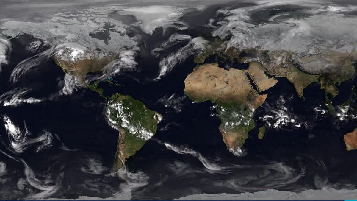
It's easy to get lost in the swirls of clouds moving over the planet, but Eumetsat also labeled the major 2020 storms for a sobering reminder of just how active hurricane season was, particularly in the Atlantic. The storm tags are colored in a range from light yellow to red depending on intensity. Last year may not be an aberration. Scientists are studying the role climate change might play in this trend.
The video is a stunning way to visualize how weather works on a global scale. Patterns emerge as clouds dip and curve over landmasses. You can stop on a particular day and reminisce about the weather at your location.
Eumetsat's global Year of Weather videos are an annual event, so you can go back and revisit previous years at least as far back as 2013. Each one is a time capsule of clouds and cyclones, a story of rain and snow and clear skies, and a reminder of how weather connects the corners of the globe.
Follow CNET's 2021 Space Calendar to stay up to date with all the latest space news this year. You can even add it to your own Google Calendar.