Hurricane Humberto shows off titanic 'tail' in NASA image
Humberto is really stretching out across the Atlantic as it eyes Bermuda.


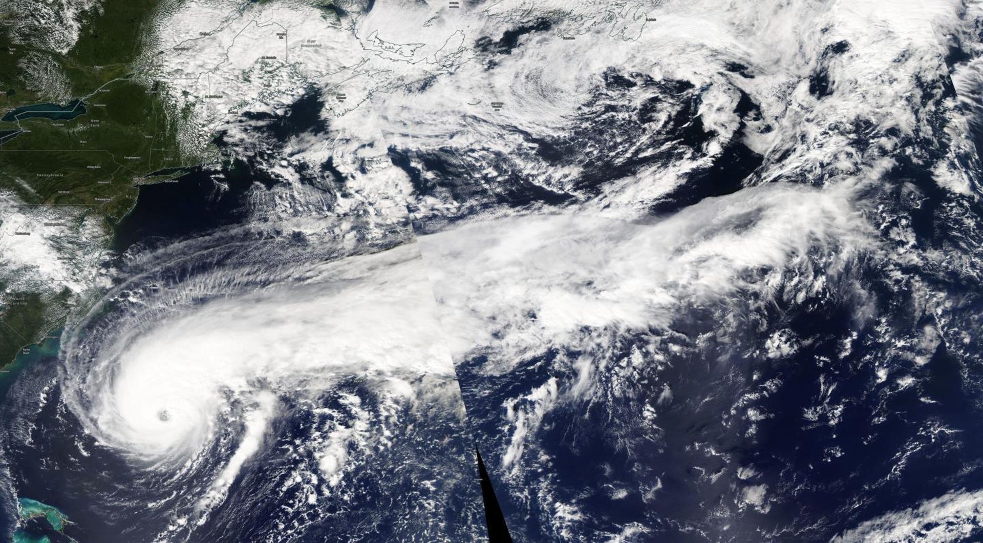
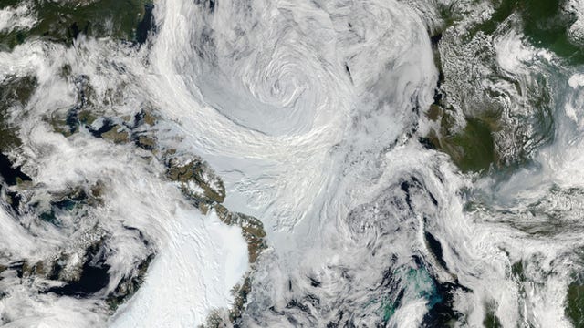
Hurricanes can be about more than just their infamous swirling center sections. Sometimes they bring long lines of thunderstorms along for the ride. NASA's Aqua satellite took an eye-opening look at Hurricane Humberto in the Atlantic and spotted a tremendous storm "tail" stretching out to the east.
Aqua captured the view on Wednesday. "Humberto is such a large storm that the Aqua satellite had to make two Earth orbits to capture the entire storm," NASA said in a release. The eye of the hurricane was located about 500 miles (800 kilometers) from Bermuda at the time, but its tail stretched past eastern Canada.
The National Hurricane Center said the storm is expected to bring "deteriorating weather conditions to Bermuda" later on Wednesday.
8 AM AST: #Humberto is expected to bring deteriorating weather conditions to Bermuda later today. For the latest see https://t.co/tW4KeFW0gB and the Bermuda Weather Service at https://t.co/JRXVMmsO6u pic.twitter.com/yyp4KiNUEk
— National Hurricane Center (@NHC_Atlantic) September 18, 2019
Humberto is currently packing maximum sustained winds near 120 mph (193 kph), which places it as a category 3 storm. It's the latest in a lineup of storms, including deadly Hurricane Dorian, that have swirled through the Atlantic during the 2019 hurricane season.
Humberto stands out for the sheer size of its thunderstorm tail, which gives us plenty to gawk at from the space perspective.