Tapping Earth's magnetic field for indoor navigation
Finnish company says new navigation technique was inspired by the way animals use the field to navigate their environs.


While outdoor navigation has been mastered with GPS satellites and cell phone triangulation, indoor navigation has proven more tricky.
Now, a group of researchers at the University of Oulu in Finland has tapped the Earth's magnetic field to create an indoor positioning system (IPS). The researchers say their approach was inspired by studying the way homing pigeons and lobsters use anomalies in the magnetic field to navigate their travels.
Researchers explain in a paper (PDF) -- titled "Ambient magnetic field-based indoor location technology / Bringing the compass to the next level" -- that the same magnetic field that proves so useful to animals also has true navigation applications for humans.
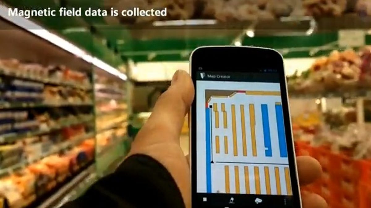
"Modern buildings with reinforced concrete and steel structures have unique, spatially-varying ambient magnetic fields that can be used for positioning, in much the same way (albeit on a much smaller spatial scale) as animals use the Earth's magnetic field," the paper's authors say. "In principle, a non-uniform ambient magnetic field produces different magnetic observations, depending on the path taken through it."
"Each building, floor and corridor creates a distinct magnetic field disturbance that can be measured to identify a location and generate a map," Janne Haverinen, who headed the research team, said in a statement. "When iPhone and Android phones arrived with built-in compasses, we realized that we could develop an innovative indoor navigation solution by applying our digital signal-processing expertise."
The core technology, which requires no external hardware infrastructures to operate, is accurate down to a tenth of a meter, researcher say.
Researchers, who have spun off their effort into a new company called IndoorAtlas, have released an smartphone API consisting of indoor mapping tools, software licenses, and a cloud-based mapping service.