NASA Set to Launch GOES-T Climate Monitoring Satellite
NASA's new GOES-T satellite will provide crucial climate data up and down the west coast of North and Central America.


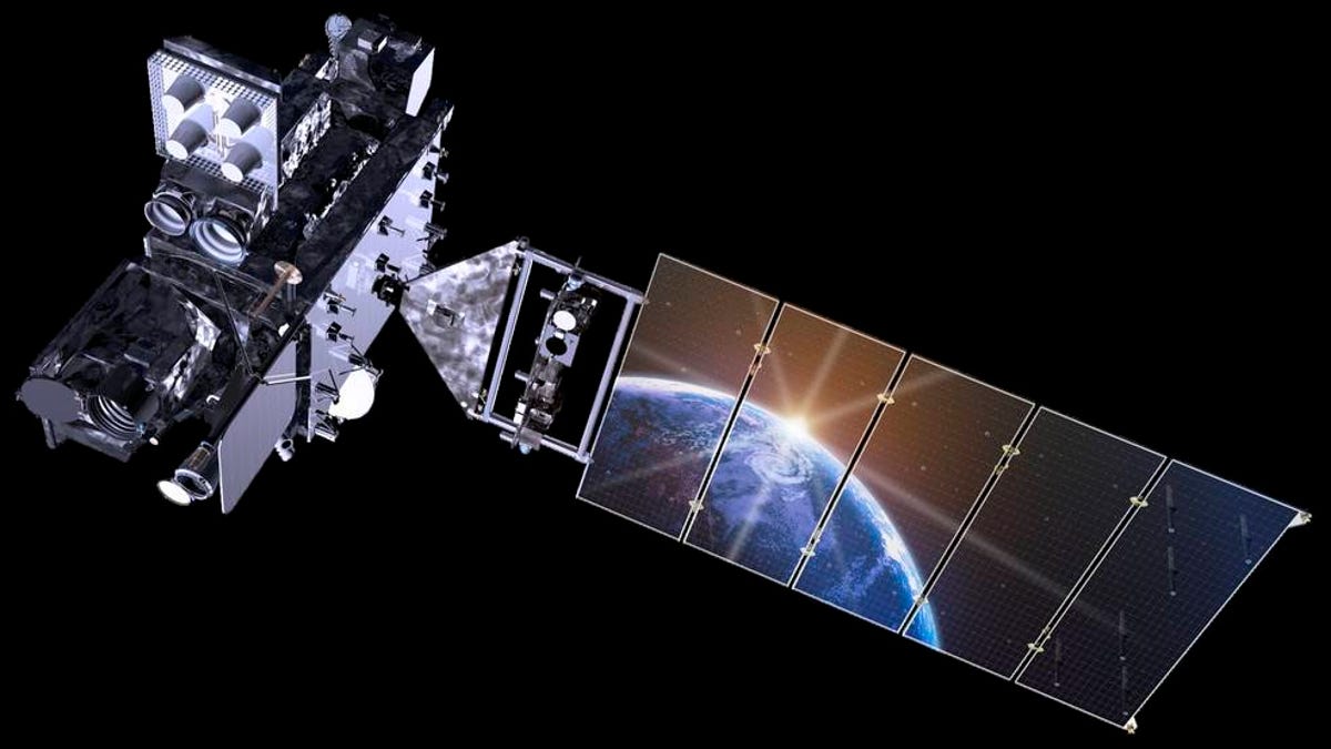
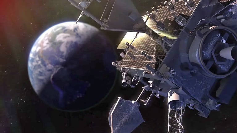
An illustration of the GOES-T spacecraft, the third satellite in NOAA's Geostationary Operational Environmental Satellites series.
The National Oceanic and Atmospheric Administration's latest weather and climate monitoring satellite, GOES-T, is set for a NASA-supported launch from Cape Canaveral on Tuesday evening. The event comes four years to the day and nearly to the minute since NASA and NOAA launched the last Geostationary Operational Environmental Satellite, GOES-S, which GOES-T is replacing.
Like its predecessor, the GOES-T will operate as the GOES system's designated West satellite, providing critical weather and climate data for much of the Pacific Ocean and regions along its coasts, including the US West Coast, Hawaii, Mexico and Central America. It's also equipped to monitor out-of-this-world weather activity such as solar flares that could have an impact on communications and electronic devices on or above the Earth's surface.
Once GOES-T reaches its destination, it will change its name to GOES-18 and begin the job of collecting tons of data -- information with which experts can better understand climate change and identify the emergence, course and intensity of hurricanes, volcanic eruptions, wildfires and other hazardous weather occurrences. The satellite's instruments are so advanced that they can map lightning strikes from 22,000 miles above the Earth and identify ones that may pose the risk of starting a wildfire.
The satellite is now well out of reach, but CNET's Claire Reilly recently got a first-hand look at the satellite as it was under construction at Lockheed Martin's Denver facility. You can watch her experience in the video below.
NOAA did not immediately respond to a request for additional comment regarding the launch.