NASA scientists just flew through a fire cloud
A wildfire kicked up a blazing cloud and gave scientists a crazy view.


In these days of extreme wildfires across the globe, you may have witnessed the fire cloud phenomenon for yourself. These clouds occur when heat and moisture head upward from the fire and feed thunderstorms. NASA had the rare opportunity to fly a DC-8 right through one on Aug. 8.
NASA's plane is a flying laboratory stocked with data-collecting sensors. It carried a group of atmospheric scientists through a fire cloud, also known as a cumulonimbus flammagenitus or pyrocumulonimbus, in Washington state.
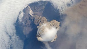
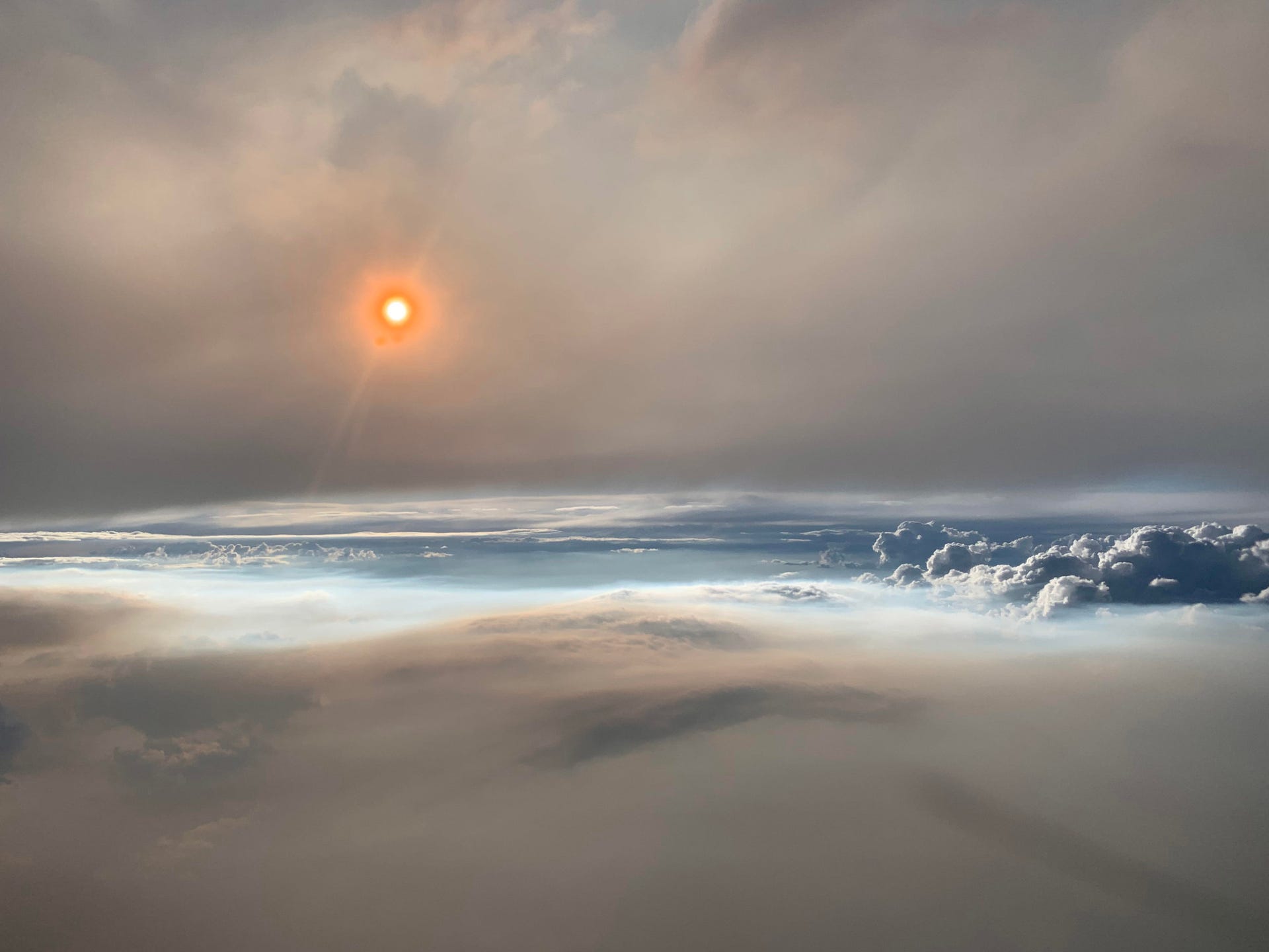
The visuals were wild. One image shows the sun glowing orange thanks to particles in the air. Another shows the puffy white cloud sitting on top of the gray smoke from the lightning-caused Williams Flats fire.

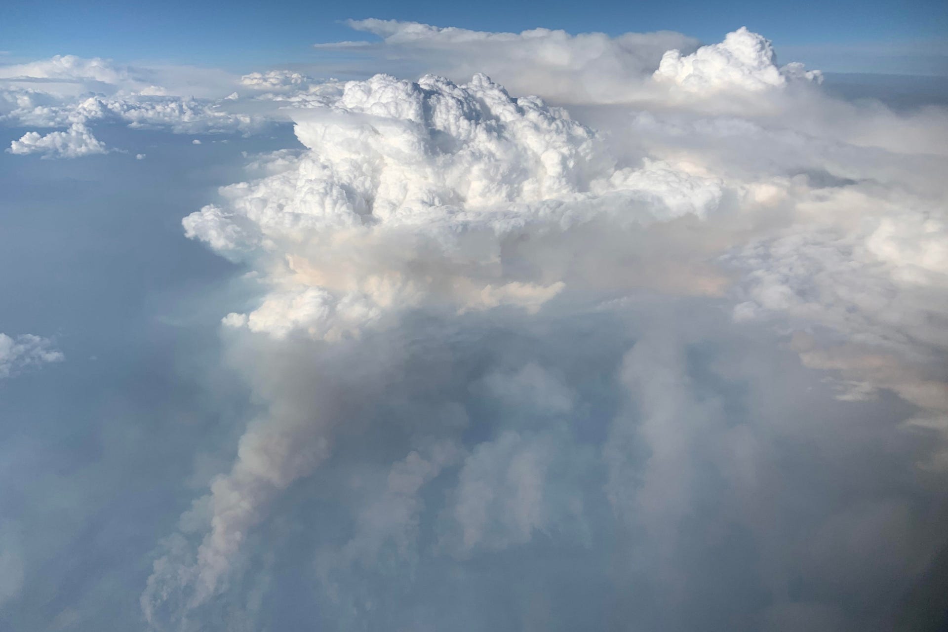
The pyrocumulonimbus cloud is white while the smoke from the fire below is gray.
The flight was part of a joint NASA and National Oceanic and Atmospheric Administration project called Firex-AQ (Fire Influence on Regional to Global Environments and Air Quality).
"Scientists are studying the composition and chemistry of smoke to better understand its impact on air quality and climate," NASA's Earth Observatory said on Tuesday.

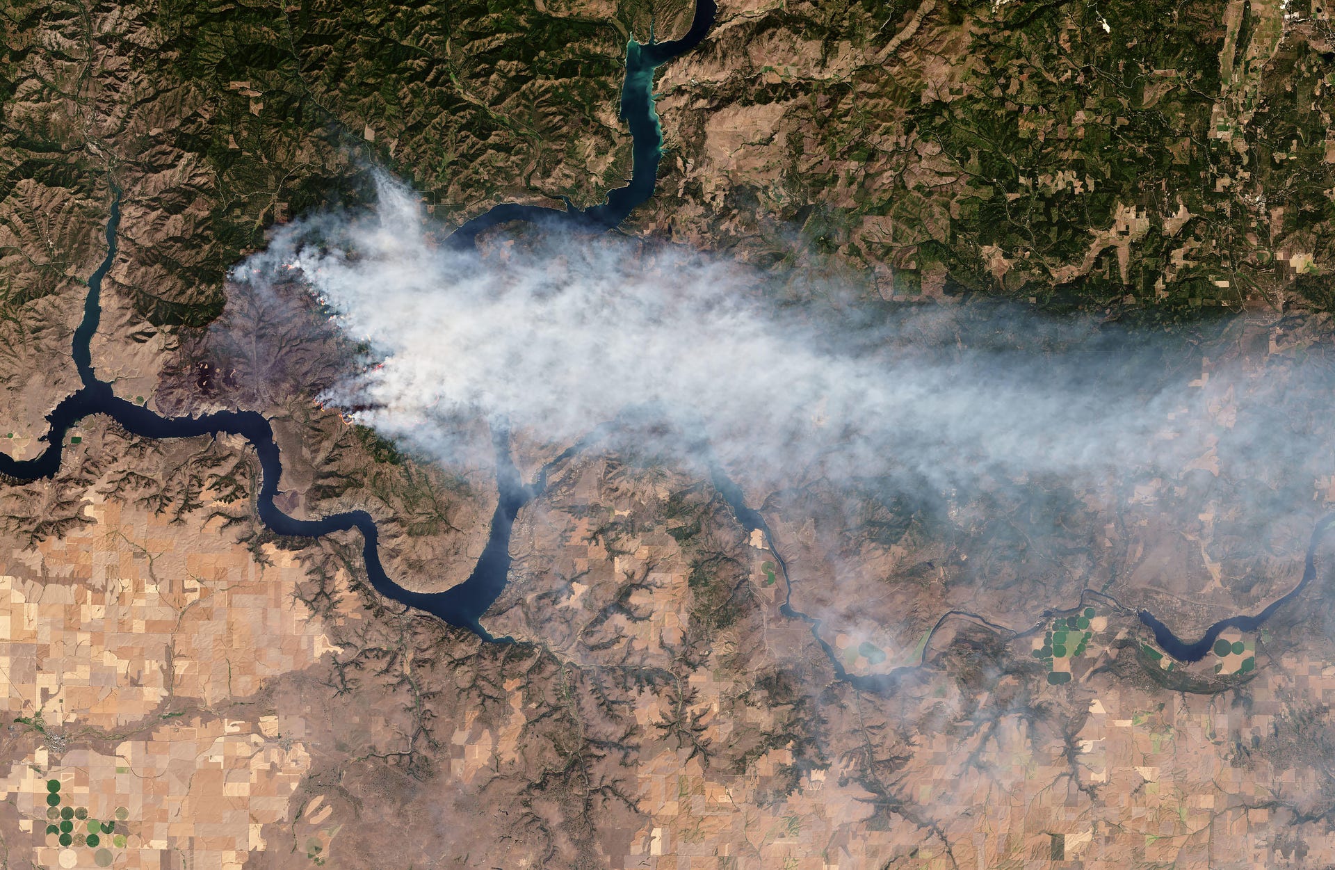
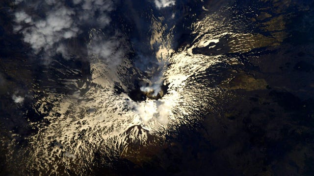
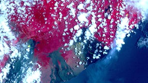
The Landsat 8 satellite got a look at the Williams Flats fire in Washington.
The researchers are interested in how clouds like this push smoke into the upper stratosphere, where it can spread and linger for long periods of time.
David Peterson, lead forecaster for Firex-AQ, described the flight as the most detailed sampling of a pyrocumulonimbus in history.
NASA and the United States Geological Survey's Landsat 8 satellite also witnessed the fire from orbit.
The Williams Flats fire is still burning and has consumed an estimated 45,000 acres. "Steep slopes, limited access and primitive roads conditions are hampering containment efforts," the National Wildfire Coordinating Group reported in an incident overview.
Extreme wildfire seasons are happening more often. "The total area burned by wildfires in the United States in a single year has exceeded 8 million acres only eight times since 1960 -- all have occurred since 2004," NASA and NOAA said.
We need all the data we can get as we deal with the air-quality impacts from these fiery disasters.