Google's new tool helps cities plant trees to combat the climate crisis
The tech giant is using AI and aerial imaging to figure out where we need more shade.


- I've been covering technology and mobile for 12 years, first as a telecommunications reporter and assistant editor at ZDNet in Australia, then as CNET's West Coast head of breaking news, and now in the Thought Leadership team.
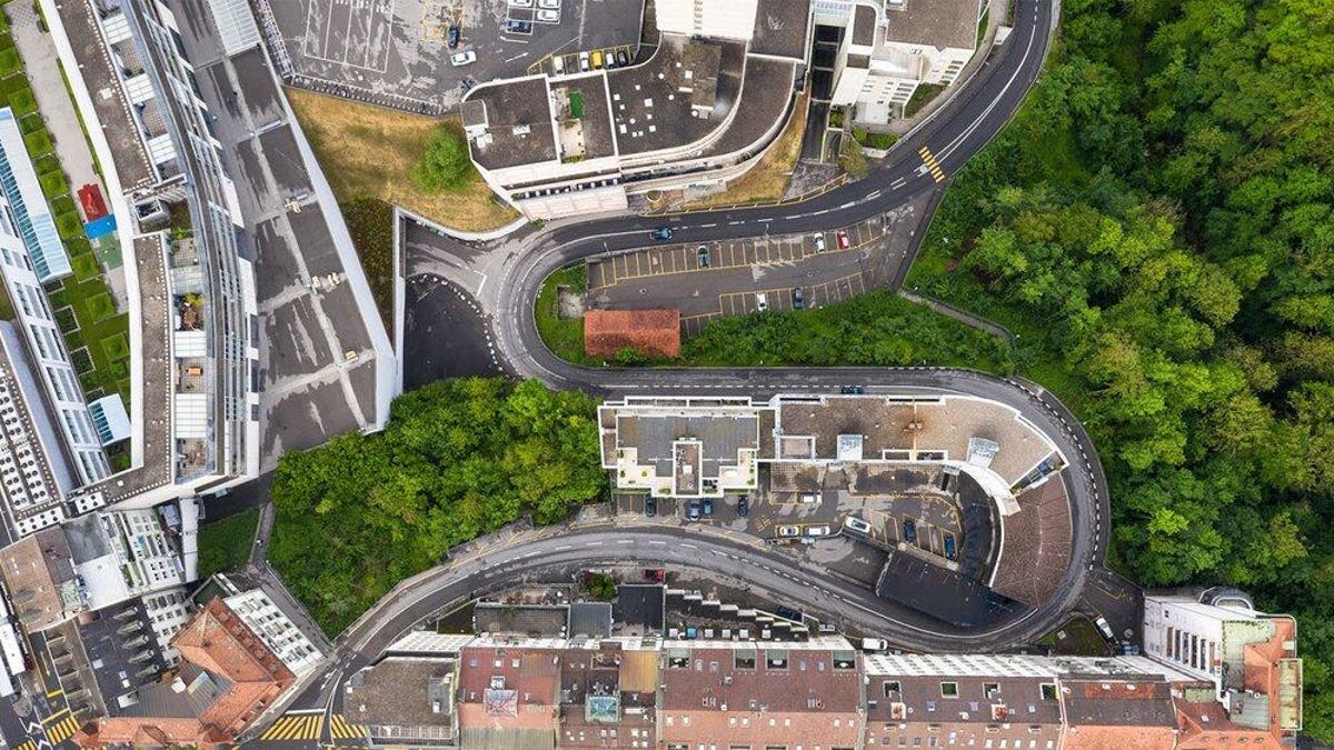
Google is scoping out tree coverage in Los Angeles.
Google is working on bringing more shade to help cool our cities as the climate crisis worsens. The new Tree Canopy Lab combines artificial intelligence and aerial imaging to help cities see where there are gaps in their tree coverage and tree planting projects. Cities will then know where to plant more trees, Google said.
The company is teaming with the City of Los Angeles on the project, and said it plans to make insights from Tree Canopy Lab available to hundreds of cities in the next year.
"Extreme temperatures are becoming more common in cities where concrete and infrastructure are now creating heat islands -- areas that experience higher temperatures, leading to poor air quality, dehydration and other public health concerns," Google said in a blog post Wednesday. "Trees are increasingly seen as a solution to both lowering street-level temperatures while improving quality of life."
The Tree Canopy Lab shows what percentage of neighborhoods have tree coverage, as well as population density and areas that are subject to extreme heat. It uses images collected by planes during the spring, summer and fall, including color photos and near-infrared photos. Google AI is then used to scan the images and detect trees, and Google Earth Engine helps analyze this data.
Read more: Climate change: 9 ways you can make a difference
Google's tree lab has found that 50% of Los Angeles residents live in area with 10% or less tree coverage, and 44% live in extreme heat risk areas.
"Every tree we plant can help stem the tide of the climate crisis," said Eric Garcetti, mayor of Los Angeles. "When we expand our urban forest, we can sow the seeds of a healthier, more sustainable and equitable future for communities hit hardest by rising temperatures and intensifying heat waves."
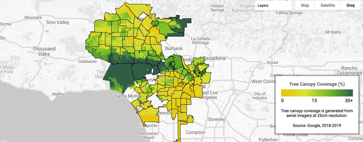
Tree coverage in Los Angeles.