Google Street View, the 1907 version
Old Rand McNally photos are sort of an early 20th century version of what Google is doing today with Street View.


When Google unveiled its Street View service in May, it seemed the entire Internet went a little crazy.
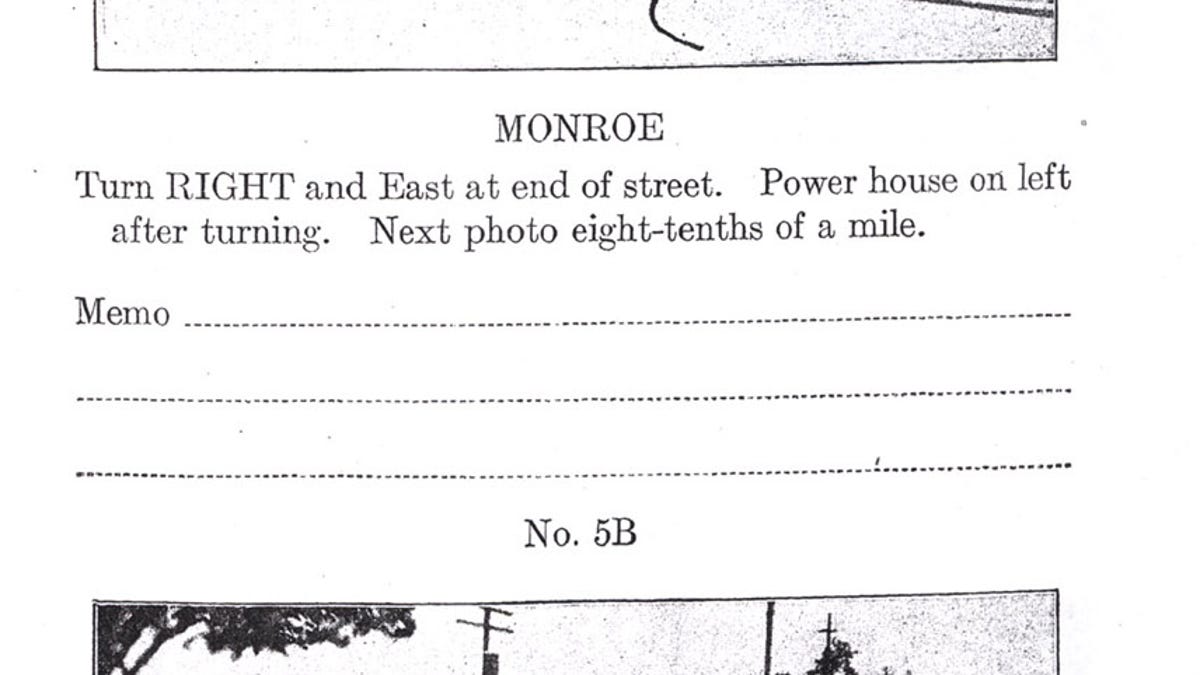
But now, thanks to Google Blogoscoped, I was looking at some 1907 Rand-McNally "photo auto" images, which show close-ups of specific turns on the Detroit to Toledo driving route, and it's obvious that Google was fully 100 years behind.
These images are great: They show the specific directions that someone would have to take to go along this route, and they bear a striking resemblance to the images Google put up with Street View.
Which just goes to show that Web 2.0 is not always ahead of its time. Sometimes, you have to turn to Web 0.01. Or something like that.