Drone app now shows where you're allowed to fly
The FAA's updated app now has useful flying zone info available on an interactive map.


- I've been covering technology and mobile for 12 years, first as a telecommunications reporter and assistant editor at ZDNet in Australia, then as CNET's West Coast head of breaking news, and now in the Thought Leadership team.
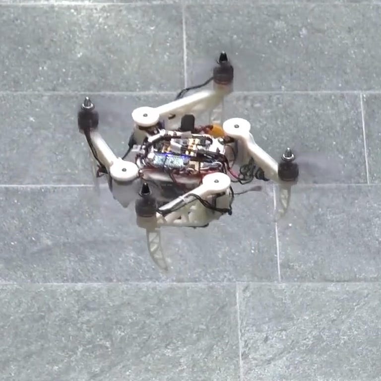
The FAA's drone app now shows where you can (and can't) fly.
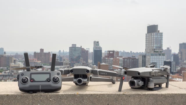
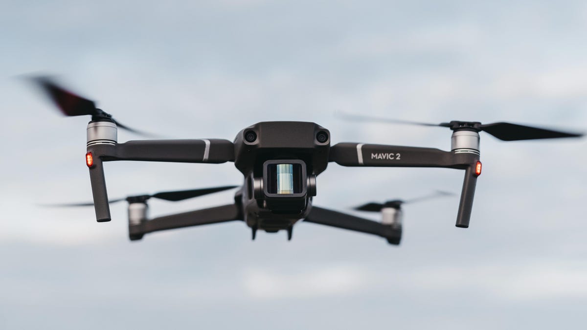
The US Federal Aviation Administration (FAA) has rereleased its drones app, this time with useful information on where you can and can't fly your drone in the national airspace system (NAS). The B4UFLY mobile app is free in the Apple App Store and Google Play store as of Wednesday.
The app now has a clear status indicator of whether it's safe to fly your recreational drone, or whether you're in a prohibited zone, like the area around an airport, a military facility or even the Super Bowl. Maps are "informative [and] interactive," the FAA said, with people able to move a location pin to search any areas they wish to fly in.
"As we continue our efforts to safely integrate drones into the NAS, working with our industry partners to provide innovative technology is critical," said FAA Acting Administrator Dan Elwell.
The FAA's app also includes maps that can be filtered; info about controlled or special use airspace; and data on critical infrastructure, airports, national parks, military training routes and temporary restrictions.
There's also a link to the FAA's Low Altitude Authorization and Notification Capability, where you can ask for permission to fly in controlled airspaces.