Satellite surveillance may be less of a privacy concern than you think -- for now
Satellite photography is a growing worry. We spoke with experts about what is and isn't actually happening up there.


- She received the Renau Writing Scholarship in 2016 from the University of Louisville's communication department.
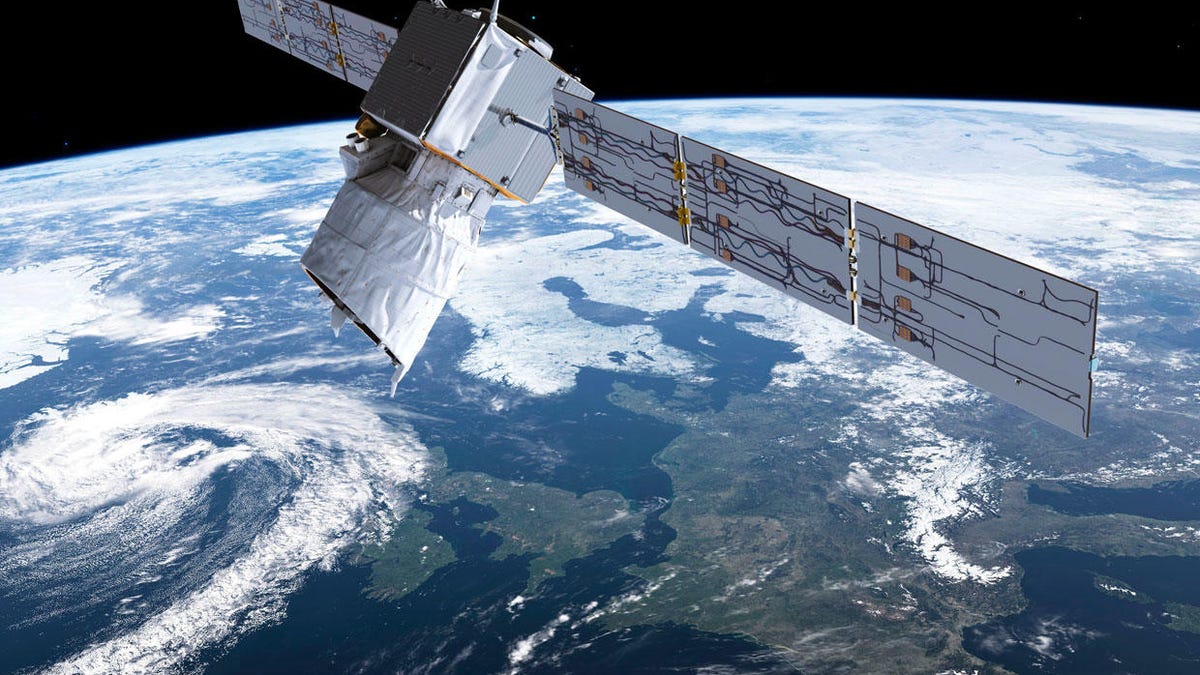
The ESA Aeolus satellite is used for Earth observation.
About 5,300 satellites orbit Earth right now, which also means that thousands of cameras take images in real time above you. Major advances in satellite photography since the 1957 launch of Sputnik have many people concerned about surveillance from space. If you worry about privacy , you may wonder what satellites can actually see and where the data goes.
Satellite photography provides a unique vantage point for taking photos of the planet that can help scientists and others recognize patterns and trends. But it also raises concerns at a time when personal privacy is under far more scrutiny than ever before.
Privacy has become a flashpoint issue in the digital age with companies recording and keeping data when they aren't supposed to and with data breaches that have revealed millions of credit card numbers, government identification numbers, birth dates and addresses.
I spoke with cybersecurity experts to find out what you need to know about these real-time eyes in the sky, what you need to worry about and what you don't. Most agreed that misperceptions stoke fears of a tech dystopia and that overall the benefits of satellite photography outweigh the risks.
The Genesis II stopped working long ago but remains in orbit. In September, the US Air Force warned of a slight possibility that it could collide with a dead Russian satellite.
Not all satellites are the same
Satellites are capable of taking photographs from space, but most of the thousands of cameras in orbit are unconcerned with your house, experts say. For example, farmers rely on satellite imagery to help assess their crops throughout the growing season, while city planners use it to more efficiently map highways, according to Charlie Loyd, an imagery specialist at online mapmaker Mapbox.
Satellite data helps organize travel and airmail. Environmental satellites document rising sea levels, hurricanes and wildfires. Geologists can also map fault lines and predict volcanic eruptions with data from radar satellites.
The United Nations keeps a satellite registry going back to the 1960s, though many aren't in orbit anymore. Here are the main types:
- Military satellites -- mostly for reconnaissance, defense and intelligence.
- Commercial satellites -- for communication, entertainment-related purposes, mapping and more.
- GPS satellites -- for supporting navigations systems.
- Scientific satellites -- for biological research programs, health care, climate studies, space research, evaluating agricultural patterns, weather and more.

The Landsat 8 satellite caught this image of the Camp Fire in California on Nov. 8, 2018.
Satellite photos are less accurate than you think
Satellite photos aren't like a spy movie where you can keep zooming in until you see freckles on a person's nose. In fact, photos today aren't accurate in the way your phone's camera is. For example, each pixel you see -- in a satellite image with one-meter resolution -- covers one square meter of ground.
As a rule of thumb, the lower an image resolution is, the better the image quality. Click on the links below to see simulation satellite images at multiple resolutions of the same object:
- 50 cm resolution: This is the most common resolution used in Google Maps. The image is pixelated.
- 25 cm resolution: This is the best publicly available resolution for satellites. The image slightly less pixelated, but the details are still indiscernible.
- 5 cm resolution: This is the resolution known within the limits of spy satellites, according to tech expert Nooria Khan. The image comes into focus. You can make out two men sitting at a bus stop, wet spots from melted snow, a trash can and defined shadows on the sidewalk.
- 1 cm resolution: Experts believe that this resolution is used by advanced government spy satellites. You can see clothing details, cracks in the sidewalk and small bits of trash on the ground.
While the accuracy of data can vary from satellite to satellite depending on its photographic capability, the vast majority of imagery isn't typically good enough to jeopardize the average person's privacy.
"I suspect that most people think of accuracy and satellites based on what they see in action-adventure and spy movies," said John Gomez, CEO at cybersecurity company Sensato.
Satellites come with rules
Satellites are actually governed by rules and regulations. A US business that wants to launch a satellite must get a Federal Communications Commission license and an International Telecommunications Union approval first.
Surveillance satellites must also meet strict National Oceanic and Atmospheric Administration (NOAA) regulations, according to Ben Lamm, CEO of Hypergiant Industries, an AI products and services company.
"If the satellite can see less than 0.3 meters, the satellite will be deemed illegal or only usable by the defense industry. At this range, the satellite is able to identify maybe cars, definitely homes, but not individual people," Lamm said.
Jamie Cambell, the founder of GoBestVPN.com, said that the NOAA cap on image clarity is only for US satellites. Lamm noted that the regulations and licensing requirements in place are strict enough to ensure that the public's privacy is protected.
US regulations don't apply to satellites from other countries, but other countries do regulate their satellites too. Canada's satellites, for example, are governed by the Remote Sensing Space Systems Act. In addition, Europe's General Data Protection Regulation may apply to any imaging system that could personally identify EU citizens.
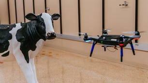
Drones raise a whole new set of questions about privacy.
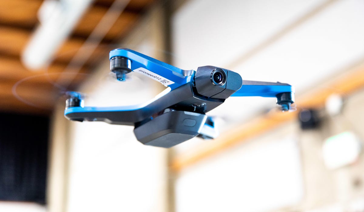
Drones may be far more likely to surveil you
While satellites take photos, experts point out that drones and helicopters can too -- much more cheaply, easily and accurately. Drones that can track and identify faces are available on Amazon and at Best Buy, Gomez said.
"Even if the person runs or hides behind an object or wall or car, the drone will wait them out. That is a $1,500 drone," said Gomez. "Think about what you could do with a professional drone."
Drones are also easier to deploy for more nefarious purposes, according to Gomez.
"They can stay on target for very long periods of time and you can arm them if you wanted to take someone out," he said.
For example, the International Space Station orbits the Earth a few times per day and captures stunning photos from space. It's classified as an artificial satellite, but you wouldn't expect it to be able to photograph your license plate number. By contrast, last month (and much closer to the ground), an off-duty Louisville Metro Police Department officer in Kentucky flew a police drone outside an apartment complex downtown. The drone reportedly flew past multiple floors of the apartment's 29 stories and remained 5 to 10 feet from the apartment's balconies.
Justin Sherman, a cybersecurity policy fellow at Think Tank New America, said the mass amounts of commercial satellites allow for new levels of OSINT, or open-source intelligence collection. OSINT is data collected from publicly available sources that's used in an intelligence context.
Although satellites take photos, said Loyd, pictures are just pixels unless they're then attached to data. Potential privacy problems surrounding satellites depend on which satellite you're talking about, your expectations and the abuse of other data streams.
Gomez said that instead of hacking a satellite to reveal your location patterns, for example, it would be easier to hack your phone, your phone provider or your vehicle's GPS system to find out where you are and where you've been.
Khan said that government surveillance has come under increasing public scrutiny. There's a thin line between acceptable and intrusive monitoring from above, she said. Cambell said that like most tech-related things, satellites are advancing too fast for the government regulation to keep up.
Knowing what satellites can and can't do is key to stopping misinformation, experts say -- although it's impossible, even for experts, to know everything that's happening. At the same time, technology will continue to improve and it's hard to say what satellites will be capable of in the future.