NASA scopes out Antarctica's ice (photos)
Operation Ice Bridge has wrapped up its fall mission to collect data as scientists seek a better understanding of how melting in that region could affect global sea levels.


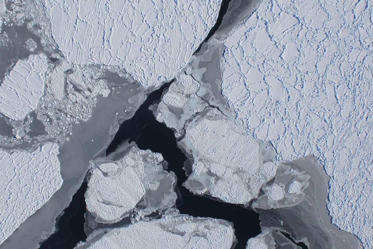
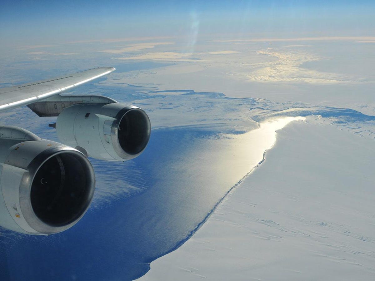
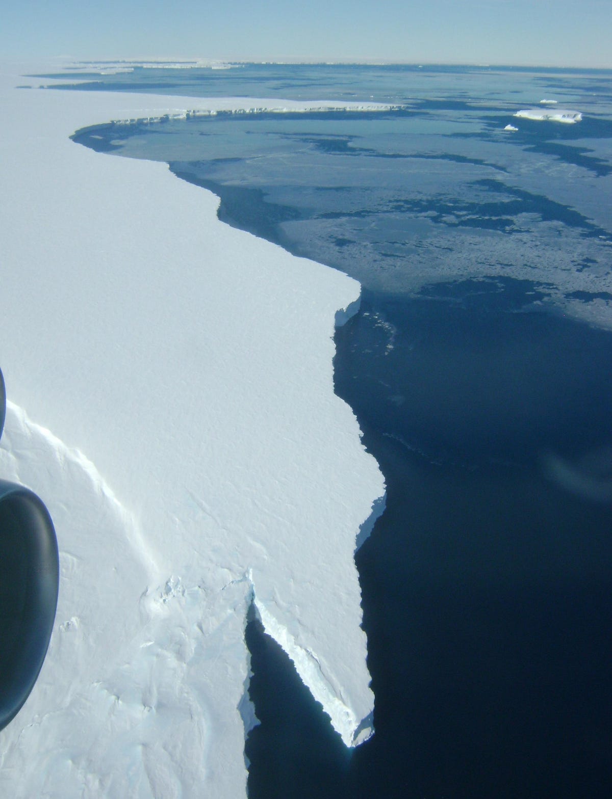
Amundsen Coast
The image here is of the ice shelf extending over the Amundsen Sea, taken during the fall campaign's first flight on October 16. It was taken by the DC-8's downward-looking Digital Mapping System camera.
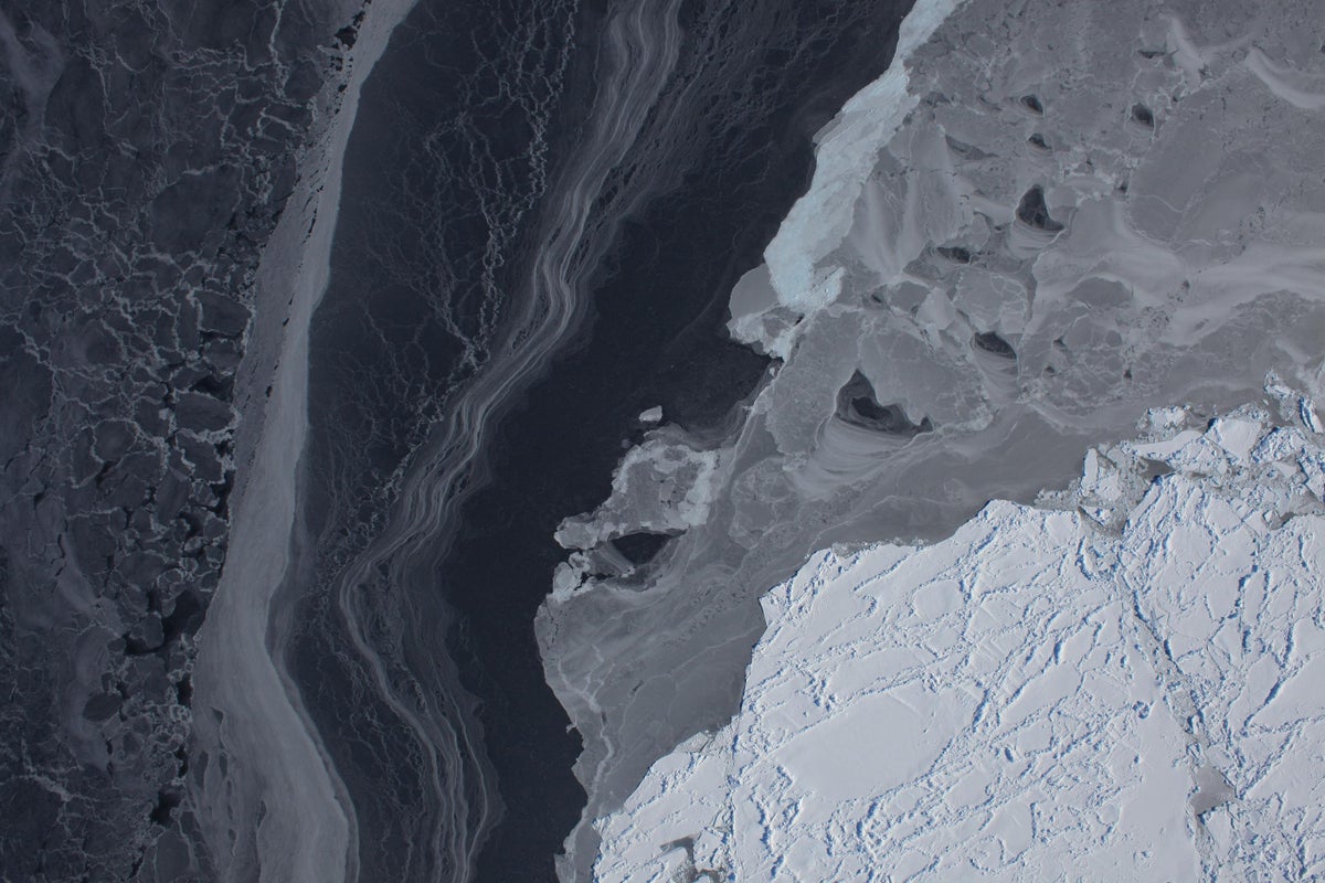
Amundsen Coast, longer view
The DC-8 flights were meant to supplement the information gathered since 2003 by NASA's Ice Cloud and Land Elevation Satellite, or ICESat. That satellite is down to just one operational laser (out of three), and the replacement ICESat-II won't launch until at least 2014.
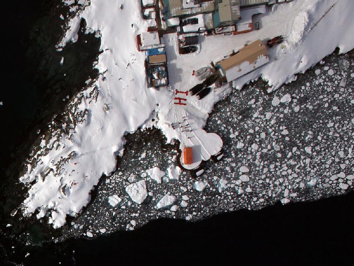
Palmer Station says hi
Anvers Island is located at about the midpoint of the Antarctic Peninsula, which sweeps northward toward Tierra del Fuego and the southern tip of South America. It was in that area, in Punta Arenas at the southernmost end of Chile, that the Ice Bridge team was based, and not in Antarctica itself.
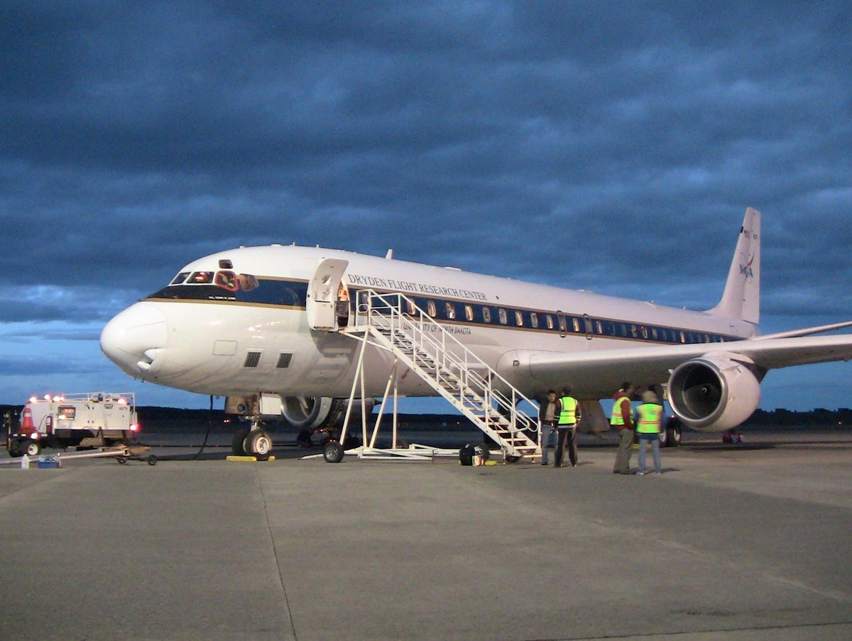
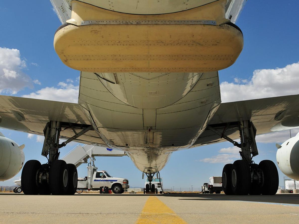
DC-8 in Punta Arenas
Over the course of five weeks, the Ice Bridge aircraft traveled almost 100,000 miles in a total of 21 flights over Antarctica. Michael Studinger of Lamont-Doherty Earth Observatory, co-principal investigator on the gravimeter team, wrote in a blog post on November 24 as the DC-8 headed back to NASA's Dryden Flight Research Center in California:
"During this time, we collected high-precision measurements of the ice surface elevation of many glaciers and ice shelves in Antarctica. We have also mapped the thickness of the glacier ice and snow cover, have measured the freeboards and snow thicknesses of the sea ice in the Weddell and Ross seas, and have collected gravity measurements that will allow us to estimate how deep the water is beneath the floating glacier tongues."
Pine Island Bay
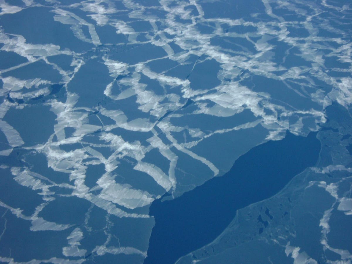
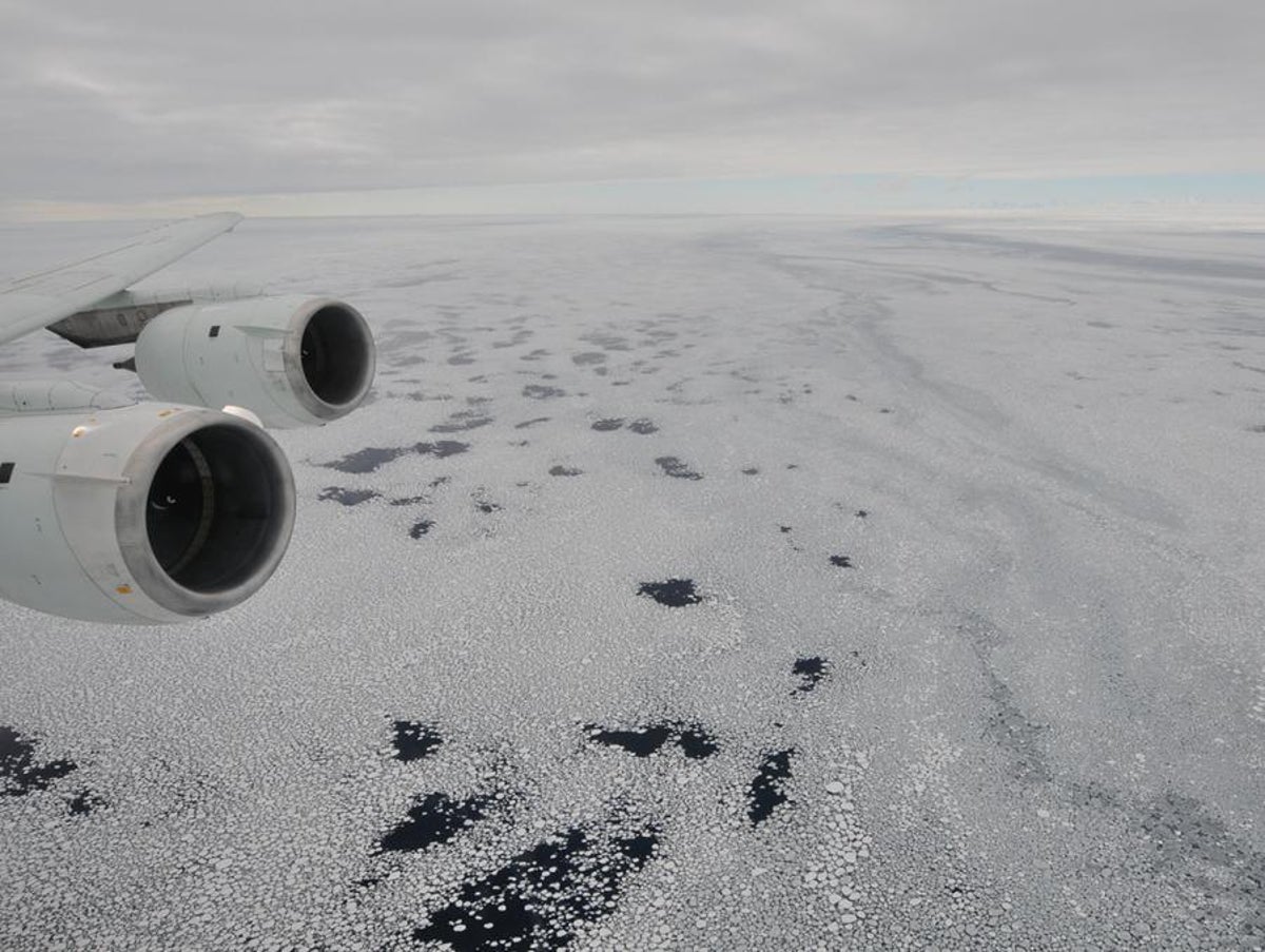
Thin ice
"The immediate response is that the Antarctic sea ice is experiencing a decline in cover. The problem with Antarctica is that you don't have an easy one-sentence answer," Thorsten Markus, principal sea ice investigator for the mission, said in an Operation Ice Bridge FAQ.
"The Arctic is sort of easy: the ice is decreasing, and we'll eventually see ice-free summers," he said. "In Antarctica, the system is more complex. Next to West Antarctica, sea ice is decreasing. Around the Peninsula it's also decreasing and probably getting more snowfall, so we see big changes there, too. But for more of the continent, we actually see a slight increase in sea ice. It has to do with the ocean underneath the ice, the ozone hole, and a combination of both."
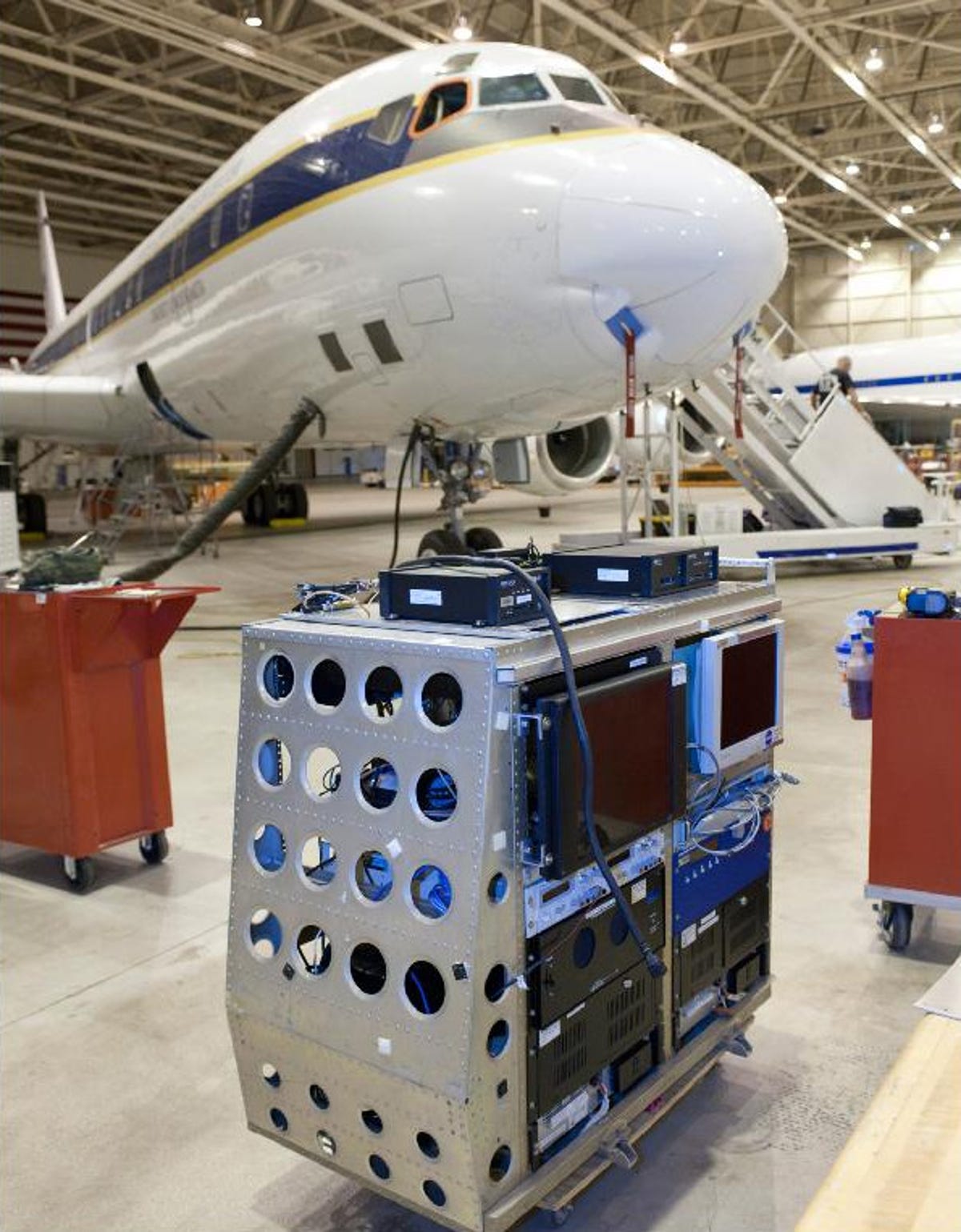
Laser Vegetation Imaging Sensor
MCoRDS instrument
Said Markus in the FAQ: "We have a laser altimeter...that's similar to ICESat and is the primary instrument of the mission. The laser bounces off the surface, whether it's snow or ice, and provides a measure of surface elevation. But we also have radars on this plane, developed by the University of Kansas, which penetrate the snow. If you look at the difference between the laser and radar results, ideally you get the snow depth."

Seelye Martin
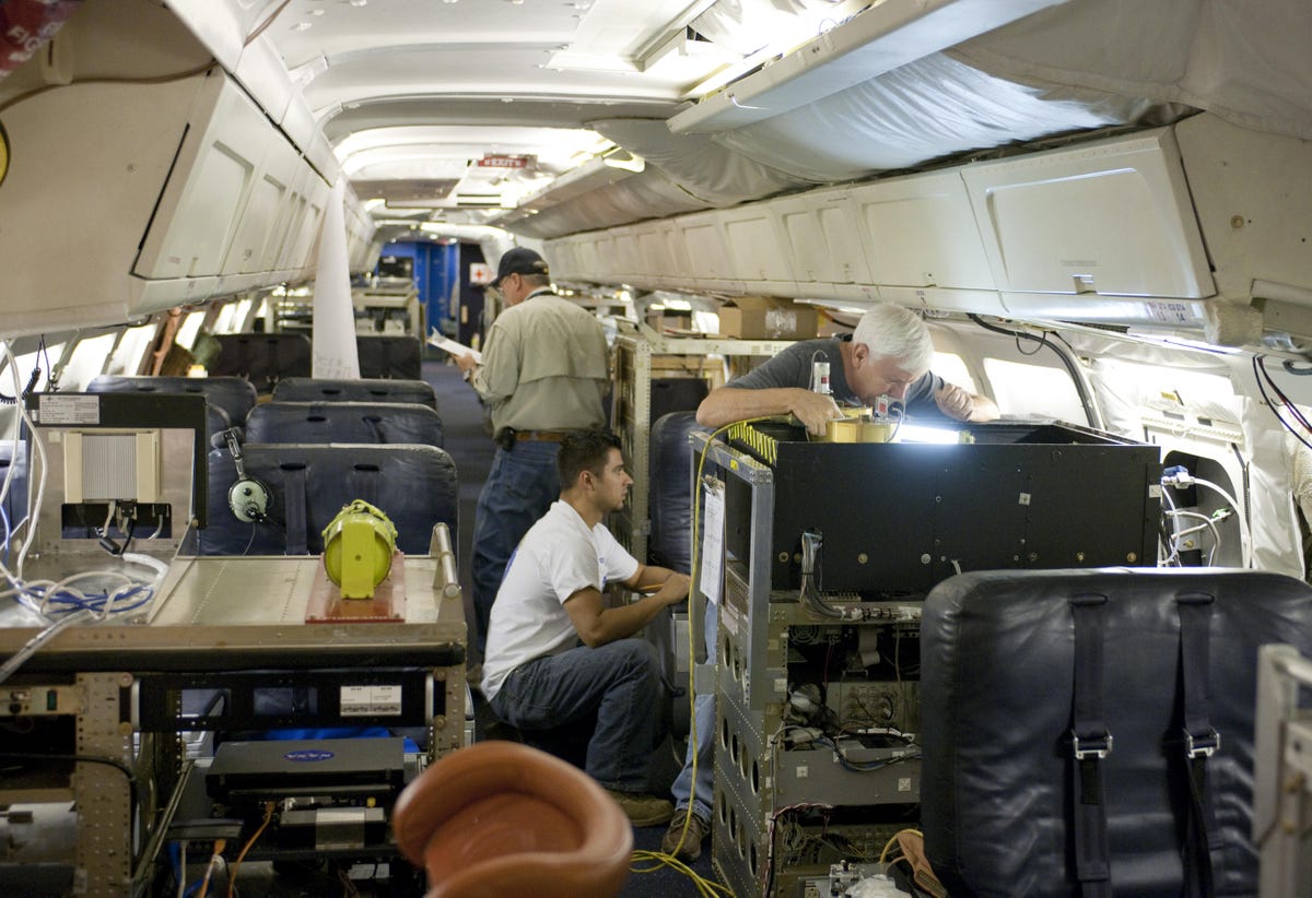
DC-8 interior
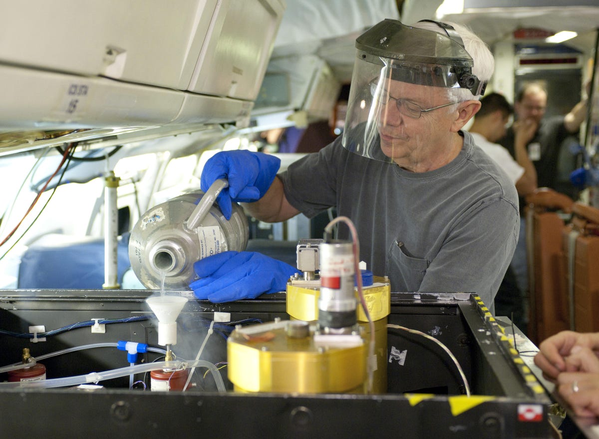
Liquid nitrogen
Sea ice
"Sea ice formation and melt have a really strong impact on ocean circulation, which acts like a huge heat pump keeping our climate stable," according to Thorsten Markus in the Operation Ice Bridge FAQ. "This 'thermohaline circulation' is driven by temperature and salinity. The interesting part of this circulation is that the deep, bottom water masses of the ocean only make contact with the atmosphere only at polar latitudes, in the Arctic or the Antarctic. Change ocean salinity--by growing or melting sea ice, which is inherently salt-free--and you can affect global circulation. The process is complex, but that's basically why it's so critically important."
Pine Island Glacier
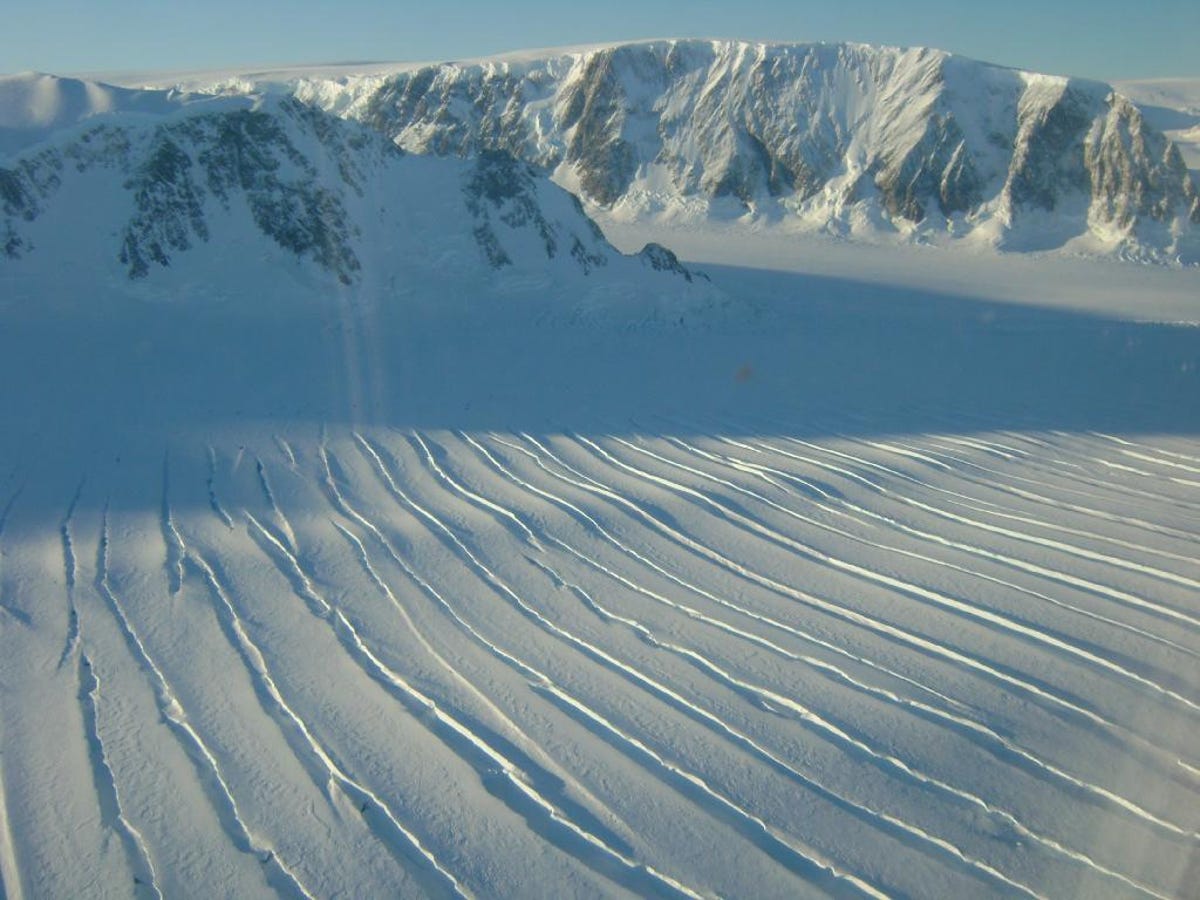
Cracks in peninsula ice
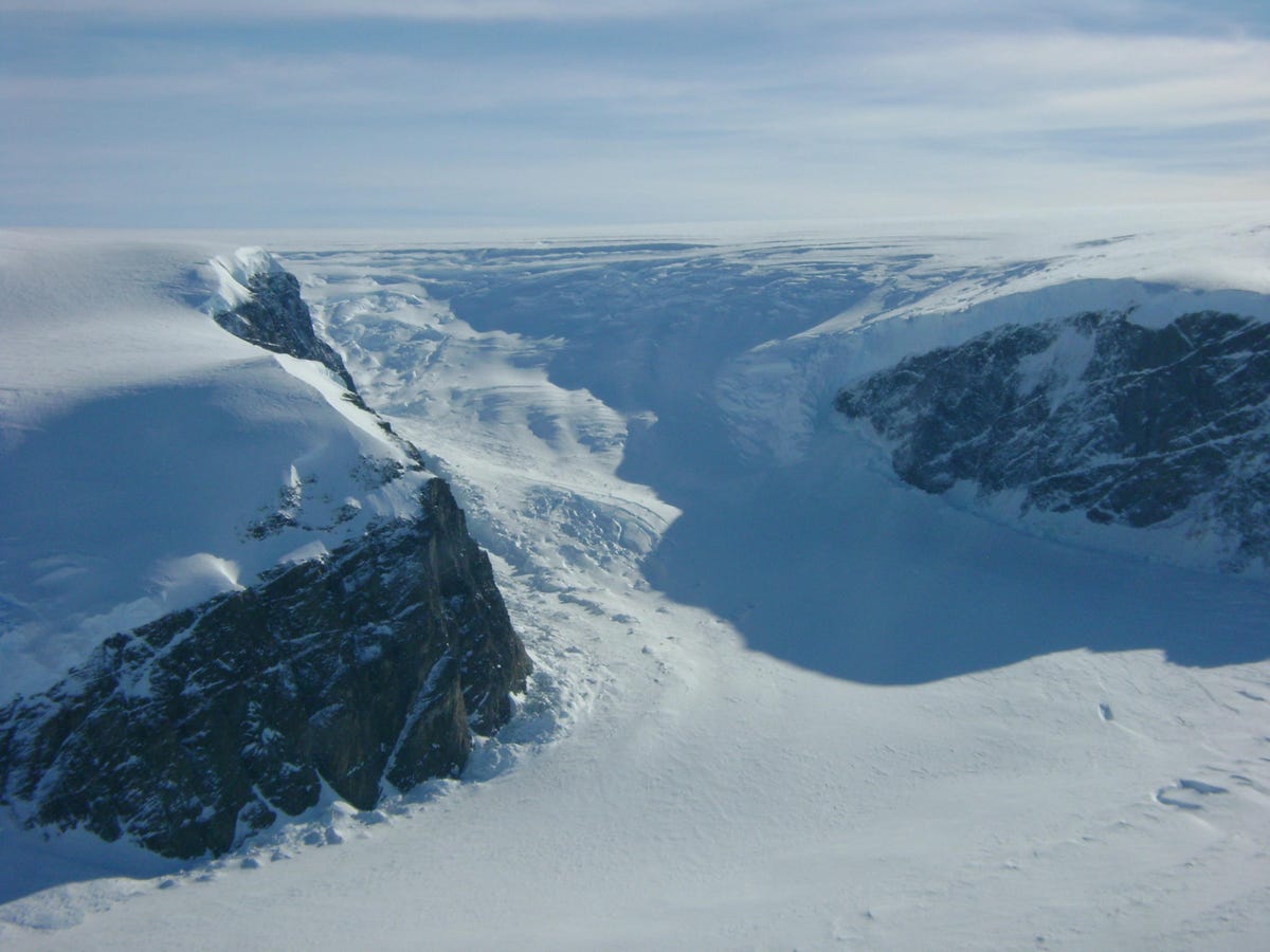
Glacier
More Galleries

My Favorite Shots From the Galaxy S24 Ultra's Camera
20 Photos
Honor's Magic V2 Foldable Is Lighter Than Samsung's Galaxy S24 Ultra
10 Photos
The Samsung Galaxy S24 and S24 Plus Looks Sweet in Aluminum
23 Photos
Samsung's Galaxy S24 Ultra Now Has a Titanium Design
23 Photos
I Took 600+ Photos With the iPhone 15 Pro and Pro Max. Look at My Favorites
34 Photos
