<br /><p>On Thursday, the U.S. National Oceanic and Atmospheric Administration launched an immersive, interactive 3D presence in the virtual world <i>Second Life</i>.</p>
<br />
The site, created by NOAA's Earth Research Lab, gives <i>Second Life</i> users the opportunity to walk through a series of interactive exhibits, showing, for example, the effects of global warming on large glaciers; what it's like to fly in a NOAA plane or weather balloon into, through or around a hurricane; and what undersea caves and marine life look like from a submarine.
Daniel Terdiman
Daniel Terdiman is a senior writer at CNET News covering Twitter, Net culture, and everything in between.
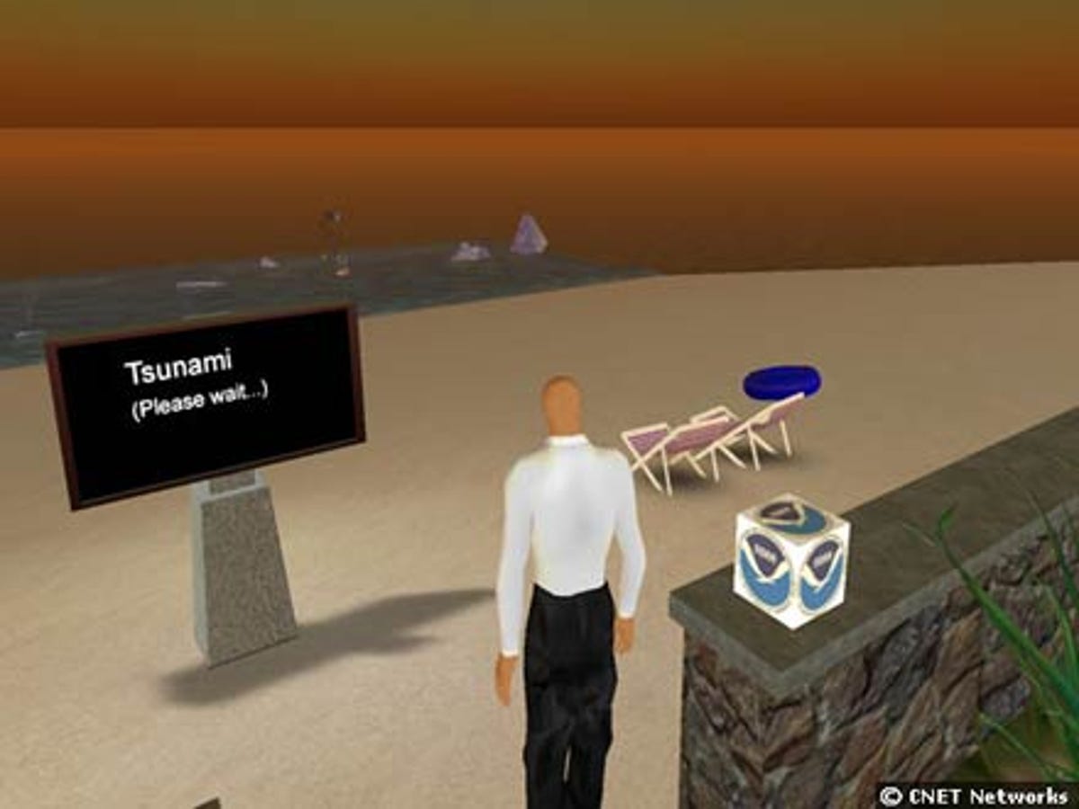
Here, the exhibit showcases the effects of a tsunami, demonstrating first what happens when the water pulls back.
2 of 11 Daniel Terdiman/CNET News.com
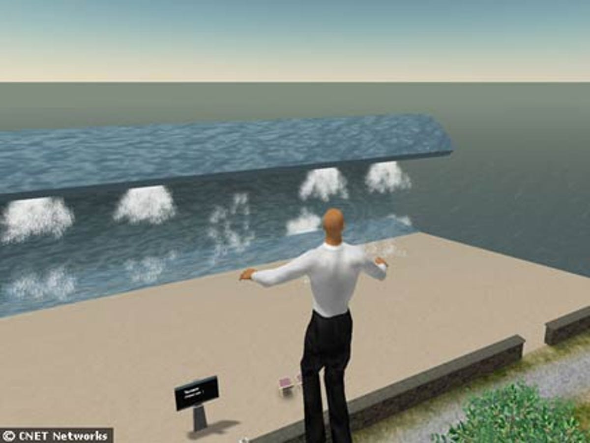
In the second stage of the tsunami--as showcased in the NOAA's exhibit island in Second Life--water rises high above a fake beach.
3 of 11 Daniel Terdiman/CNET News.com
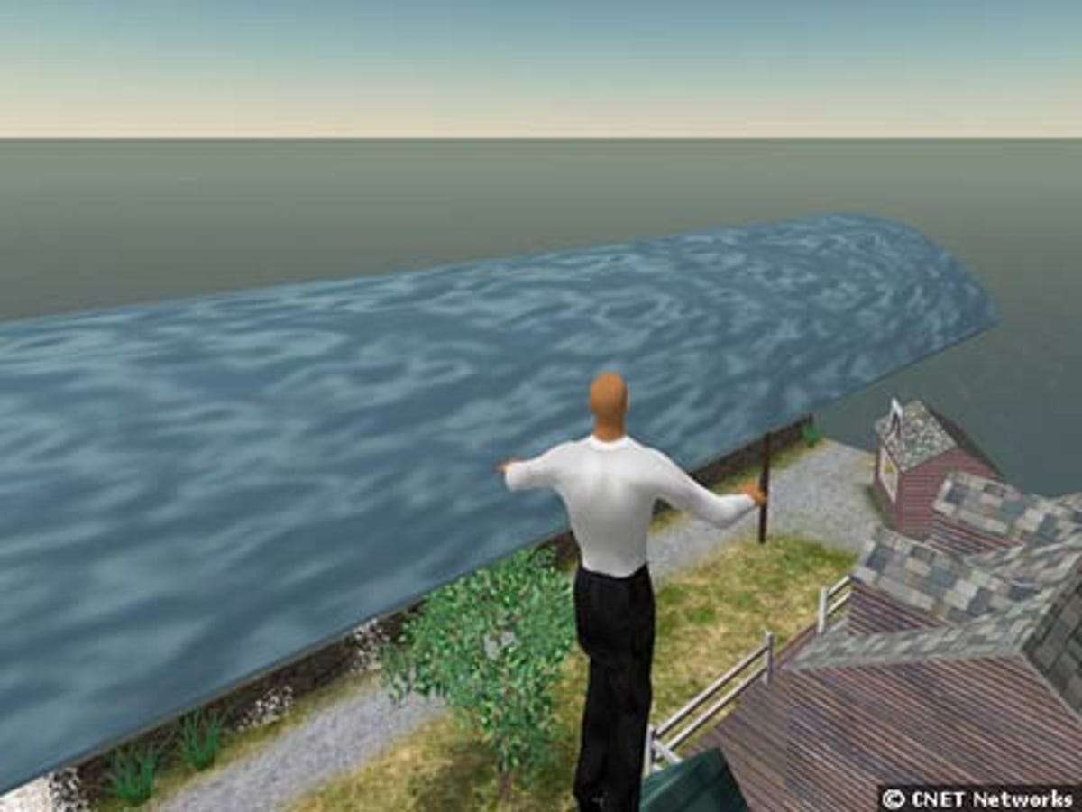
In the third stage, the tsunami begins to crash down on a small fake village beyond the beach. The exhibition is part of NOAA's showcase of interactive models in Second Life.
4 of 11 Daniel Terdiman/CNET News.com
After the tsunami has battered this small village on the edge of a beach, there's almost nothing left. The water has risen high above the original village and submerged it.
5 of 11 Daniel Terdiman/CNET News.com
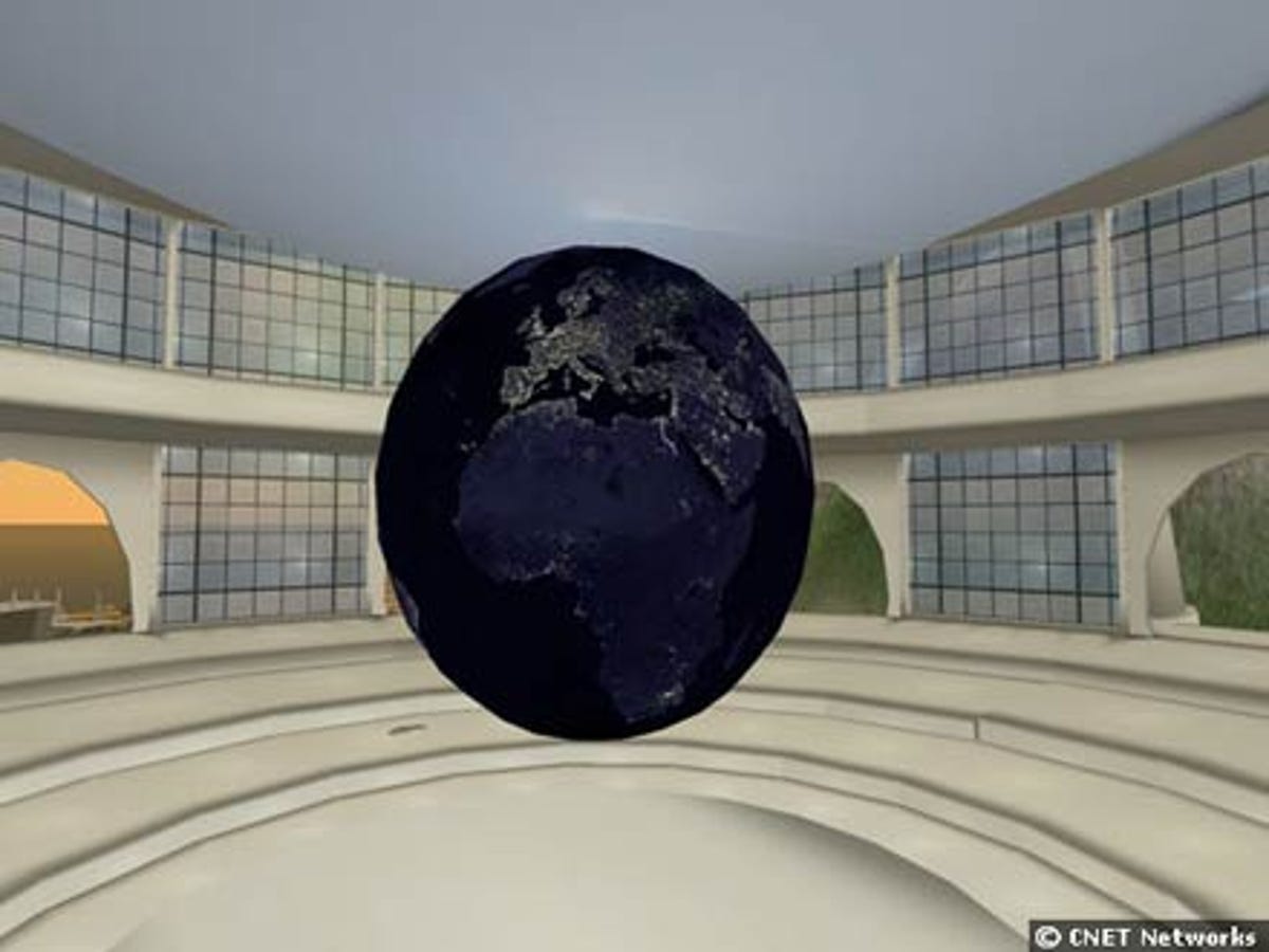
One exhibit in NOAA's virtual island in Second Life showcases what the Earth looks like at night from outer space. It's possible to see lights of cities and developed areas on the planet from space, particularly in the West, where there are many more industrial areas than on other parts of the globe.
6 of 11 Daniel Terdiman/CNET News.com
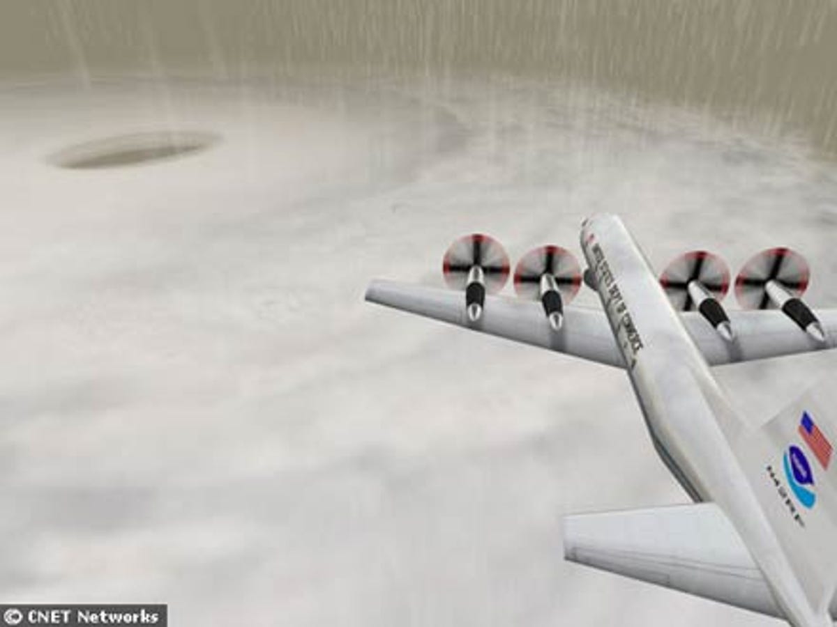
On the plane ride available to Second Life visitors to NOAA's island, the flight goes up and through a hurricane, giving a sense of what the storm looks like on the inside. It also shows how the weather around the hurricane includes heavy rain and other rough conditions.
7 of 11 Daniel Terdiman/CNET News.com
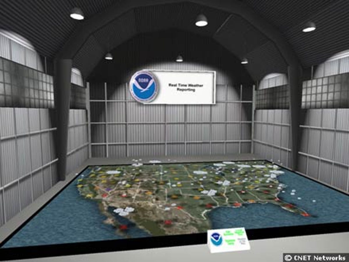
NOAA's Second Life island includes several exhibits showcasing weather-related experiences. Here, users can see a large-scale interactive and real-time map of the United States displaying weather conditions in various parts of the country. It resembles the maps shown on TV news stations' weather forecasts, but allows users to walk or fly into and around it.
8 of 11 Daniel Terdiman/CNET News.com
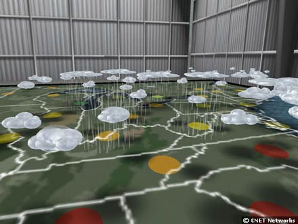
Here, a view from inside the real-time weather map of the United States on NOAA's interactive Second Life island.
9 of 11 Daniel Terdiman/CNET News.com
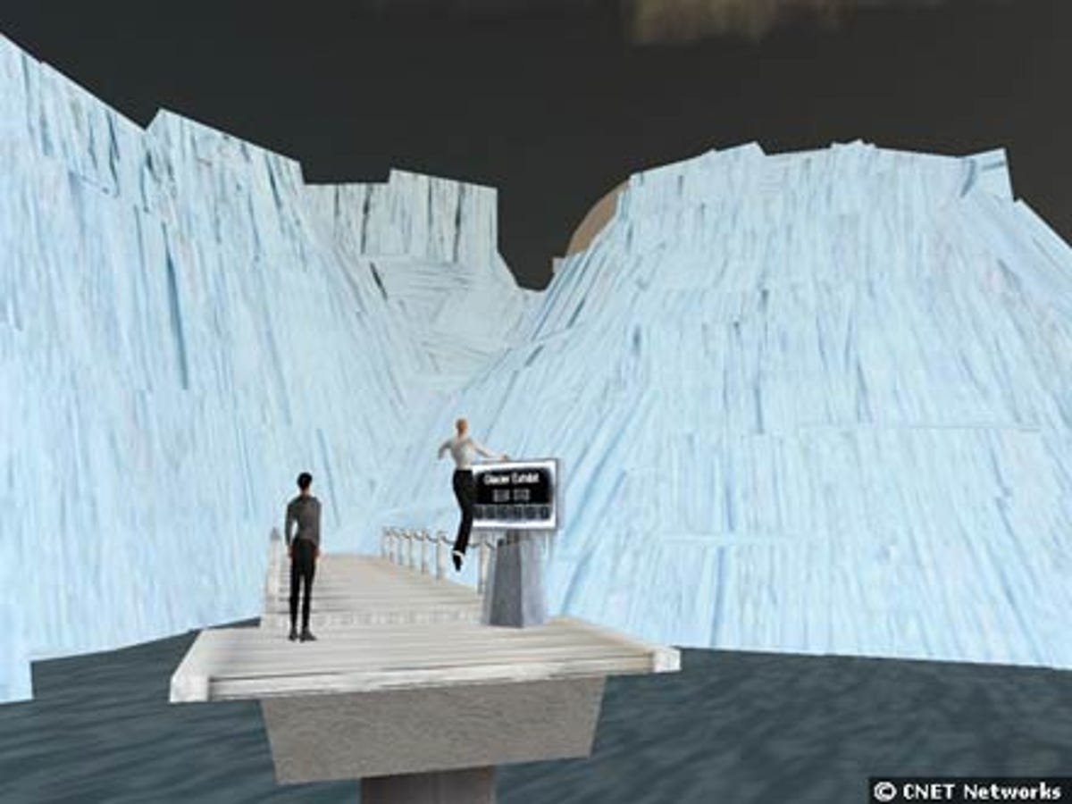
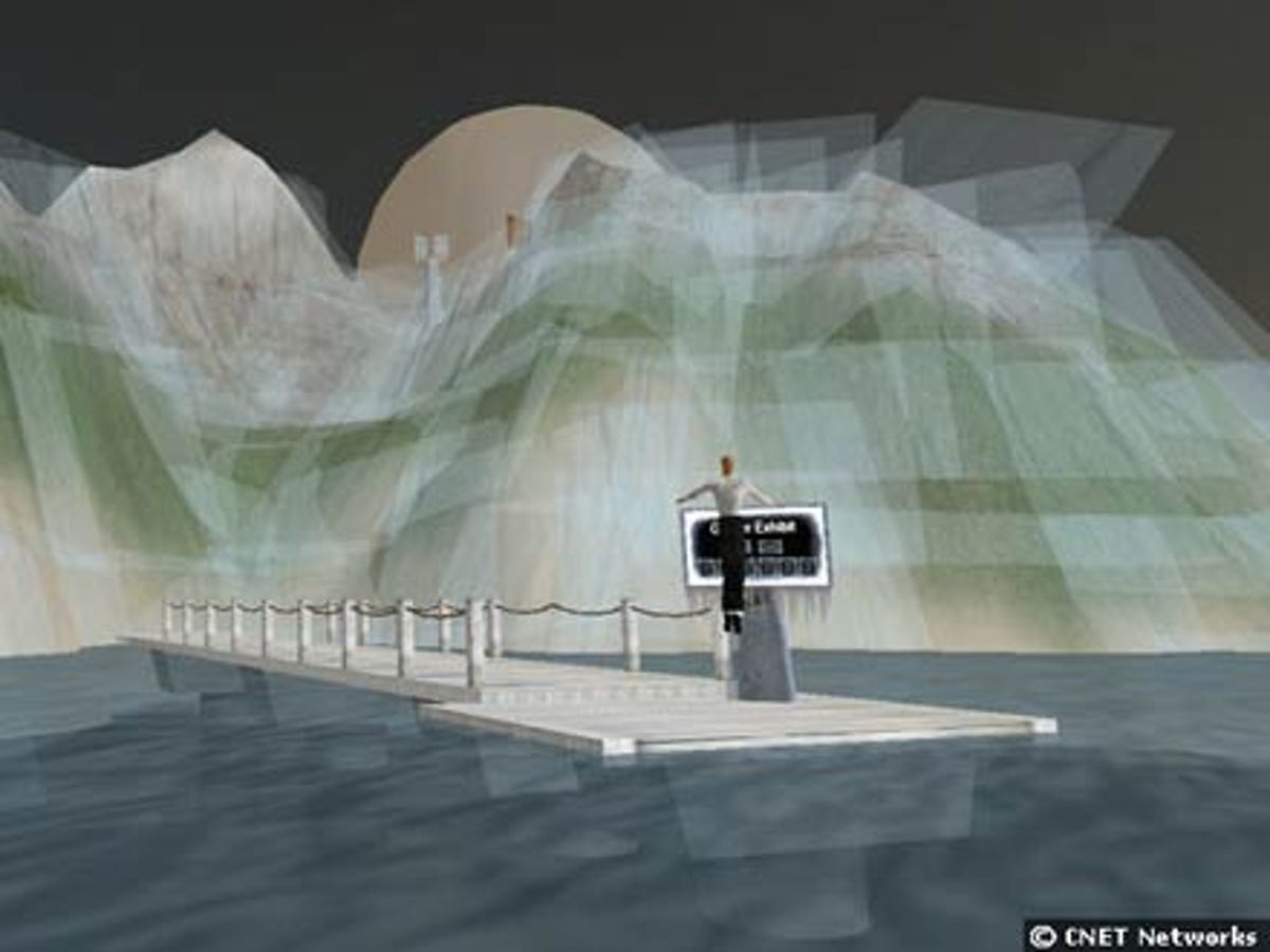
Another exhibit on NOAA's Second Life island shows the effects of a glacier on sea levels. In this first image, the glacier is fully formed, and the bridge in the foreground is well above the water line.
10 of 11 Daniel Terdiman/CNET News.com
In the second of three images, the glacier has begun to melt, and the sea level is rising closer to the bridge.
11 of 11 Daniel Terdiman/CNET News.com
In this last of three images taken on NOAA's Second Life interactive island, the glacier exhibit shows that the glacier has fully melted, and that the bridge has been completely submerged by the rising sea.