Tiny NASA satellite gets fascinating 3D peek inside Hurricane Dorian
An experimental NASA CubeSat shows it can make big weather observations.


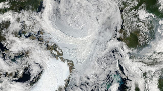
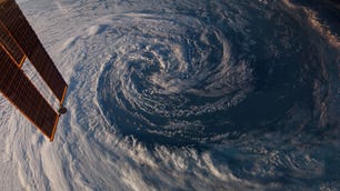
We've seen Hurricane Dorian from inside the eye, from satellites and looking down from the International Space Station. A tiny experimental NASA weather satellite has now given us a fascinating view from under the hurricane's hood.
Tempest-D is a CubeSat roughly the size of a box of cereal. This inexpensive satellite is on a demonstration mission to show if it can track storms. If successful, it could set the stage for launching a series of low-cost CubeSats that can follow storms across the globe.
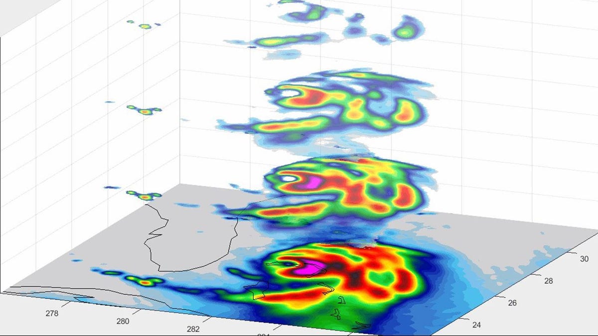
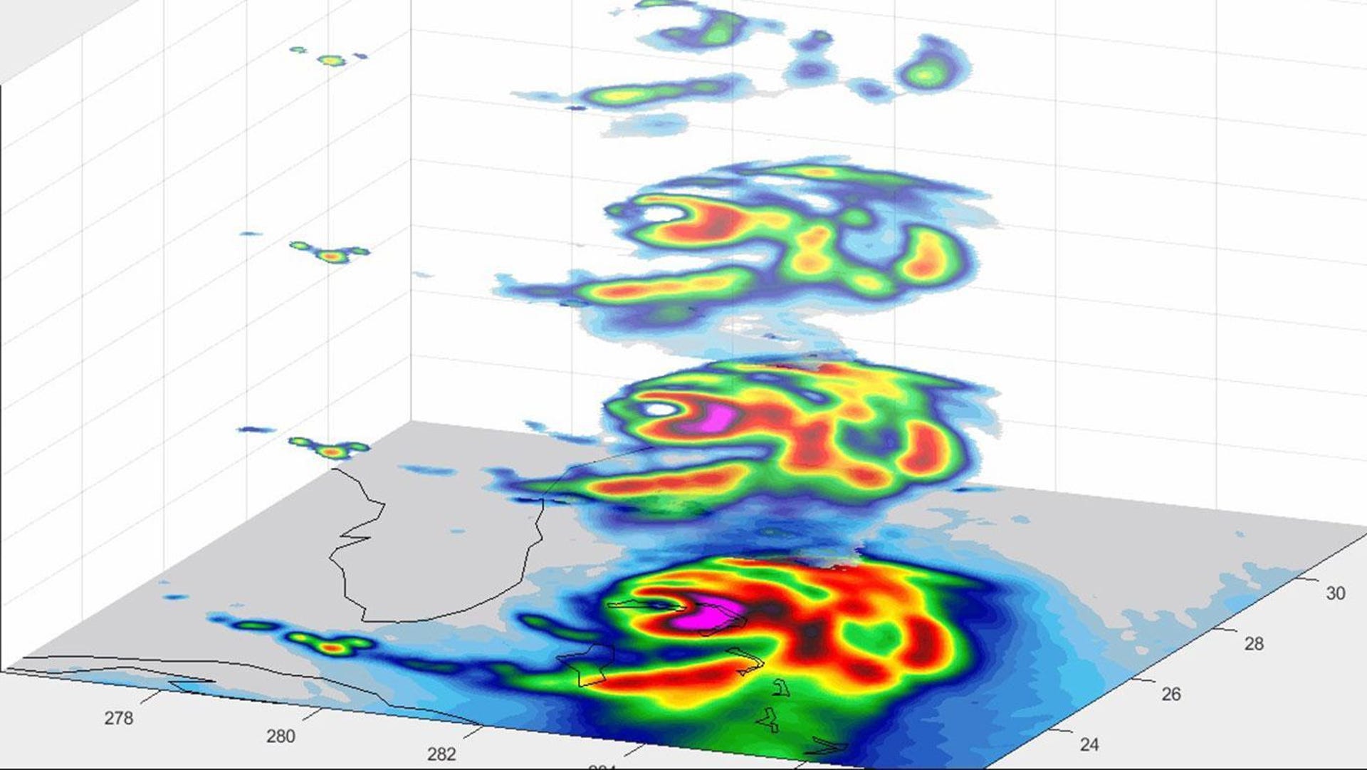
The satellite shows us the layers inside Dorian in 3D. "The CubeSat used its miniaturized radio-wave-based instrument to see through the clouds, revealing different depths of the hurricane with areas with heavy rainfall and moisture being pulled into the storm," NASA said in a statement on Wednesday.
NASA shared an animated version of Tempest-D's data, giving an unusual perspective on the hurricane.
This GIF shows the layers inside of Dorian as seen by the Tempest-D satellite. Yellow, red and pink indicate the areas of the most intense rainfall.
Dorian, which briefly dipped in strength, ramped back up to a Category 3 hurricane as it struck the North and South Carolina coasts on Thursday. It lingered over the Bahamas earlier in the week, leaving at least 20 dead and wiping out structures on the islands.
Some mainland coastal communities were already ordered to evacuate ahead of Dorian's arrival, but you can still check out our recommendations for creating an emergency go bag in case of a disaster. The storm is expected to make its way up the coast into the weekend, bringing dangerous winds and rising water levels along with it.