See a National Geographic team survey Everest with a drone at 28,300 feet
"We are in uncharted territory," the team behind the National Geographic channel's documentary Lost on Everest says in this exclusive clip.


Mount Everest has been the site of both disasters and triumphs as climbers have attempted to reach the summit of the treacherous and icy mountain. National Geographic's upcoming documentary Lost on Everest follows the trail of the infamous 1924 expedition of George Leigh Mallory and Andrew "Sandy" Irvine.
A National Geographic team led by climber Mark Synnott and mountaineer Renan Ozturk visited Everest in a renewed search for Irvine's missing body. Mallory's remains were found in 1999. It's still a mystery as to whether the pair reached the summit before their deaths. If so, they would have been the first to do so, long before Edmund Hillary and Tenzing Norgay in 1953.
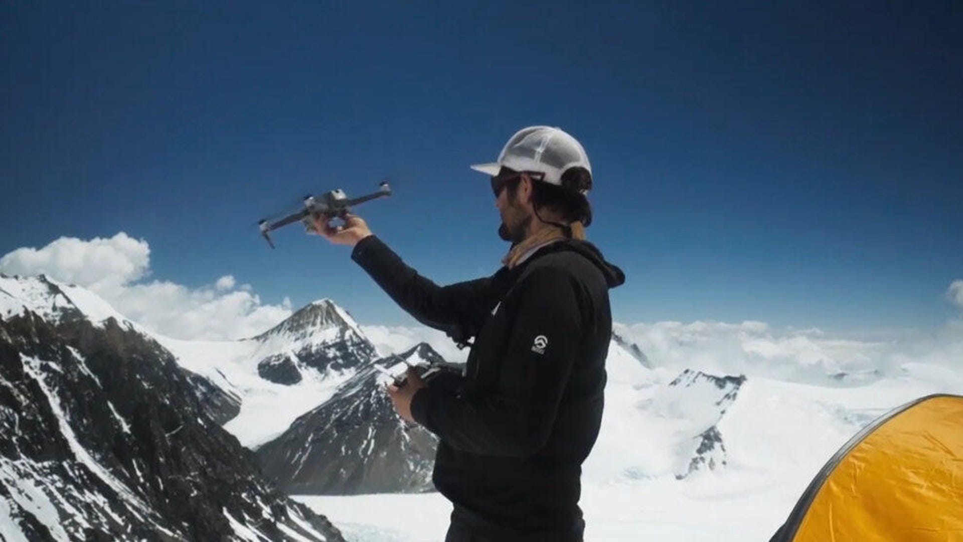
The clip shows how drone flights were used to survey the dangerous Everest terrain without having to risk climbers. The team was able to capture both sweeping landscape views and close-in photographs of key areas of the mountain.
This was no ordinary drone flight. The drone soared to 28,300 feet (8,625 meters). The summit of Everest is just over 29,000 feet (8,840 meters).
Lost on Everest premieres on National Geographic on June 30, when it will be revealed what the team and its drone found on the daring expedition.