Road-testing the Magellan RoadMate for iPhone
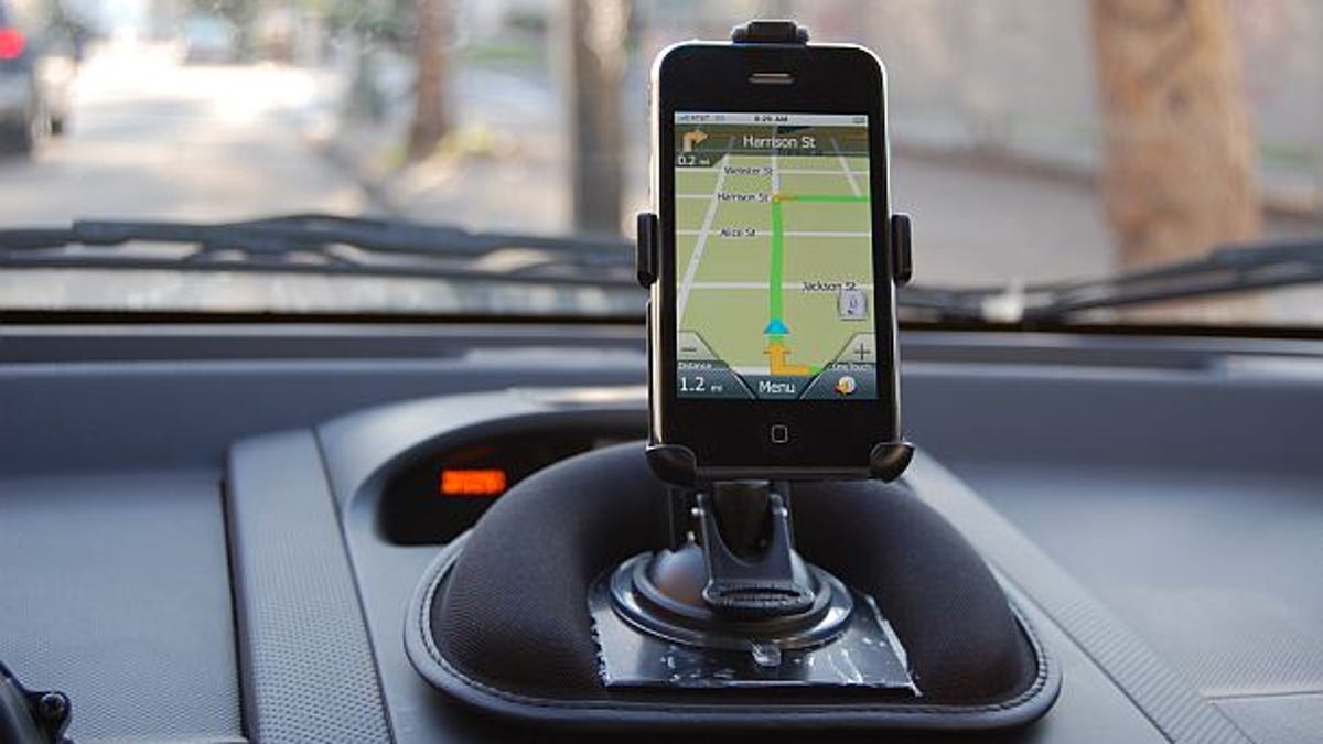
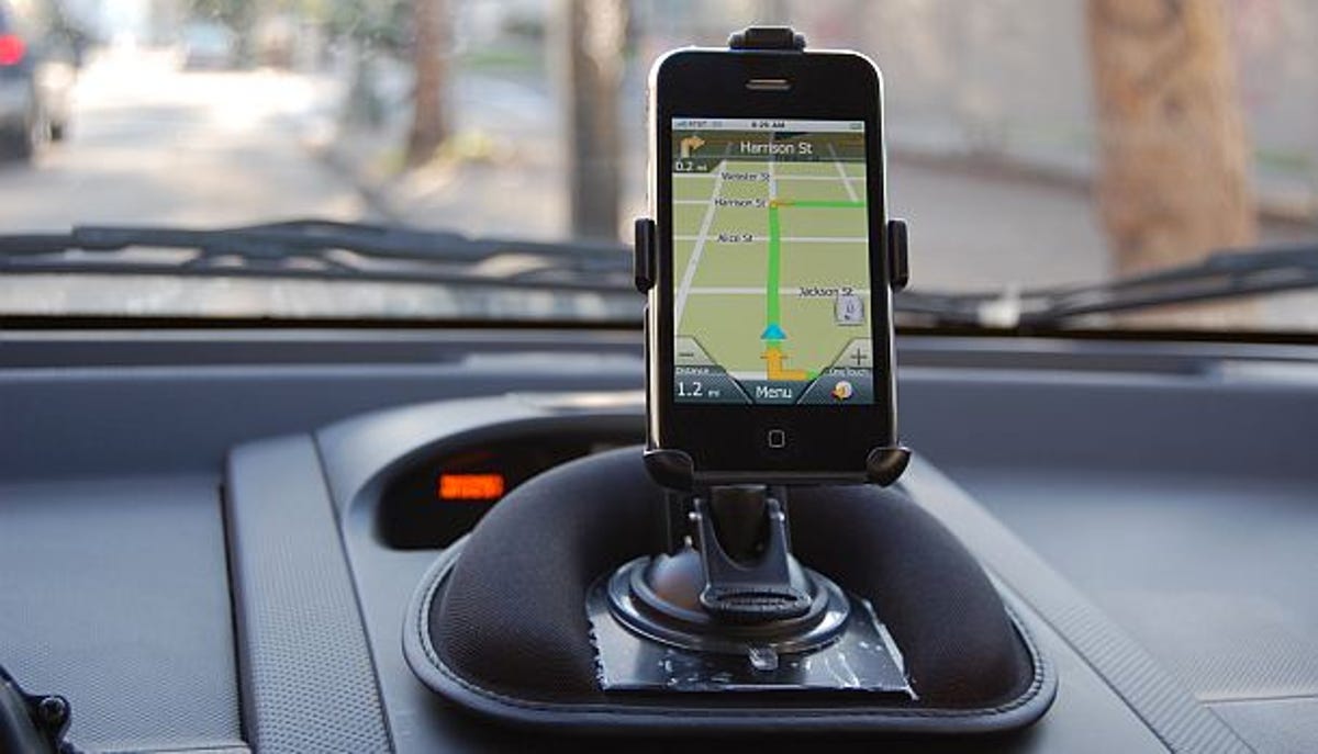
We got our hands on an early copy of Magellan's RoadMate iPhone app, so we're testing it out on the iPhone 3GS.


- North American Car, Truck and SUV of the Year (NACTOY) Awards Juror
As the PND vs. smartphone battle for navigation superiority continues, we're seeing more of the GPS heavyweights hedging their bets by developing application versions of their standalone GPS devices, while others push toward adding cellular technology to their portable devices in a bid to even the playing field.
Magellan finds itself in the former camp with the announcement of its Magellan RoadMate for iPhone turn-by-turn navigation application. The application is compatible with the iPhone 3G and 3GS models and will be available soon on the App Store at an introductory price of $79.99 (which will jump to $99.99 sometime thereafter).
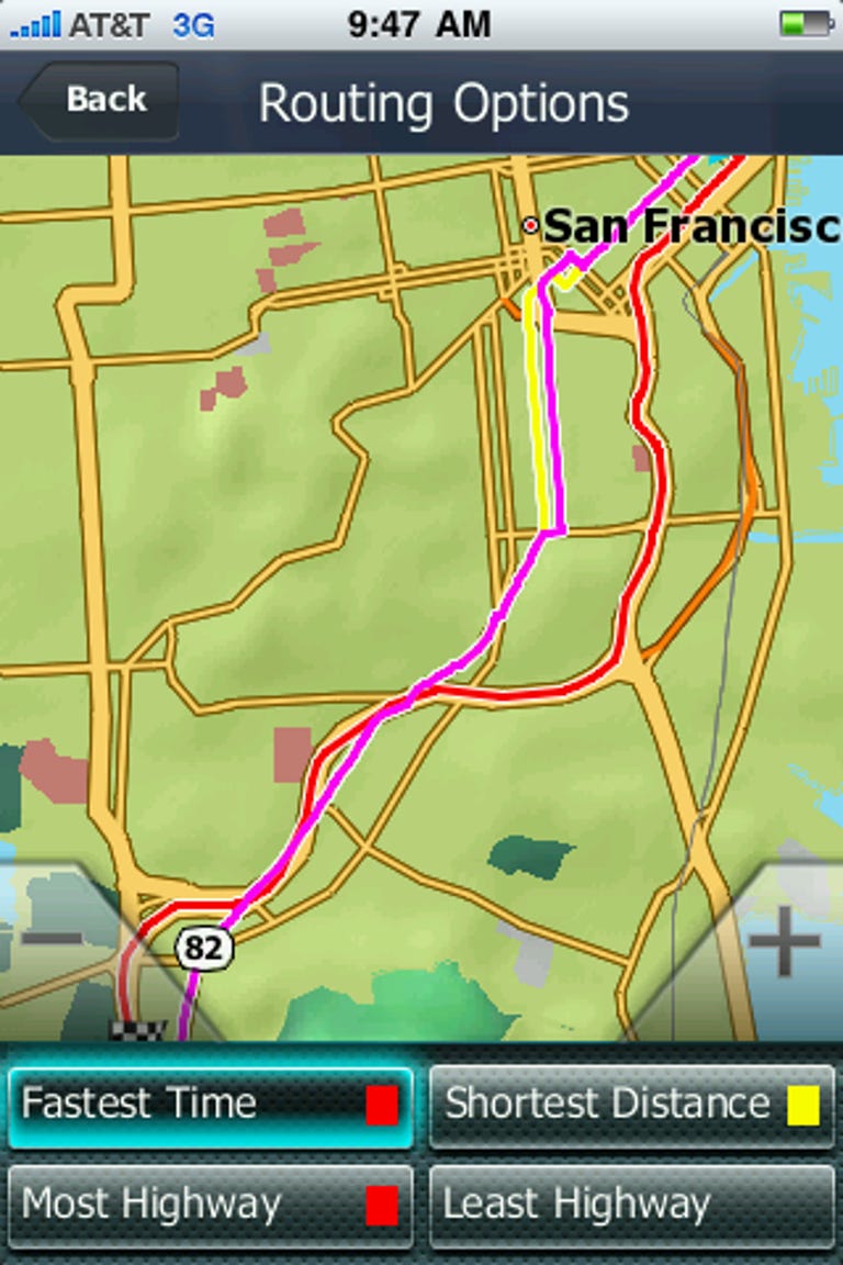
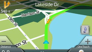
The Magellan RoadMate for iPhone inherits many of the features that we liked when we tested the RoadMate 1470 standalone navigation device, such as the OneTouch user menu--a customizable shortcut menu that allows users to store frequently accessed addresses, POIs, and searches--and the ability to calculate and compare multiple routing options simultaneously. The RoadMate app also uses the same Navteq maps as the standalone unit. Maps and POIs are stored locally so you can keep navigating even without a data connection.
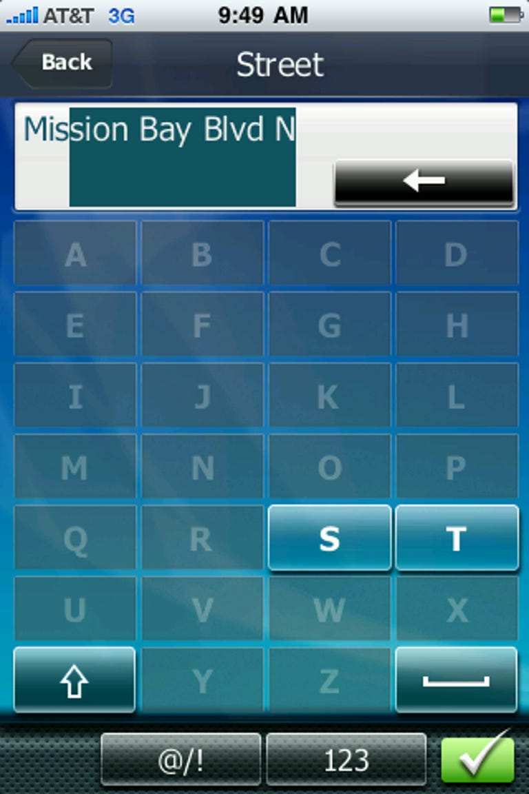
Other positive features that stand out are spoken text-to-speech street names, an oversize on-screen keyboard that's easier to use at an arm's length than the iPhone's default keyboard, native access to the iPhone's contacts list, and graphic lane guidance with digital highway street signs. In-app music control with playlist creation isn't critical to getting from point A to point B, but it's nice to have. 3D building data for major cities may be nice for users who navigate visually, but I think it's more of an eye candy thing than a truly useful feature.
Once you get where you're going, the RoadMate app automatically remembers the location of your car so you can find your way back and can switch to a Pedestrian mode for further navigation on foot.
I got my hands on an advanced copy of the Magellan RoadMate for iPhone app for evaluation and found, for the most part, that it worked as advertised. The app booted quickly and responded snappily to my inputs when tested on an Apple iPhone 3GS. A positive side effect of locally stored maps and POIs is that searching and routing with the RoadMate app is lightning fast, even when calculating four simultaneous routing options.
Having spent the previous week road-testing TomTom's app for iPhone, I was elated to see the huge buttons for the RoadMate app's menus and on-screen keyboard. I also like the flatter, simpler menu system that puts most address and POI searches no fewer than two taps away from the map screen. Predictive text and auto-completion also help to make the RoadMate a much more usable app in an in-vehicle environment.
One very cool unsung feature that I found was the ability to specify an extended city area, such as the San Francisco Bay Area or the Atlanta metro area, rather than naming a specific city which helps for rounding up addresses in smaller towns that may blend into a larger city, such as Emeryville outside of Oakland or Smyrna outside of Atlanta. I've never seen this specific feature on another GPS device, but it's quite useful.
However, my time with the RoadMate app for iPhone wasn't all sunshine, lollipops, and smooth sailing. Like all turn-by-turn iPhone apps, RoadMate relies on the iPhone's GPS antenna and positioning data to function. Unfortunately, the iPhone's combination of satellite and cellular positioning technologies is dumber than a bag of hammers, particularly in urban canyon environments where neither are particularly accurate.
Attempting to navigate to any location in downtown San Francisco quickly devolved into recalculation hell, with the app ordering us down streets I was nowhere near and essentially guessing at where the car was located at any given time.
To be fair, this is more of an issue with the iPhone's positioning than the app itself, as navigation in areas with shorter buildings was less touch-and-go. However, it would be nice to see the app take advantage of the iPhone's built-in accelerometer to interpolate positioning when the satellite signal drops out.
One other nit I've got to pick centers around the interface's comically tiny back button, which can be something of a hard target to hit from a distance, particularly when compared with the other large and colorful buttons on the screen.


Overall, I was pleased with the Magellan RoadMate for iPhone app--almost as pleased as I was with RoadMate 1470. At $79, it's cheaper than most portable navigation devices and nearly as functional. Just be sure to steer clear of the tall buildings.