Microsoft maps get Photosynth panoramas
The Photosynth technology immersing oneself in a virtual view of a location now is integrated with Microsoft's online maps.


- Shankland covered the tech industry for more than 25 years and was a science writer for five years before that. He has deep expertise in microprocessors, digital photography, computer hardware and software, internet standards, web technology, and more.
Microsoft now lets people using its Live Search Maps service get a more immersive view by integrating the company's Photosynth panoramic viewer technology.
Photosynth stitches multiple images together into a 3D view, and people can in effect gaze around from a virtual vantage point. Areas with Photosynth views can be shown in the "explore collections" view of a map that also lets people see photos and other additions to a map.
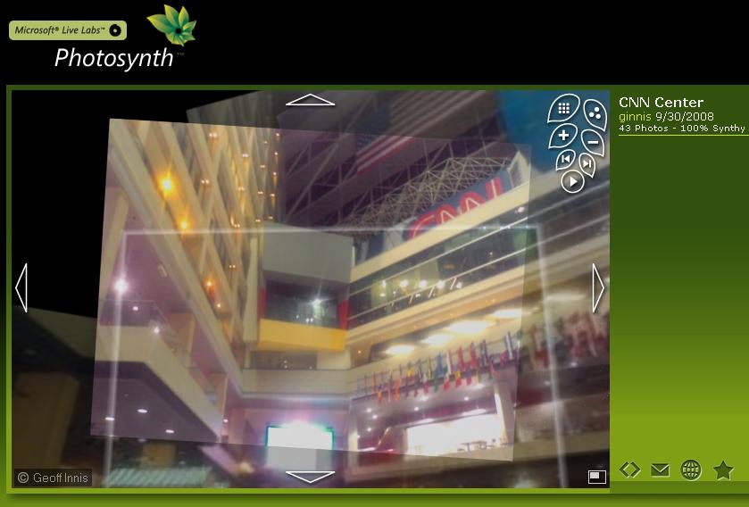
I found the feature easy to use--even the Photosynth installation that had given me some headaches when I tried it during its early days. I still don't like the vast swath of empty green wasted space that could have been used to make the imagery even more immersive, though, and so far there aren't a huge number of places with Photosynth photos.
For full instructions on how to use Photosynth on Microsoft's maps, check the Virtual Earth evangelist's blog from Microsoft.
In addition, Microsoft said Wednesday it added 47 terabytes of new aerial imagery on Wednesday showing new views of Spain, Japan, Canada, the United States, Australia, and assorted European countries, according to the Virtual Earth blog.