Lunar mapping satellite snaps first test images
NASA's Lunar Reconnaissance Orbiter has snapped its first test images, showing the moon's starkly cratered terrain in preparation for the start of mapping operations.


NASA's Lunar Reconnaissance Orbiter, launched June 18 from the Cape Canaveral Air Force Station in Florida, has beamed back its first pictures of the moon as engineers continue instrument checkout and calibration prior to the start of its primary mission.
The LRO spacecraft braked into a highly elliptical orbit around the moon June 23. A series of rocket firings have now placed the satellite in its so-called commissioning orbit, one with a low point of about 19 miles and a high point of 124 miles. Later this summer, it will be maneuvered into a circular 31-mile-high orbit around the moon's poles.
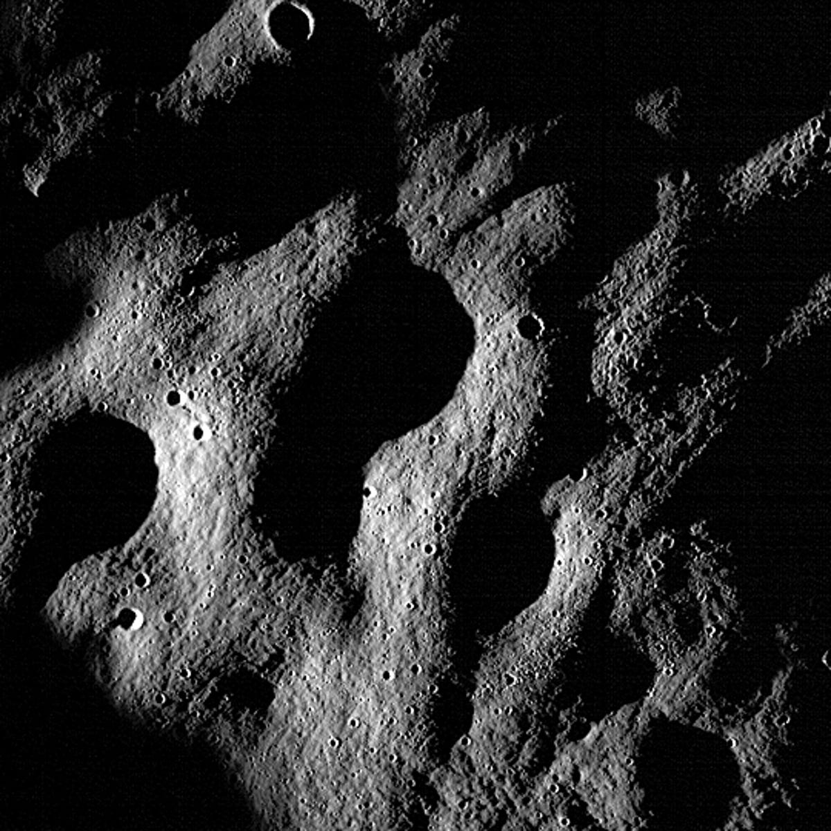
The Lunar Reconnaissance Orbiter Camera, or LROC, was turned on June 30. The first test images showed cratered terrain in the lunar highlands south of the Sea of Clouds. Each picture represents a square measuring 0.87 miles wide.
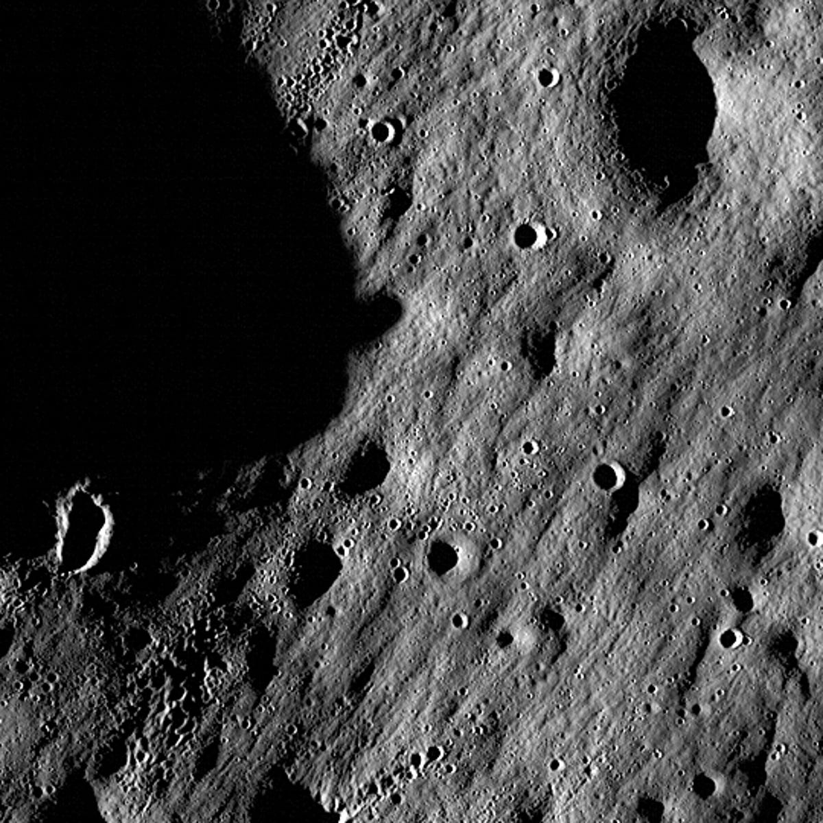
"Our first images were taken along the moon's terminator--the dividing line between day and night--making us initially unsure of how they would turn out," Mark Robinson, the LROC principal investigator, said in a NASA release. "Because of the deep shadowing, subtle topography is exaggerated, suggesting a craggy and inhospitable surface.
"In reality, the area is similar to the region where the Apollo 16 astronauts safely explored in 1972. While these are magnificent in their own right, the main message is that LROC is nearly ready to begin its mission."
The $504 million Lunar Reconnaissance Orbiter was built to look for suitable landing sites for future manned missions while creating the most detailed lunar atlas ever assembled.
The solar-powered spacecraft also will measure the solar and cosmic radiation that future lunar explorers will face and map out the surface topology, mineralogy, and chemical composition of Earth's nearest neighbor. One year will be spent scouting future landing sites followed by three years of purely scientific observations.

A companion spacecraft, the $79 million Lunar Crater Observation and Sensing Satellite, or Lcross, was designed to guide itself and an empty rocket stage to a crash landing in a permanently shadowed crater near the south pole.
With LRO looking on from lunar orbit, the 5,000-pound Centaur stage will hit the surface at some 5,600 mph on October 9, blasting out a 66-foot-wide crater some 10 feet deep.
The debris excavated by the impact will be studied by Lcross, LRO and other Earth- and space-based observatories for signs of potentially valuable water ice.