Google Street View now in 50 different countries
The search giant has just added Hungary and Lesotho to its list of Street View-enabled countries.


Google Street View is now snapping panoramic pictures in 50 countries around the world.
The mapping service reached its 49th and 50th countries on Tuesday by launching in Hungary and Lesotho, according to the Google Maps blog. In addition, Street View has expanded its coverage in Poland, Romania, and other spots. In total, Google updated its Street View images for almost 350,000 miles of roads throughout 14 countries.
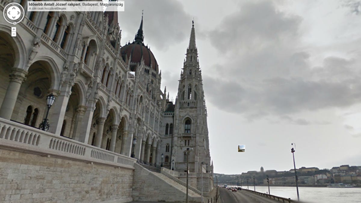
The images of Hungary include a view of the Hungarian Parliament building, a walk across the Chain bridge, and a peek at the Buda castle.
Lesotho, a country surrounded by South Africa, is the only independent state in the world situated entirely at 3,281 feet or more above sea level. As such, Street View images unveil some of the country's many mountainous regions, as well as such landmarks as the Lesotho Evangelical Church.
Launched in 2007, Google Street View kicked off with images of five cities in the U.S. It now covers 5 million miles of byways throughout the world.