Google reveals its first map of pollution data
Block-by-block air quality can be seen, providing street-level insights into where pollution is coming from.


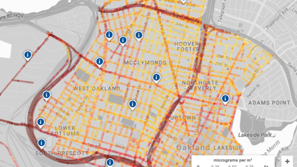
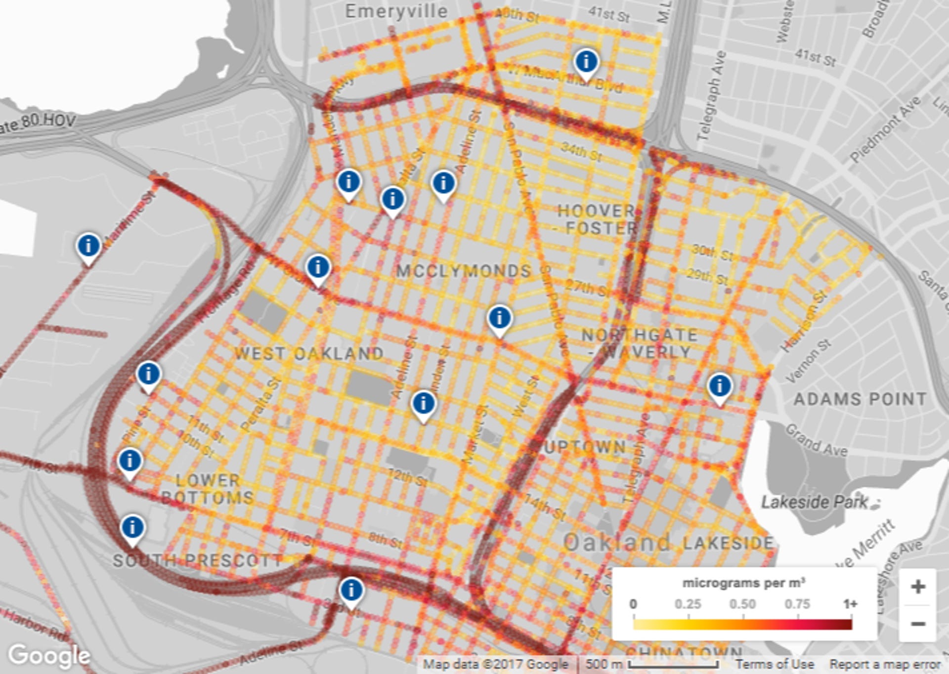
If you use Google Maps, you're used to adding layers to see live traffic information. Today, Google released its first map, showing block-by-block air quality information for Oakland, California.
Google collected the data using the company's street view cars equipped with sensors developed by Aclima -- a company known for its environmental sensors. Google also partnered with the Environmental Defense Fund for this project, which the search giant first announced in 2015.
According to Google's blog post, the search giant has big goals for this data: the street-level insights could help community groups and scientists gain a foothold in a battle for better air quality. Google and Aclima have captured data for more than 70,000 miles across California. Hopefully, results for other cities will be released soon.