Google Maps gets 3D view of the world
Earth view brings depth to Google's mapping service. It needs a browser plug-in for now some day we'll be cruising in 3D in Google's virtual world.


- Shankland covered the tech industry for more than 25 years and was a science writer for five years before that. He has deep expertise in microprocessors, digital photography, computer hardware and software, internet standards, web technology, and more.
Google on Monday augmented Google Maps with a feature called Earth view that brings the Google Earth software's 3D perspective to the Web browser.
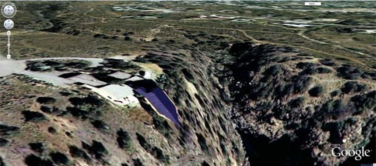
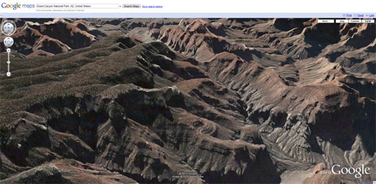
Earth view is available through the installation of a browser plug-in Google originally issued in 2008. With it, people can see the contours of world--canyons and mountains, most dramatically--using the Google Earth fly-through interface.
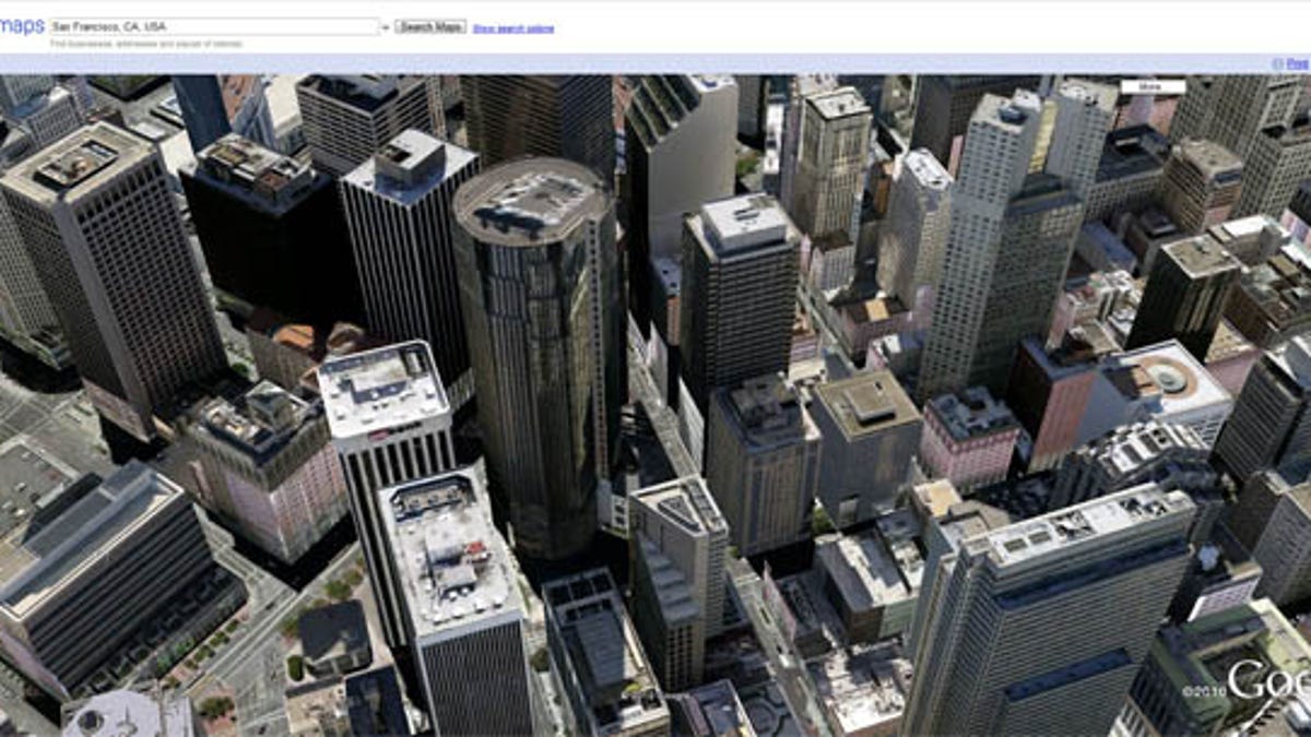
Places with 3D building models look more interesting from ground level, but if your suburb hasn't received that treatment, the perspective mismatch can be a bit awkward when viewing the scene from an oblique angle farther from perpendicular.
You can try flicking the mouse to pan around, scrolling the mouse wheel to zoom in and out, and using Cntrl-drag to tilt the view from perpendicular to a more oblique angle. Google announced the Earth view on its corporate blog.
Here's how Google Product Manager Peter Birch described Earth View on the Lat-Long blog: "Those of you who aren't as familiar with Google Earth might be wondering how Earth view differs from the satellite view that's currently available in Maps. First of all, Earth view offers a true three-dimensional perspective, which lets you experience mountains in full detail, 3D buildings, and first-person dives beneath the ocean."
Here's my forecast for where this is headed: Eventually Google will have constructed an immersive 3D reproduction of the entire world that you can explore. How complete and up-to-date this virtual world will be remains to be seen, but the company is even photographing store interiors.
There's a ways to go, though. For one thing, Earth view at present lacks the rich interaction of traditional Google Maps service, including street names and travel directions. For another, in areas with approximate contour data, Earth view can look like somebody stretched a rubber sheet with a satellite photo over a swoopy, curvaceous version of the world.
The Golden Gate Bridge, exists both with a nice 3D model above the Bay and as a spooky satellite-photo version that creeps across the underwater contour. The sparkling water surface looks very nice, though.
Change is afoot with the computing technology required to deliver this experience, so don't expect a permanent requirement for the plug-in requirement--a requirement that will keep most people from using it, most likely. Google is among the browser makers backing a 3D Web technology called WebGL for built-in 3D that can tap into a computer's graphics chip for acclerated performance. And Google also is rebuilding its higher-level 3D Web technology, O3D, on a WebGL foundation.
Microsoft is working on its own 3D view of the world with Bing Maps. Microsoft's technology, which requires the company's Silverlight plug-in, is different, though: it shows an immersive street-level view based on shots taken from the street.
With 3D glasses, though, Google wants to go deeper. Google has been gathering 3D Street View data since at least 2008, and for April Fools' Day, it showed 3D Street View imagery for those with old-style red-and-blue 3D glasses. I'd guess that in the glorious future when 3D display technology is more common, we'll all get it.