Google adds terrain, vegetation imagery to Maps
The company makes the latest of several improvements to Maps this month.


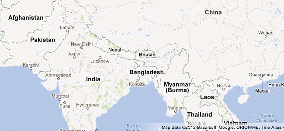
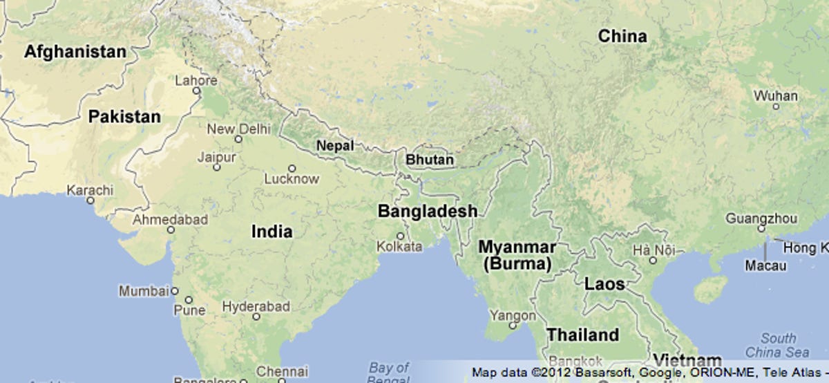
Google freshened up the imagery inside Maps today, adding new visual information to convey terrain, vegetation, and natural land formations.
Color shading now shows vegetation more clearly, and text labels highlight land formations. "This enriched visual data allows you to quickly and easily see where the great forests, deserts, and mountain ranges around the world begin and end," the company said in a blog post. "It also conveys how natural land formations can impact where, how and why man-made developments like urban cities, dams and bridges are made."
Here's what maps looked like before:
And after:
The Maps team has been on a tear in October, just as public scrutiny of rival mapping solutions has intensified. This month Google Maps sent a Street View team to the Grand Canyon, added millions of new buildings, and launched its biggest Street View update so far. Taken together, the moves show the Google Maps team taking every chance to extend its lead over competitors like Apple.