Google adds 45-degree imagery to 60 more cities worldwide
The new 45-degree imagery can be seen in 40 U.S. cities and 20 international cities.


Google has updated high-resolution aerial and satellite imagery for scores of new cities, bringing 45-degree imagery to a host of new locales around the globe.
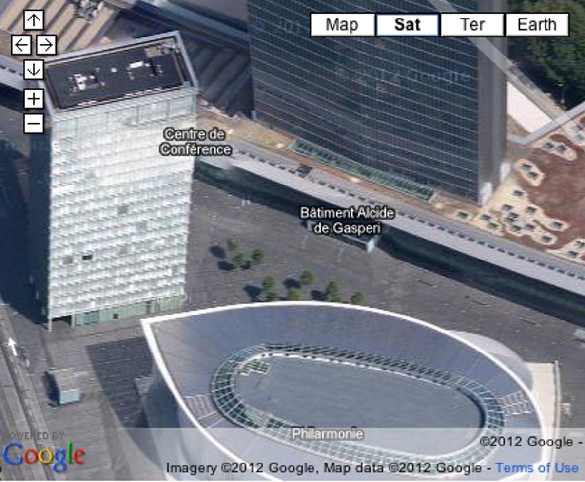
In Maps-speak, 45-degree imagery refers to angled photography that shows off buildings in multiple dimensions. While it gives buildings a more three-dimensional appearance than standard overhead views, it is not considered 3D imagery. Currently 3D imagery is limited to selected locations in Google Earth.
In a blog post, Google's Eric Kolb said imagery in Google Maps and Google Earth has been updated for 164 cities and 108 countries and regions. Most prominent among the upgrades are the 40 U.S. cities and 20 international cities that have been updated with 45-degree imagery, which enables more in-depth views of the cities it covers.
U.S. cities with the new 45-degree imagery include Baltimore; Madison, Wis.; Portland, Maine; Rockford, Ill.; and Youngstown, Ohio, among others. International cities with the update include Leipzig, Germany; Nantes, France; and Saskatoon, Canada.
The move follows a previous big imagery update in September. For a complete list of the newly updated cities, check out Google's blog post.
Correction, 3 p.m.: This blog post has been changed to reflect the fact that the added photography in Google Maps was taken from 45-degree angles and does not constitute true 3D imagery.