Drones and digital models make infrastructure inspections safer and more accurate
Aerial imaging, combined with machine learning and predictive analysis, makes it possible to predict needed structural repairs.


Why put a person in a dangerous situation when a robot can do it for them?
In recent years, drones have moved from being a rarity in infrastructure inspections to becoming common. Dams, bridges and other systems need regular checkups to guarantee there are no dangerous cracks or other damage. Traditionally, these operations require professionals rappelling down. If you provide them with drones, these inspections become safer, more accurate and more affordable, which means that teams can perform more.
"Drones are able to see things and get to certain areas that a traditional rope inspection might not allow due to access constraints," says Cameron Schaefer, the transportation data acquisition lead at HDR, a company specializing in engineering, architecture, environmental and construction services that has been using drones for the past three years. The program has grown from five pilots to more than 20, trained to deal with situations like high winds or emergency landings.
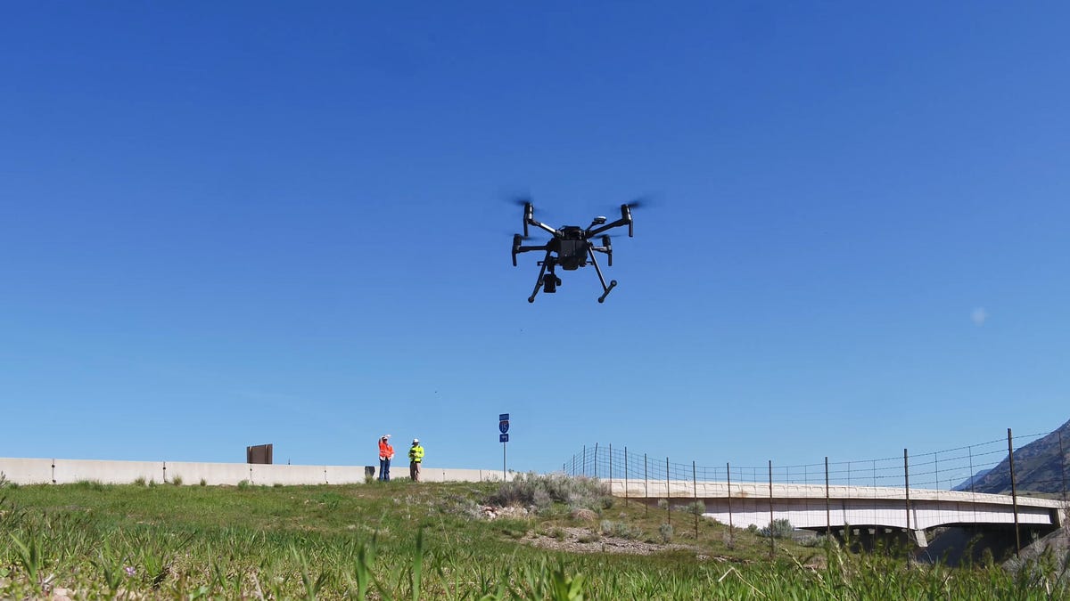
The needs of the operation will determine the planning and the hardware used. In some processes, simple consumer devices may be enough, while others require specialized equipment. Capturing 8,000 images will deliver a higher precision than 2,000, and some drones are well suited for certain areas but very limited in others.
Take the inspection of Diablo Dam in northern Washington state, for example. Last summer, HDR took its drones to complement the assessment of this 389 foot-tall structure, which supplies Seattle with electricity. The result was more than 82 million data points that create a 3D representation, documenting the condition of the dam and the areas that need repair.
The team tied the images captured by the drone to ground-control data and engineering drawings to create a virtual model of the dam that can be updated later with additional data -- including information from other technologies, such as ground-penetrating radar. This way, the model can become more effective over time, and the team can anticipate the structural repairs that will be needed using machine learning and predictive analysis.
The result, says Schaefer, it's not only an increase in safety: "It's an increase in quality. It's an increase in accuracy. It's an increase in historical monitoring."