Avoid crowded public transportation with Google Maps' new features. Here's how
Trains and buses are running at full capacity, but Google's AI technology will help you bypass the crowds.


Google Maps now serves up transit crowd predictions in 100 countries.
Google Maps is adding transit crowd predictions covering 10,000 transit systems in 100 countries, making it easier for you to tell how busy your train or subway line will be, even down to each car.
The transit predictions are based on AI technology, user feedback and location trends over time, the search giant said Wednesday. And in New York and Sydney, the crowdedness indicator goes down to a car-by-car level -- so you'll have an idea of which parts of the train to avoid.
Transit ridership plunged during the pandemic, but as vaccines roll out in many areas worldwide, use of transit directions on Google Maps has increased 50% compared to last year in the US, according to Google. But even as we return to our normal travels, it will still take time for many people to feel comfortable in crowded places like a packed subway.
While the Google Maps update is now available for iOS and Android users, Android users who enable location tracking will also see a new tab in your timeline with traveling trends based on your location history. You'll be able to see how much time is spent at your favorite shops, and which modes of transportation you used most. Google Maps also lets you relive past trips by saving places from your timeline and sharing them with friends.
Google said privacy and security remain a priority, and that the Maps update will use anonymization technology and differential privacy to keep your location history private.
We'll show you how to easily use these new features for a smoother trip. If Google's predictions are right, you'll have a comfier commute (and hopefully a seat). You can also see our favorite Google Maps tricks and how to stop Google from tracking you (Hint: You'll need to do more than disable your location).
How to check for crowded public transportation with Google Maps
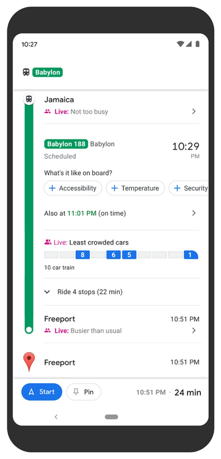
Check how crowded a train is with a Google Maps update.
1. Open Maps, type in your destination and tap Directions.
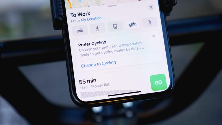
2. At the top of the screen, select your your transportation preference (for example, bus or subway).
3. Select your route, if there are multiple ways to get there.
4. When you're reviewing your route you'll see a section under the public transit section that asks "What's it like on board?" You'll see a message that says "Not too crowded," "Very crowded," or other prediction messages.
5. If you get on a train or bus that Google Maps predicts not to be too crowded, but it's busier than the app says, you can change the prediction by tapping on the alert and selecting if it's crowded or at capacity based on what you see. All submissions are public.
You may also see a message that says "Public transport services are modified due to COVID-19" to tell you if masks are required or any other pandemic precautions. You can also check for accessibility features, the temperature and if there's security on board.