5 iPhone navigation apps better than Apple Maps
Apple Maps is good, but these apps might be better.


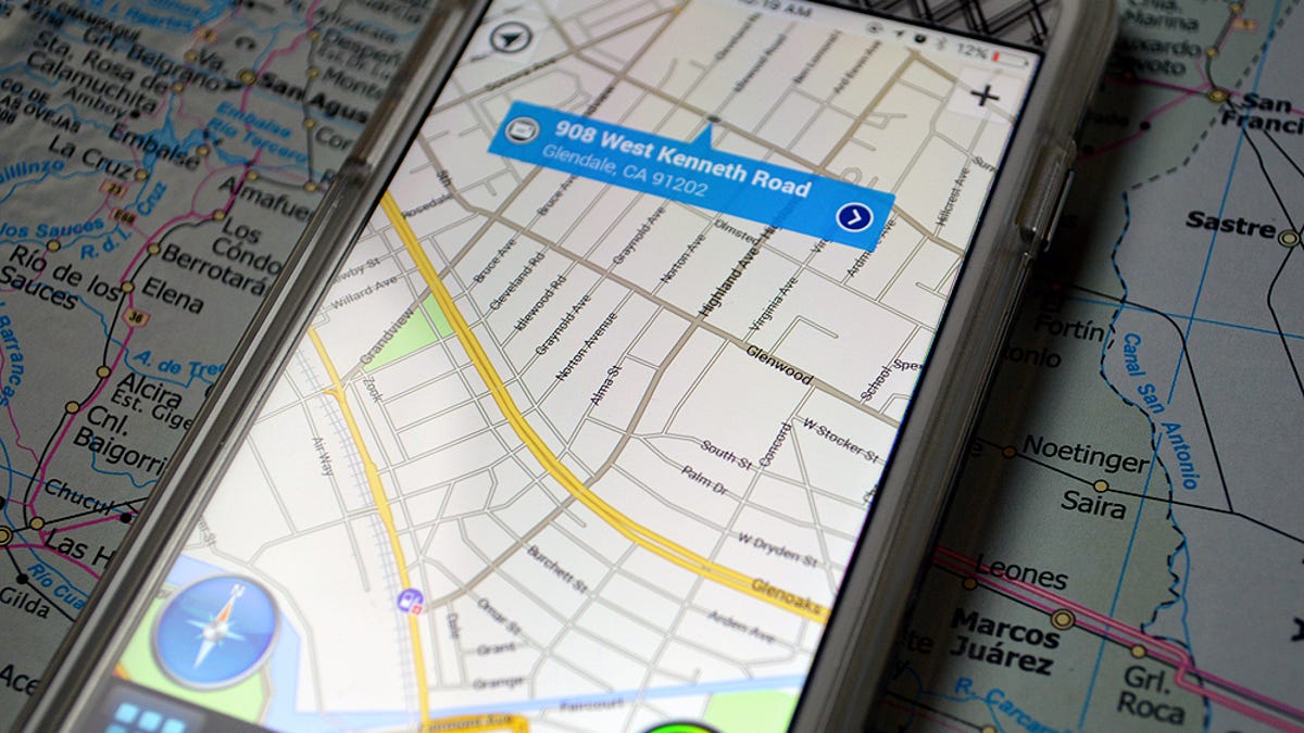
Apple 's built-in navigation app may be popular (possibly because it's, well, pre-installed on every iPhone ), but it might not be the best navigation app for you. Luckily, you have plenty of options for your mobile navigation needs, from general mapping apps like Google Maps to specialized public transit apps like Transit. If you're not sold on Apple Maps' 3D flyover as a must-have feature, here are five alternative apps to check out.
Google Maps
Before Apple had its own Maps app, there was Google Maps. And, well... Google Maps is still here, it's just a third-party app that you need to download from the app store instead of a pre-installed app on your iPhone.
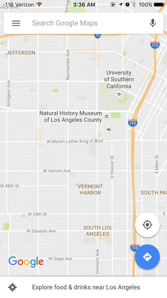

Apple Maps is pretty good when it comes to turn-by-turn directions, real-time traffic updates and mapping points of interest -- but Google Maps for iOS is better. Not surprisingly, Google Maps has a more robust search feature and a bigger, more accurate database of local landmarks, points of interests, restaurants and businesses. Google Maps for iOS is also particularly useful if you use Google Maps as your primary direction-finding service on your computer, because the app pulls directions and search information from other platforms (when you're signed in with your Google ID). The app also offers Street View, Google and Zagat reviews, and turn-by-turn directions with the option to avoid highways, toll roads and bridges.
Waze
Most navigation apps -- including Apple Maps and Google Maps -- use a mix of historical and real-time smartphone data to predict traffic conditions. Waze takes a different approach. This driving-focused app, which was acquired by Google in 2013, uses crowdsourced data from its millions of users to accurately portray traffic delays.

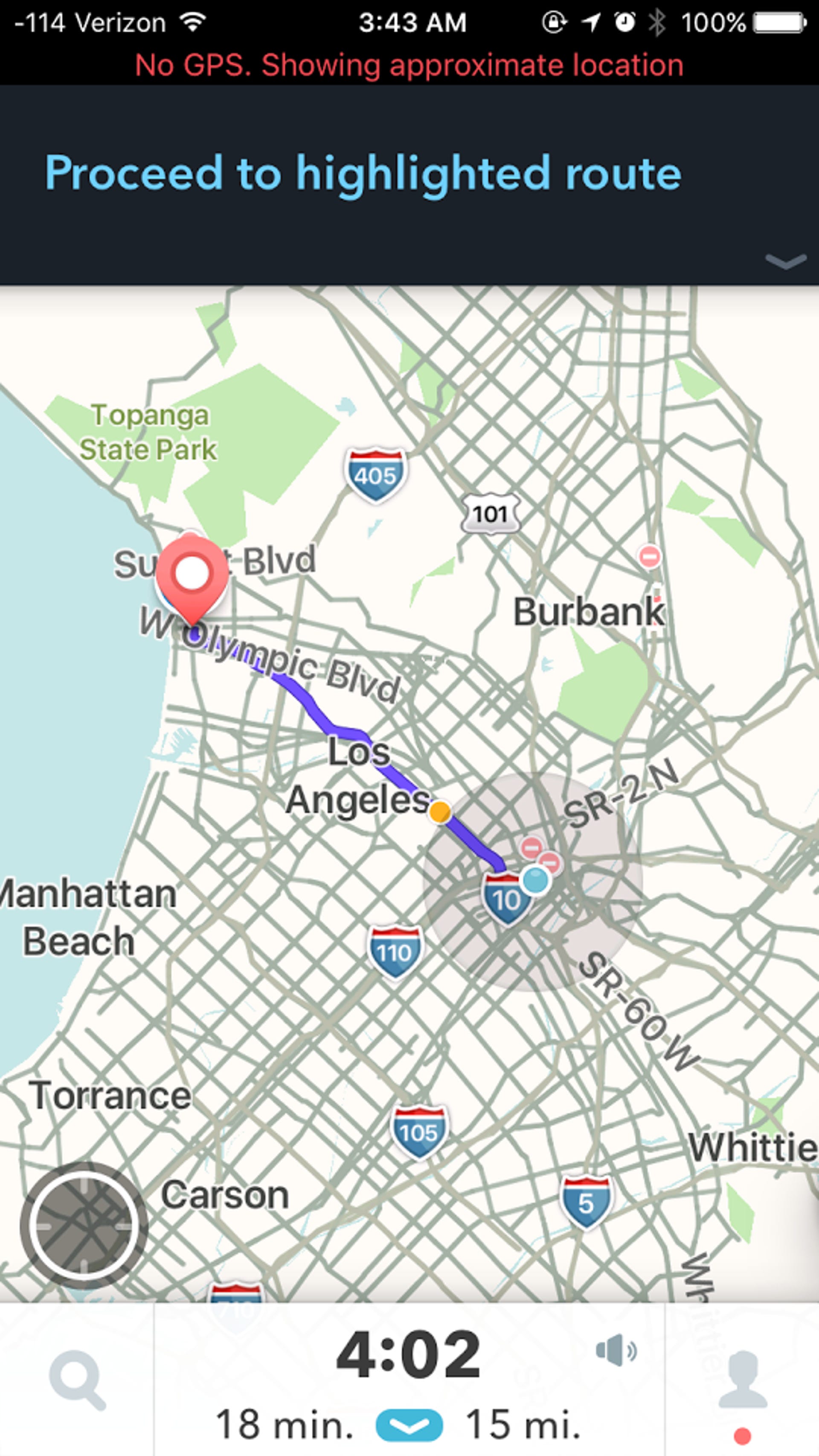
The app helps your commute run smoother by alerting you to a variety of road blocks and incidents, including accidents, speed traps, and speed cameras. Waze has a driver-friendly interface (complete with large icons and voice input) and is being integrated into Android Auto. Most recently, Waze added a feature that lets you control Spotify without ever leaving the app and vice versa.
CoPilot GPS
Apple Maps, for the most part, requires an internet connection to work. But CoPilot GPS is designed for those times when you have no connection but you need directions -- when you're in another country, when you're in the middle of nowhere, or when you're just trying to stay under your data limit. CoPilot GPS is an offline navigation app that's technically free, though if you want to use it for navigation, you'll probably want to purchase some of its premium upgrades.
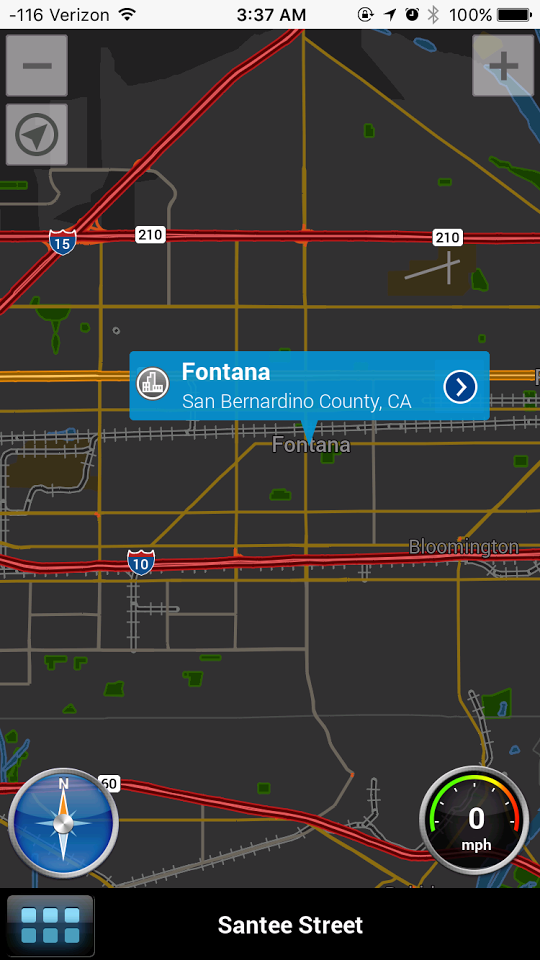

While other maps apps allow you to download a portion of a map for offline use, CoPilot GPS lets you access the entire map -- including individual roads and points of interest -- offline. You'll need to download each map prior to going offline, of course, and these maps aren't small -- the North America package will take up 2.36 GB of space on your phone's hard drive. CoPilot GPS gives you North America, which includes the United States and Canada, for free, and charges you between $13 and $25 for additional territories. The app also upsells you on premium features, including voice-guided turn-by-turn direction for $10 outright and ActiveTraffic for $10 per year.
Transit
Both Apple Maps and Google Maps offer directions for non-drivers -- such as walkers and people taking public transit -- but these directions are limited to simple step-by-step navigation and are based on schedules (not necessarily service disruptions or other delays).
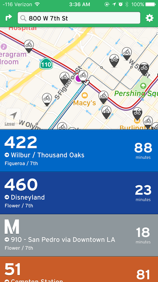

Transit, on the other hand, is a free app dedicated to all things public transit -- from buses, subways and trains to ferries and bike shares (in select cities).
The app, which is available in over 125 cities in the US, Canada and Europe, offers detailed step-by-step navigation that includes alerts so you'll always know if that's your bus at the station, or if you're about to miss your stop. The app also keeps you updated on delays, allows you to view transit routes and time schedules, and integrates with bike shares and car-sharing services like Uber and car2go -- in case public transportation isn't working for you.
MapQuest
Before Google took over the entire internet, MapQuest used to rule the online mapping game. For what it's worth, the AOL-owned business still exists (and, in fact, has the second-highest share of the US market in online mapping) and offers a free navigation app of its own. MapQuest for iOS has a slick monochromatic interface, turn-by-turn navigation and real-time traffic information and rerouting. The app also integrates with car-sharing services such as Uber and car2go, and can help you decide whether it makes more sense to drive yourself or grab an Uber by comparing cost and ETA.

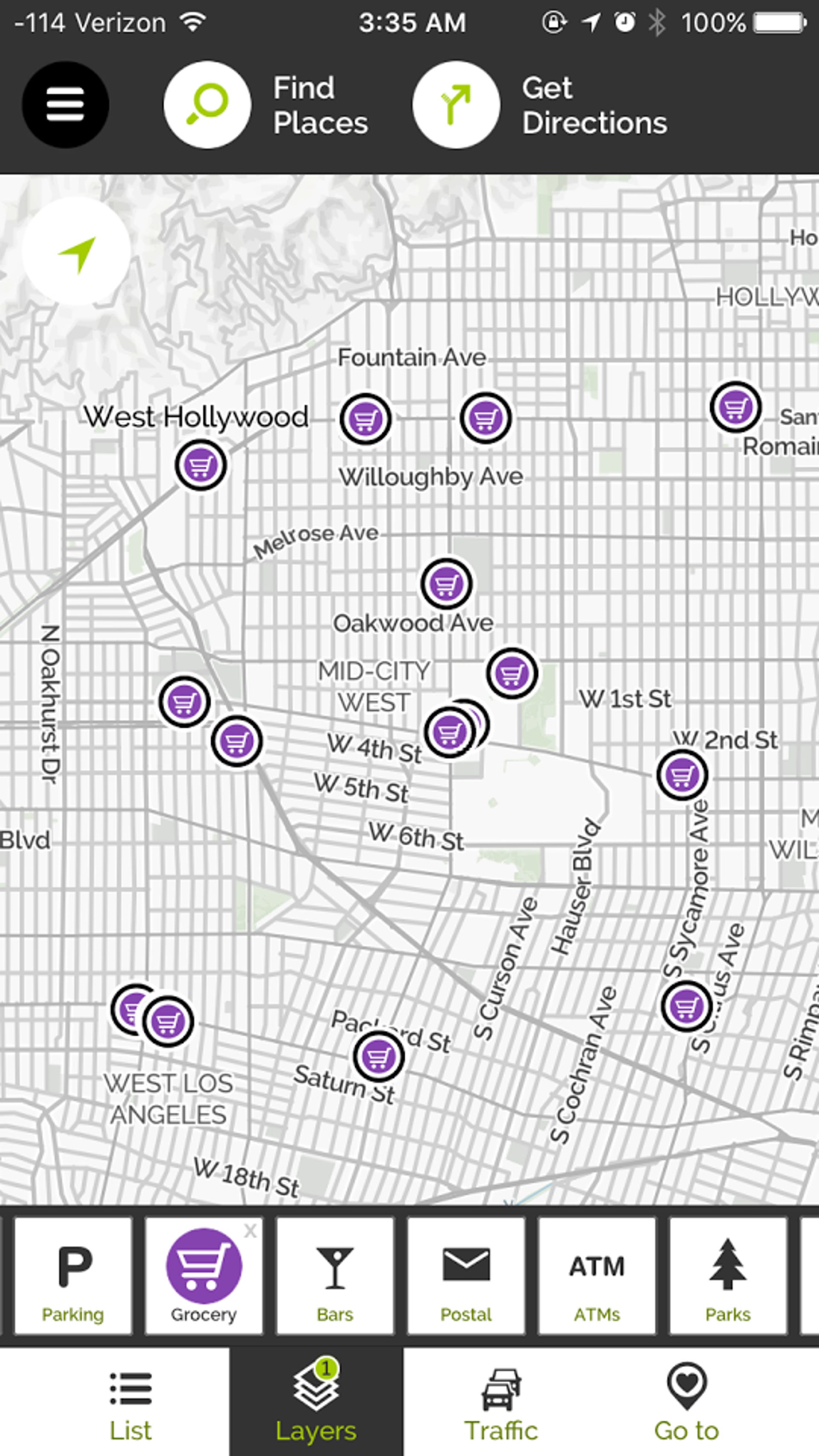
MapQuest also uses map layers to help you find nearby restaurants, hotels, gas, parking, grocery stores, post offices and other points of interest (POIs). Each layer brings up new, relevant information about POIs, including Yelp reviews, gas prices and the ability to book hotels directly from the app.