Waze pivots to help you locate coronavirus testing, emergency food distribution
It's also working to have up-to-date road closures and red zones on its maps.


- I've been covering technology and mobile for 12 years, first as a telecommunications reporter and assistant editor at ZDNet in Australia, then as CNET's West Coast head of breaking news, and now in the Thought Leadership team.
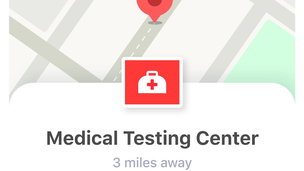
During the spread of COVID-19, Waze is providing data and mapping on road closures, red zones, medical testing centers and emergency food distribution centers. Its working with volunteer map editors and governments globally, and also has in-app reminders for local restrictions such as lockdowns and quarantines in 58 countries.
Waze has so far added 30,000 emergency food distribution centers to its US maps after partnering with WhyHunger and No Kid Hungry.
"Before COVID-19 hit, 37 million Americans were struggling with hunger," Noreen Springstead, executive director of WhyHunger, said. "By integrating our database of tens of thousands of food providers into Waze, we will help serve even more people who are so deeply affected by this national crisis and connect them with one of life's most critical resources: nutritious food."
Waze is also working to help you support local businesses during the coronavirus pandemic by adding a feature to identify food locations with curbside pickup and drive-through options.
Waze users are driving 60% fewer miles, the mapping app said Wednesday. In Italy, driving has dropped by more than 90%.
Coronavirus updates