NASA satellite gets a 3D view of Sandy's eye
With tropical-storm force winds about 1,000 miles across, Sandy is a monster. NASA's radar view of its eyewall shows "remarkable vigor" for its Category 1 status.


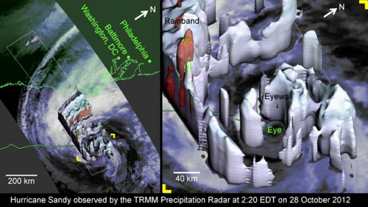
Just in case your visual cortex hasn't been flooded with hurricane graphics yet, NASA has this interesting view of Sandy's interior.
The image was generated based on data gathered by the Tropical Rainfall Measuring Mission (TRMM) satellite, part of a mission jointly run with the Japan Aerospace Exploration Agency (JAXA).
Launched in 1997, the satellite can measure rainfall and cloud heights in tropical cyclones, which include hurricanes like Sandy and the typhoons that frequently lash the Japanese archipelago, such as Typhoon Tip, the largest of its kind on record.
Sandy is apparently the largest ever in the Atlantic and one of the largest storms to hit the U.S. The TRMM radar imaged its 25-mile eyewall, an area marked by tall clouds and violent updrafts.
The eyewall contained relatively light precipitation and weak updrafts, according to NASA.
"But placed in context, the TRMM-observed properties of Hurricane Sandy's eyewall are evidence of remarkable vigor," it added in a release.
"Most hurricanes only have well-formed and compact eyewalls at category 3 strength or higher. Sandy was not only barely a category 1 hurricane, but Sandy was also experiencing strong wind shear, Sandy was going over ocean typically too cold to form hurricanes, and Sandy had been limping along as a marginal hurricane for several days."
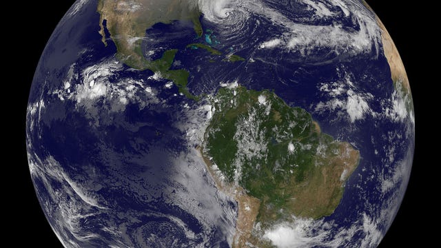
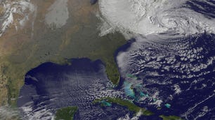
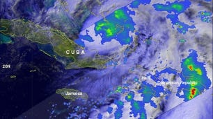
Packing maximum sustained winds of 90 mph, Sandy is headed for southern New Jersey and is expected to make landfall early this evening, according to the National Hurricane Center. Check out more pics of the Frankenstorm in our gallery above.
And hold on to your hats, everyone.