The Go LA app will show you all the ways to reach your destination
Whether it's public transportation, ride sharing or just a bicycle, Go LA will get your across Los Angeles by any means necessary.


Current mobile map solutions (Apple Maps, Google Maps et. al) typically offer a couple different ways to cross town, be it by train, car or your own two feet. Thanks to a new app from Lyft, Xerox and the city of Los Angeles, residents and visitors will be able to add ride sharing to the mix and can look for the greenest route from point A to point B.
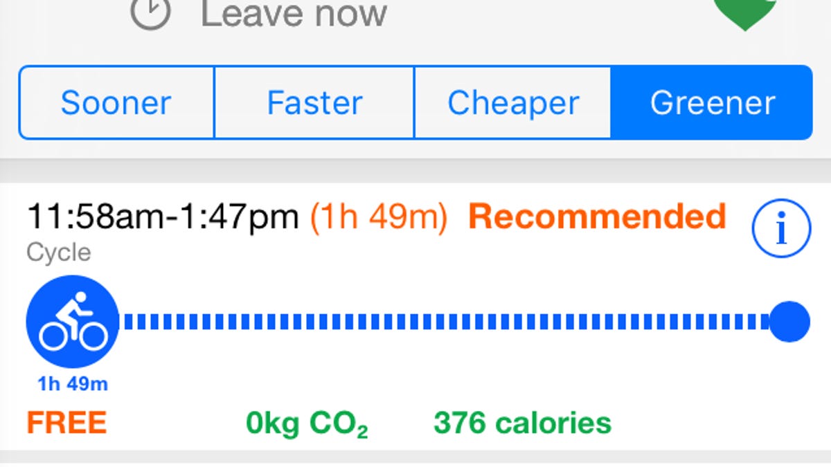
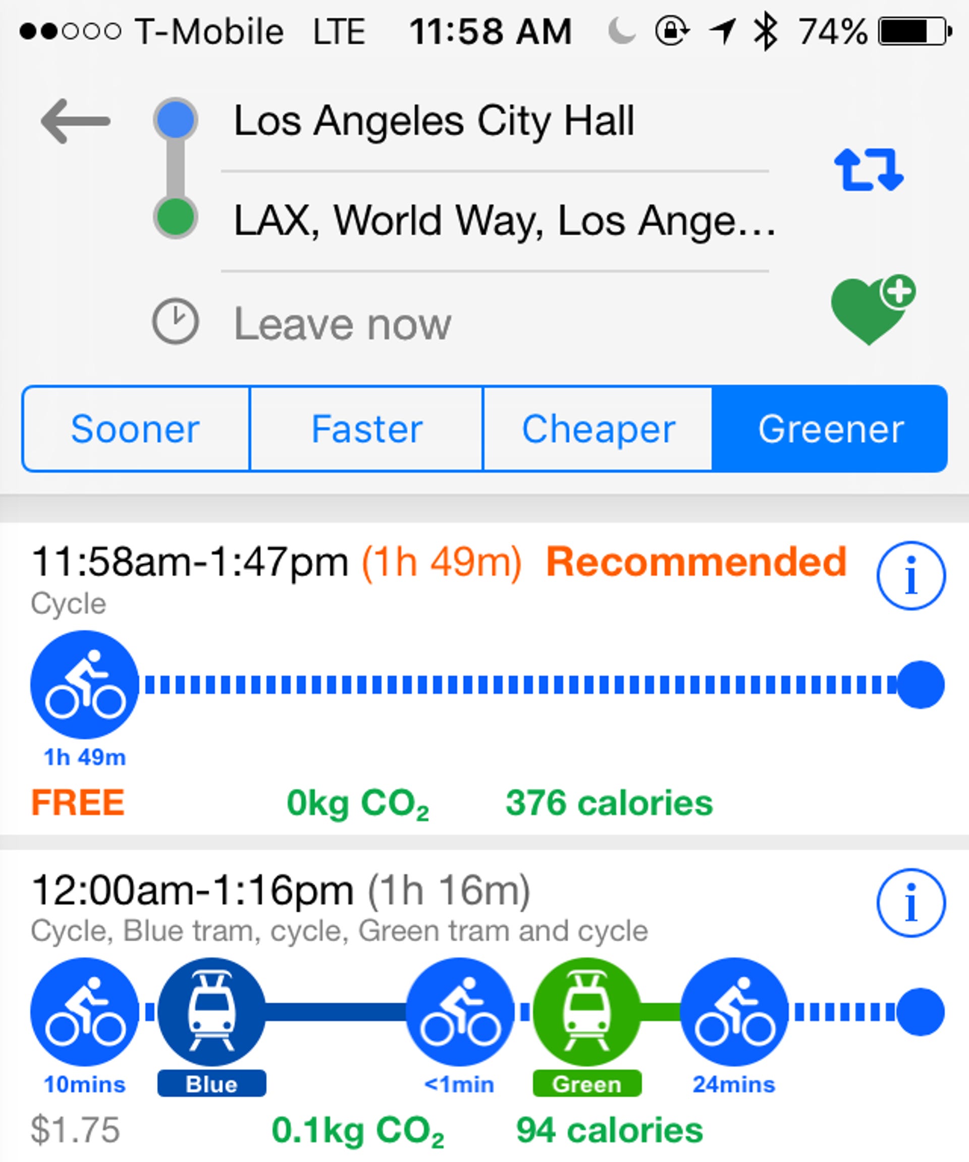
The Go LA app attempts to work out some of Los Angeles' famed congestion issues by showing denizens a wide variety of ways to get across town. You can filter results by time, cost or environmental impact. For example, the quickest way across town might involve walking, Zipcar and public transportation, or taking a Lyft to the train.
"If we put our heads together across public and private sectors, we can find solutions that support Angelenos in getting in, through and around Los Angeles in the easiest way possible," said Seleta Reynolds, LA's Department of Transportation manager, in a statement.
Traditionally, public and private sectors have not integrated their offerings. BMW has something similar, called intermodal routing, which is baked into the navigation system of its i3 and i8 vehicles -- if public transportation will get you to your destination faster, the nav system will direct you to a parking spot and tell you where to go from there. Go LA is similar, but it's not limited to a single automaker or service.