A people's view of Mars (images)
NASA releases images that resulted from its decision to let the general public choose the Martian targets for its HiRise camera.


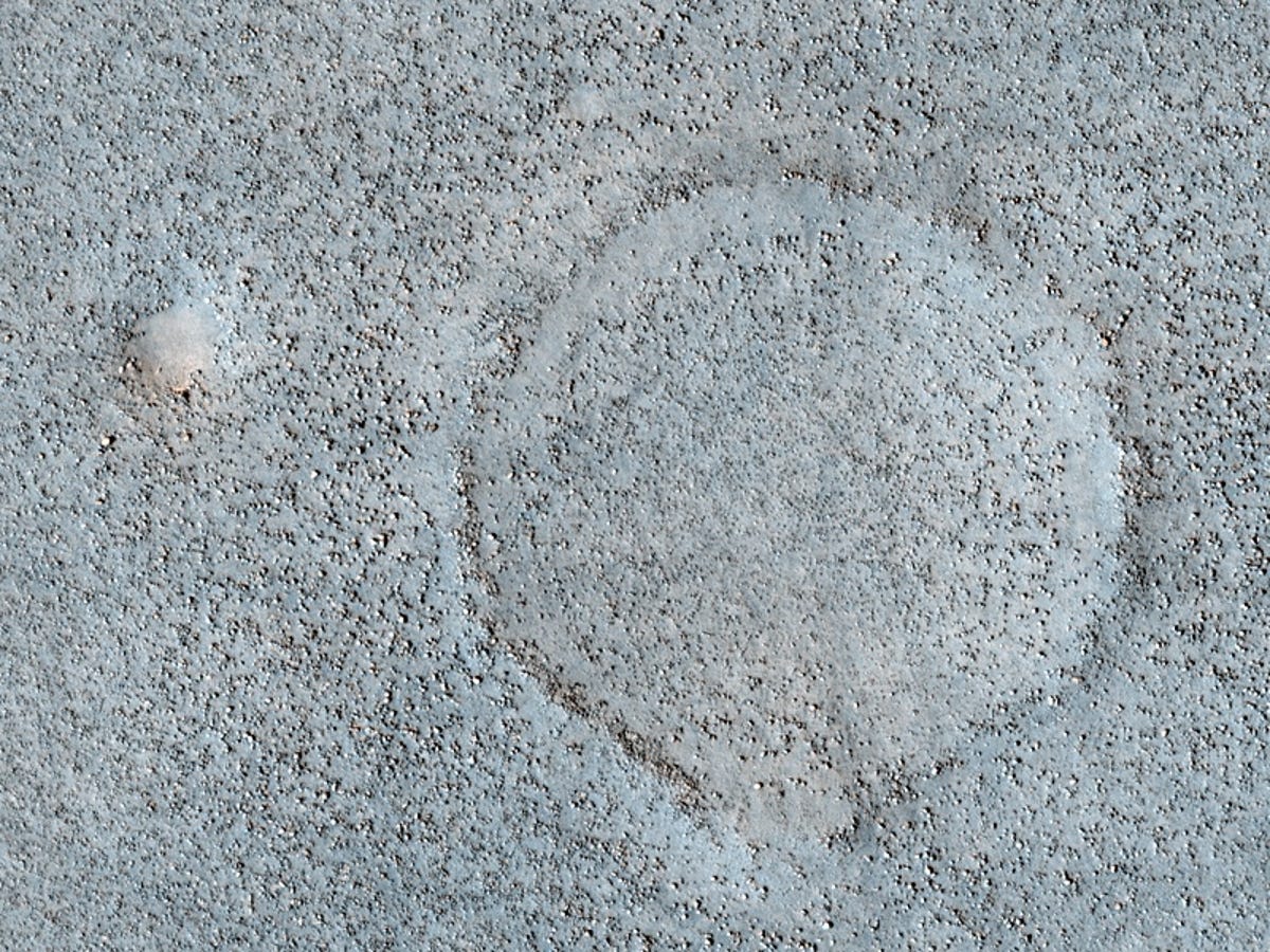
Boulder-strewn plain in Northern Utopia Planitia
NASA on Wednesday released some of the shots that resulted when it handed over command of the HiRise camera aboard NASA's Mars Reconnaissance Orbiter and let the general public choose its Martian targets.
Since January, NASA has been accepting recommendations from the public for where its High Resolution Imaging Science Experiment, nicknamed "the people's camera," should focus on Mars. About 1,000 have been suggested through the so-called HiWish program already, according to a NASA statement, but so far only eight actual images have been released.
This image shows the common landscape of the northern plains, which are covered in scattered rocks and boulders. The area shown is about about two-thirds of a mile wide.
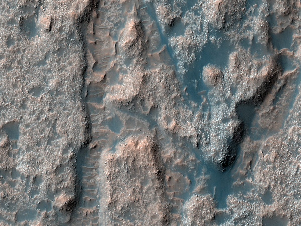
Mesas in Aureum Chaos
The HiWish program isn't the first time NASA has opened up its research cameras to the public. In 2003, the agency began taking public recommendations for the Mars Global Surveyor as it mapped the Martian surface. Another camera aboard the Mars Odyssey orbiter began taking public suggestions in 2009.
You can make a suggestion for HiRise at http://uahirise.org/hiwish.
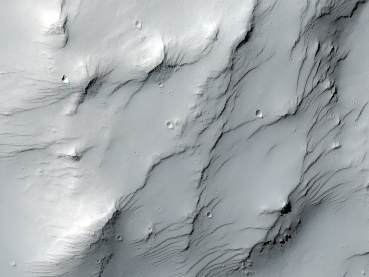
This image shows an area about two-thirds of a mile wide and shows the textured surface that NASA theorizes was created as the loss of groundwater or ground ice caused the ground to collapse, forming deep valleys and hills.

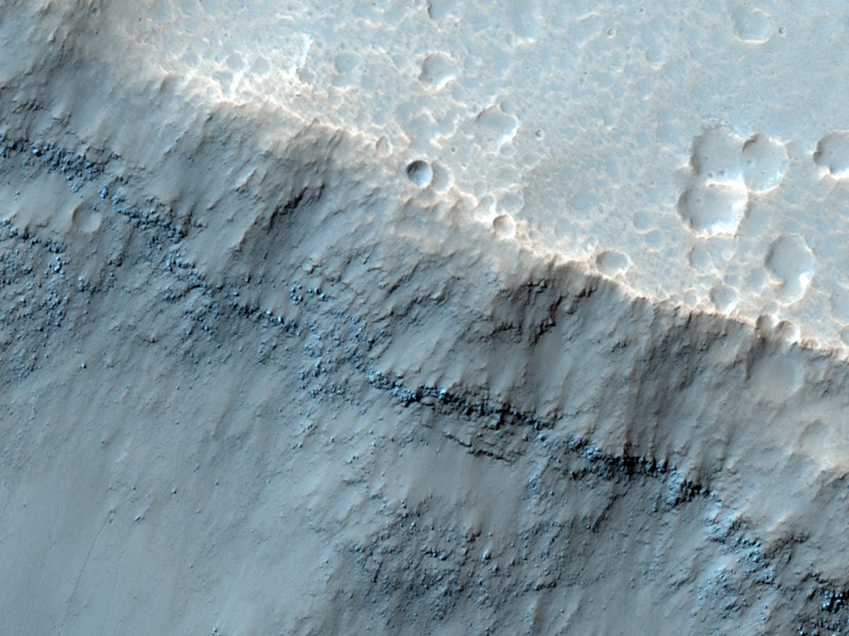
Collapsing volcano: Edge of Olympus Mons
Dunes on floor of Samara Valles
This shot, taken from the HiRise camera, shows one of Mars' longest systems of valleys, called the Samara Valles. The valley system covers more than 621 miles of the Martian surface.
The false-color images taken by HiRise use three color filters--red, infrared, and blue-green--so they do not appear as the human eye would see them, but are able to more clearly display surfaces details.
Deposits on the floor of Palos Crater
Dust-mantled topography near Zephyria Tholus
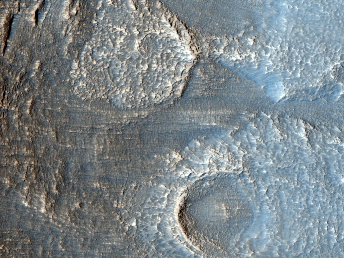
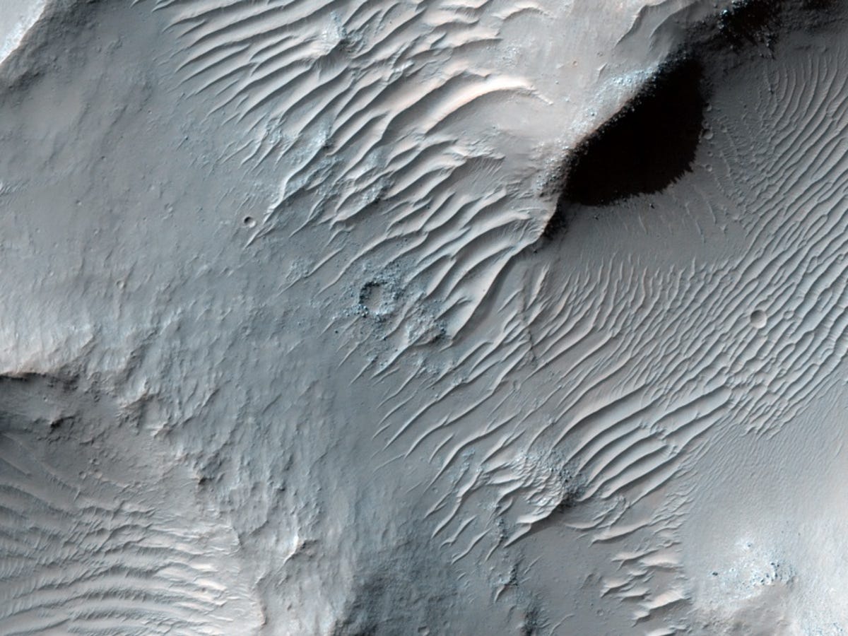
Lobate debris apron in Deuteronilus Mensae
This image shows the terrain of the Deuteronilus Mensae region, which sits in Mars' northern hemisphere. The area is defined by mesas surrounded by "lobate debris aprons" that are thought to be ice-rich, according to NASA.
The agency says it suspects these aprons are made up of a variety of possible features including rock glaciers, ice-rich mass movements, or debris-covered glacial flows. Recent radar data indicates they may be made of nearly pure ice. This HiRise image shows an area at the edge of one of these mesas with a lobate debris apron extending from its base.
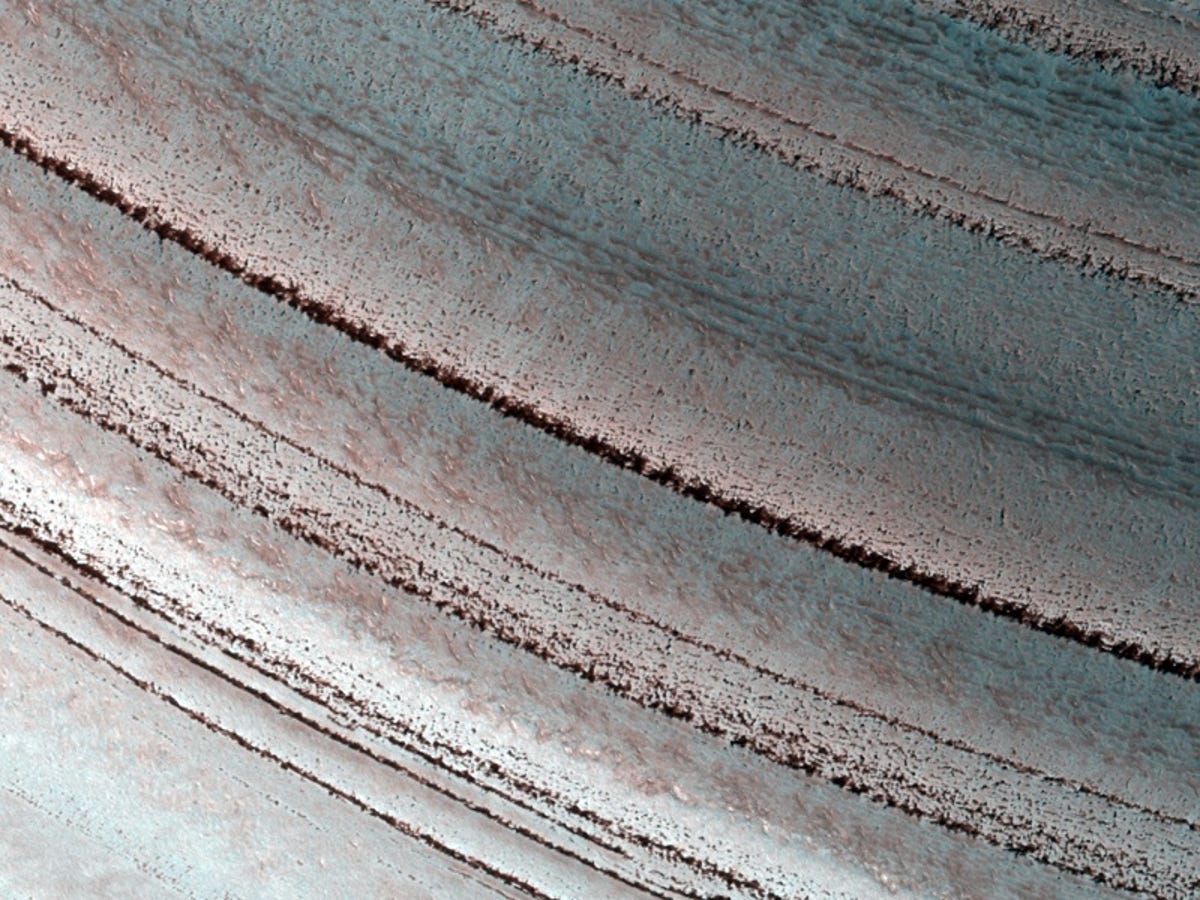
Icy layers near the Martian north pole
For more images from the Mars Reconnaissance Orbiter, see "Photos: Mars orbiter's abstract impressions."
More Galleries

My Favorite Shots From the Galaxy S24 Ultra's Camera
20 Photos
Honor's Magic V2 Foldable Is Lighter Than Samsung's Galaxy S24 Ultra
10 Photos
The Samsung Galaxy S24 and S24 Plus Looks Sweet in Aluminum
23 Photos
Samsung's Galaxy S24 Ultra Now Has a Titanium Design
23 Photos
I Took 600+ Photos With the iPhone 15 Pro and Pro Max. Look at My Favorites
34 Photos
