NASA satellite captures lava destruction from Kilauea volcano
Lava everywhere! NASA's Terra satellite can still see the damage caused by flowing lava on Hawaii's Big Island.


- Webby Award Winner (Best Video Host, 2021), Webby Nominee (Podcasts, 2021), Gold Telly (Documentary Series, 2021), Silver Telly (Video Writing, 2021), W3 Award (Best Host, 2020), Australian IT Journalism Awards (Best Journalist, Best News Journalist 2017)
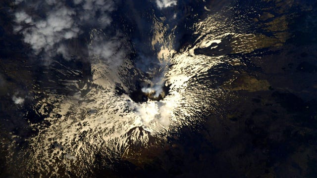
When Hawaii's Mount Kilauea volcano went into overdrive in May, the world watched as lava erupted from fissures in the Earth and steadily rolled across Hawaii's Big Island, destroying everything in its path.
Turns out NASA had a pretty good view of the destruction too.
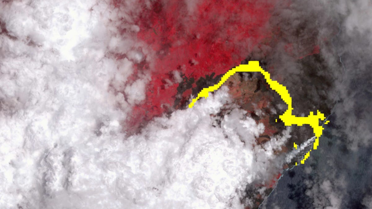
The space agency released satellite imagery, taken on Wednesday, July 25, showing the massive extent of the hot lava flow from Kilauea all the way to the Pacific Ocean.
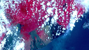
The image shows a long flow of lava (pictured in yellow) snaking across the island and running from fissure 8 on the volcano down to Ahalanui Beach on the island's east. The image also shows the vegetation around the lava flow (shown in red) and clouds above the island (in white).
The image was captured by the Advanced Spaceborne Thermal Emission and Reflection (ASTER) radiometer on board NASA's Terra satellite. According to NASA, ASTER is capable of capturing images across 14 spectral bands, from visible to infrared wavelengths (the infrared channels detected the lava flow, hence the yellow colour).
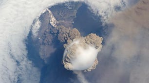
This isn't the first time the Terra satellite has spied out massive natural disasters like this. The school-bus-sized satellite, which orbits around Earth every 99 minutes, previously captured Kilauea's massive volcano fissures, as well as the 2017 California wildfires.