Military backpack maps out 3D interiors
Researchers at UC Berkeley are developing a backpack that can automatically map out building interiors in 3D. Could it be part of Google Earth one day?


Instead of heavy textbooks, your school backpack could one day carry equipment that instantly maps out your environment in 3D. The Air Force recently announced that a portable laser backpack for 3D mapping has been developed by researchers at the University of California at Berkeley.
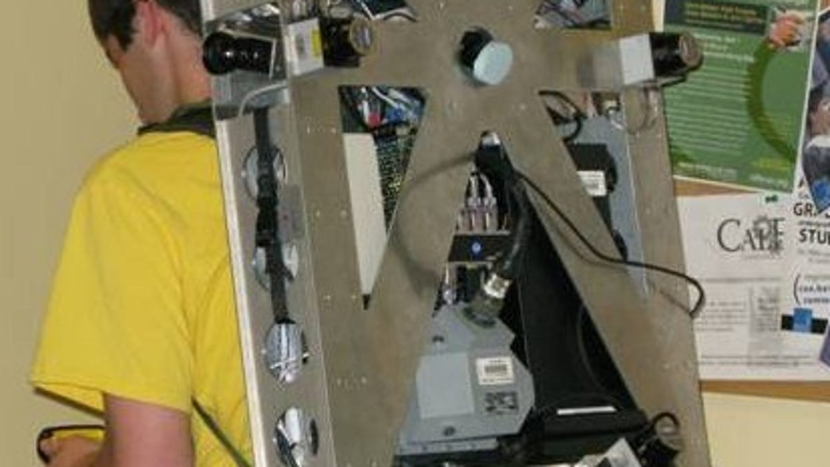
While bulky, the prototype backpack has already been used to map out two stories of Cory Hall, an electrical engineering building on the UC Berkeley campus. It rapidly gathers data while the user walks around inside a building. The information can be put together into a detailed, photo-realistic 3D map.
The researchers include Avideh Zakhor, who has done work on rapid generation of 3D models of city environments, as well as Google Earth's Cities in 3D Program. An obvious application would be integrating 3D models of interiors into Google Maps and Street View for virtual visits.
The military, however, seems keen on using the tech to plot war zone environments. Air Force personnel could review the maps to achieve military goals like mission planning, according to a release by the Air Force Office of Scientific Research.
As seen in the video below, the system uses Hokuyo scanning laser rangefinders, an inertial measurement unit, and laser scanners. Four cameras record both sides as well as above and below the user. Sensor fusion algorithms developed by Zakhor and colleagues combine the data into a model that does not need GPS input.
Having a human walking around scanning the environment, while going up and down stairs, allows for more mobility than a robot. The system could also be used to map out underground areas like caves.
"Every location--indoor and outdoor--in the universe will eventually be mapped, and we'll have it all online," Zakhor says in the video. "So without ever going anywhere you can see what everybody's interior looks like."