Google.org unveils deforestation monitor
Satellite imagery data processor unveiled at climate summit in Copenhagen could provide means to curbing detrimental deforestation.


Google.org demonstrated a new platform on Thursday that, if implemented in conjunction with a proposed United Nations program, could provide a significant tool to combat climate change.
Its new "high-performance satellite imagery-processing engine" can process terabytes of information on thousands of Google servers while giving access to the results online.
The platform, which was demonstrated on Thursday at the International Climate Change Conference in Copenhagen, would allow anyone using the tool to monitor whether or not trees were being chopped down in a given forest. It analyzes satellite images to show forest changes over a given time period.
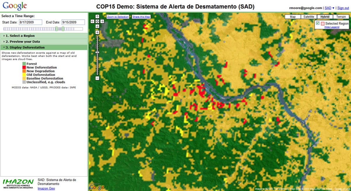
The platform could be used as a tool for countries to conform to REDD (Reducing Emissions from Deforestation and Forest Degradation in Developing Countries), a program proposed by the United Nations.
If REDD is implemented, it would require member nations to monitor the state of their forests and land use. It would offer money in exchange for those nations preventing people from cutting down forests deemed significant to curbing emissions. The aim of the program is to essentially make the trees worth more alive than loggers could make from chopping them down or than farmers could make from converting forestland into farmland.
The benefit of the program is based on the recommendations of several reports, most notably the "Stern Review on the Economics of Climate Change" report conducted by the U.K. government.
The Stern Review report's analysis on land use change (PDF) found that keeping forests intact is one of the most cost-effective ways to quickly cut annual world carbon emissions. The reticence in implementing REDD has been over how the program would be administered, and how forests would be accurately monitored in developing nations where technological resources are limited.
"We hope this technology will help stop the destruction of the world's rapidly-disappearing forests. Emissions from tropical deforestation are comparable to the emissions of all of the European Union, and are greater than those of all cars, trucks, planes, ships, and trains worldwide," Google.org said on its blog.
Currently, the program is in a testing phase with plans from Google.org to "make it more broadly available over the next year." The organization also said it's willing to provide the platform as a "not-for-profit service," an indication that the satellite imagery may not be freely available to the general public, but restricted to scientists, governments, or environmental monitoring agencies.
Google Earth has been providing satellite imagery of forests over time, but an accurate way to quickly and sufficiently analyze the incoming raw satellite imagery data was not readily available, according to Google.org. This new platform provides that missing analysis, the group said.
The platform was developed in conjunction with Greg Asner, professor of the Department of Global Ecology at the Carnegie Institution for Science and of the Department of Geological and Environmental Sciences at Stanford University; and Carlos Souza, a geologist at Imazon, the Amazon Institute for the People and Environment.