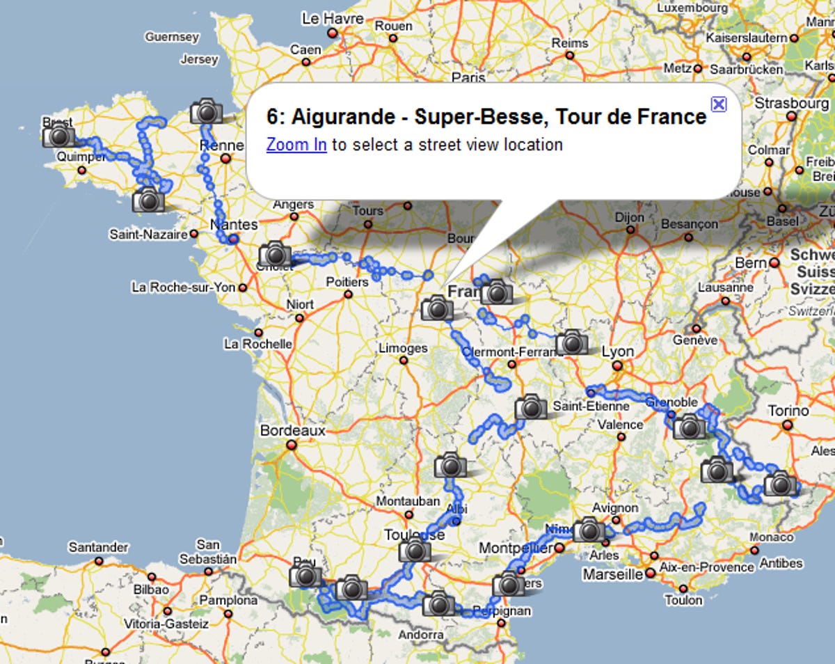
Google now tracking the Tour de France with Street View
Check out each stage of the Tour de France with Google Maps and Street View.


Summer may be a time for fireworks and barbecues in America, but halfway across the globe there's some serious bicycling under way. To celebrate the Tour de France as well as the recent inclusion of Street View in France proper, Google has created a custom Street View map for tracking the entire race route at eye level.
Along for the ride are some of the newer Street View additions like face blurring and the ground filling technology that stitches multiple images together to get rid of noticeable seams. According to Google's Lat Long blog, the Street View van is also using a higher-quality camera rig, so the images are coming in a little cleaner than usual.

Sharp-eyed Google Maps users will also notice that the little yellow Street View person is now riding a bike (complete with head protection), although there's no option to fly around like that cool Katsuomi Kobayashi creation we checked out last month. Maybe some enterprising developer can create something fun before the race is over.
Google's previous forays into organized racing events include the 2008 Olympic torch run, which launched back in April. You can track the torch's progress, past and present here.