Google gathers 3D data with Street View
The search colossus has confirmed that it's using laser scanners to gather 3D data as it photographs cities for its Street View.


- Shankland covered the tech industry for more than 25 years and was a science writer for five years before that. He has deep expertise in microprocessors, digital photography, computer hardware and software, internet standards, web technology, and more.
Google confirmed today it's gathering 3D data along with the photographs it takes for its online Street View service, a potential boon for those of us who fantasize about flying like Superman through urban landscapes, at least virtually.
"The imaging technology includes lasers that collect 3D geometry data," the company said Thursday in a statement. However, for now at least, the 3D information is just experimental, Google said.
Savvy observers, looking at Flickr pictures of Google Street View cars gathering images in Milan, had identified the 3D laser scanners in April. At the time, Google didn't comment at the time, but now has confirmed the scanners as well as the expansion of Google Street View to Europe.
Laser scanners can be used to produce detailed 3D models of buildings or other features, and overlaying photographic imagery can give those models a more lifelike appearance.
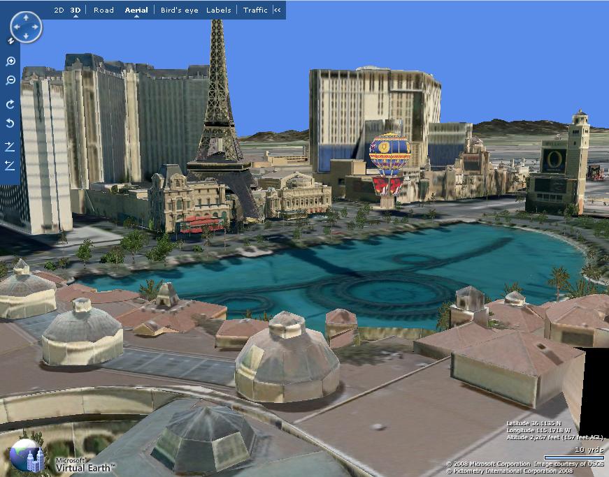
Microsoft has been working to add more sophisticated 3D models to its Virtual Earth site, also using automated technology. Microsoft's software lets people cruise above Las Vegas and a few other cities with detailed 3D maps.
The move probably makes sense, given that it's more economical to gather the most information possible while driving around various cities. And of course Google has a lot of room to store 3D data and servers to process it into something useful that combines the 3D scan data with the photographed view.
It's not clear if there are privacy implications from the move. It's certainly possible that giving people the ability to fly through an extremely realistic reconstruction of the world could set off those who got the willies from Street View's debut or, for that matter, the satellite imagery that now seems relatively mundane.
But I'd think twice before trying to sneak that new addition onto the side of your house without getting a building permit.